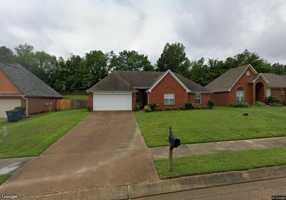
5559 Blocker St Olive Branch, MS 38654
Estimated Value: $230,000 - $271,000
3
Beds
2
Baths
1,438
Sq Ft
$172/Sq Ft
Est. Value
About This Home
This home is located at 5559 Blocker St, Olive Branch, MS 38654 and is currently estimated at $247,851, approximately $172 per square foot. 5559 Blocker St is a home located in DeSoto County with nearby schools including Olive Branch Elementary School, Chickasaw Elementary School, and Olive Branch Middle School.
Ownership History
Date
Name
Owned For
Owner Type
Purchase Details
Closed on
Feb 10, 2013
Sold by
The Bank Of New York Mellon
Bought by
Carter Investment Properties Llc
Current Estimated Value
Home Financials for this Owner
Home Financials are based on the most recent Mortgage that was taken out on this home.
Original Mortgage
$75,397
Interest Rate
3.43%
Mortgage Type
Future Advance Clause Open End Mortgage
Purchase Details
Closed on
May 9, 2012
Sold by
Martin Samuel E and Martin Helen F
Bought by
The Bank Of New York Mellon and The Bank Of New York
Create a Home Valuation Report for This Property
The Home Valuation Report is an in-depth analysis detailing your home's value as well as a comparison with similar homes in the area
Home Values in the Area
Average Home Value in this Area
Purchase History
| Date | Buyer | Sale Price | Title Company |
|---|---|---|---|
| Carter Investment Properties Llc | -- | None Available | |
| The Bank Of New York Mellon | $107,000 | None Available |
Source: Public Records
Mortgage History
| Date | Status | Borrower | Loan Amount |
|---|---|---|---|
| Closed | Carter Investment Properties Llc | $75,397 |
Source: Public Records
Tax History
| Year | Tax Paid | Tax Assessment Tax Assessment Total Assessment is a certain percentage of the fair market value that is determined by local assessors to be the total taxable value of land and additions on the property. | Land | Improvement |
|---|---|---|---|---|
| 2025 | $2,743 | $23,686 | $3,000 | $20,686 |
| 2024 | $2,368 | $17,354 | $3,000 | $14,354 |
| 2023 | $2,368 | $16,465 | $0 | $0 |
| 2022 | $2,247 | $16,465 | $3,000 | $13,465 |
| 2021 | $2,247 | $16,465 | $3,000 | $13,465 |
| 2020 | $2,100 | $15,388 | $3,000 | $12,388 |
| 2019 | $2,100 | $15,388 | $3,000 | $12,388 |
| 2017 | $2,065 | $27,108 | $15,054 | $12,054 |
| 2016 | $2,157 | $15,723 | $3,000 | $12,723 |
| 2015 | $2,157 | $28,446 | $15,723 | $12,723 |
| 2014 | $2,157 | $15,723 | $0 | $0 |
| 2013 | $1,096 | $10,482 | $0 | $0 |
Source: Public Records
Map
Nearby Homes
- 2914 Cypress Lake Dr S
- 5930 Lee's Crossing St
- 5956 Eagleston Dr
- 9598 Nielsen Dr
- 9271 Brooks Dr
- 0 Hacks Rd Unit 4132565
- 5427 Highway 305 N
- 5295 Blocker St
- 10009 Lacey Dr
- 9784 Mosby Dr
- 6180 Rd
- 6073 Allen Pkwy E
- 9113 Rue Orleans Ln
- 9077 Rue Orleans Ln
- 9893 Cherokee Dr
- 7550 Old Highway 78
- 6748 Cockrum Rd
- 5608 Marlin Place
- 0 Caroma Unit 4006992
- 0 Caroma Unit 10199426
- 5571 Blocker St
- 5547 Blocker St
- 5535 Blocker St
- 5564 Blocker St
- 5552 Blocker St
- 5576 Blocker St
- 5595 Blocker St
- 5523 Blocker St
- 5540 Blocker St
- 5588 Blocker St
- 5511 Blocker St
- 5661 Stone St
- 5600 Blocker St
- 5673 Stone St
- 5671 Lee's Crossing Dr
- 5671 Lees Crossing
- 5612 Blocker St
- 5619 Blocker St
- 5499 Blocker St
- 5634 Stone St
Your Personal Tour Guide
Ask me questions while you tour the home.