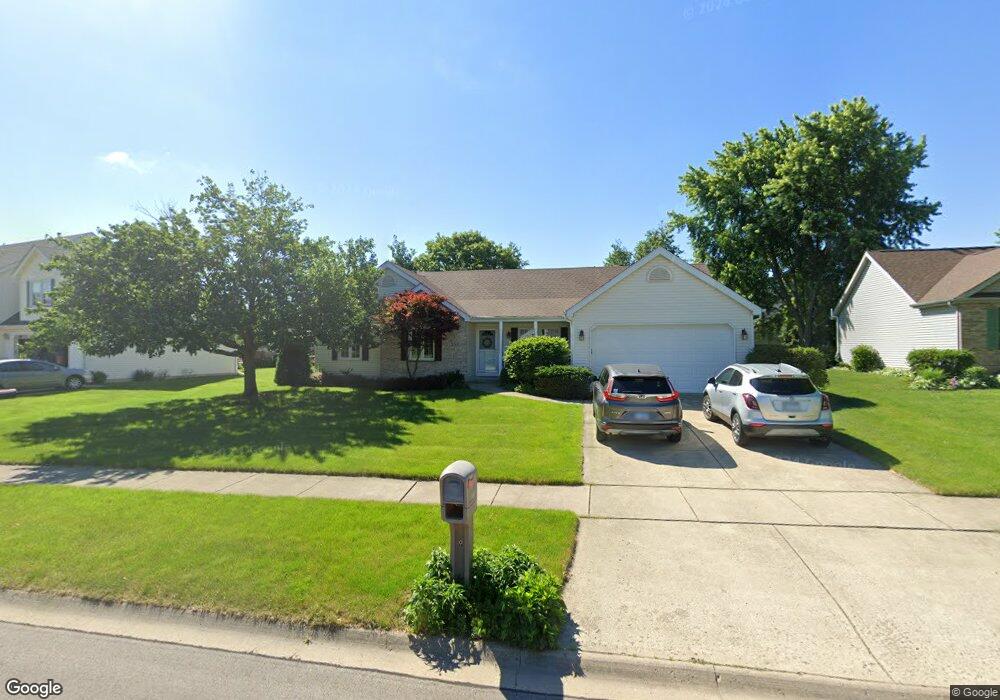
556 Burning Bush Dr Yorkville, IL 60560
Estimated Value: $372,000 - $389,214
--
Bed
1
Bath
1,686
Sq Ft
$226/Sq Ft
Est. Value
About This Home
This home is located at 556 Burning Bush Dr, Yorkville, IL 60560 and is currently estimated at $381,304, approximately $226 per square foot. 556 Burning Bush Dr is a home located in Kendall County with nearby schools including Circle Center Grade School, Yorkville Intermediate School, and Yorkville Middle School.
Ownership History
Date
Name
Owned For
Owner Type
Purchase Details
Closed on
Aug 2, 2000
Sold by
Greyer Timothy E
Bought by
Doles Donald S and Doles Donna M
Current Estimated Value
Purchase Details
Closed on
Mar 24, 2000
Sold by
The Old Second National Bank Of Aurora
Bought by
Greyer Timothy E
Home Financials for this Owner
Home Financials are based on the most recent Mortgage that was taken out on this home.
Original Mortgage
$140,000
Interest Rate
8.22%
Create a Home Valuation Report for This Property
The Home Valuation Report is an in-depth analysis detailing your home's value as well as a comparison with similar homes in the area
Home Values in the Area
Average Home Value in this Area
Purchase History
| Date | Buyer | Sale Price | Title Company |
|---|---|---|---|
| Doles Donald S | $174,000 | Law Title Insurance Co Inc | |
| Greyer Timothy E | $36,000 | -- |
Source: Public Records
Mortgage History
| Date | Status | Borrower | Loan Amount |
|---|---|---|---|
| Previous Owner | Greyer Timothy E | $140,000 |
Source: Public Records
Tax History Compared to Growth
Tax History
| Year | Tax Paid | Tax Assessment Tax Assessment Total Assessment is a certain percentage of the fair market value that is determined by local assessors to be the total taxable value of land and additions on the property. | Land | Improvement |
|---|---|---|---|---|
| 2024 | $8,039 | $108,210 | $13,740 | $94,470 |
| 2023 | $7,541 | $95,408 | $13,603 | $81,805 |
| 2022 | $7,541 | $89,084 | $13,428 | $75,656 |
| 2021 | $6,694 | $78,642 | $13,653 | $64,989 |
| 2020 | $6,269 | $73,073 | $13,626 | $59,447 |
| 2019 | $6,077 | $69,917 | $13,385 | $56,532 |
| 2018 | $5,967 | $67,579 | $13,385 | $54,194 |
| 2017 | $5,927 | $65,767 | $13,026 | $52,741 |
| 2016 | $2,904 | $63,098 | $12,601 | $50,497 |
| 2015 | $2,760 | $58,277 | $11,434 | $46,843 |
| 2014 | -- | $55,989 | $11,377 | $44,612 |
| 2013 | -- | $55,989 | $11,377 | $44,612 |
Source: Public Records
Map
Nearby Homes
- 1459 Wood Sage Ave
- 510 W Dolph St Unit 2
- 9211 Illinois 126
- 807 State St
- W Fox Rd
- 664 White Oak Way
- 705 State St
- 706 S Main St
- 467 Poplar Dr
- 312 Olsen St
- 303 E Fox Rd
- 232 Windham Cir
- 2039 Muirfield Dr Unit 1881
- 301 E Van Emmon St
- 97 Crooked Creek Dr
- 852 Timber Oak Ln
- 2054 Kingsmill Ct
- The Mullberry Plan at Timber Ridge Estates
- 2328 Noble Ln
- 3504 Richardson Cir
- 538 Burning Bush Dr
- 582 Burning Bush Dr
- 521 W Barberry Cir
- 522 Burning Bush Dr Unit 3
- 511 W Barberry Cir Unit 2
- 525 W Barberry Cir
- 594 Burning Bush Dr
- 1394 Coral Berry Ct Unit 3
- 569 Burning Bush Dr Unit 3
- 507 W Barberry Cir
- 547 Burning Bush Dr Unit 3
- 529 W Barberry Cir
- 1363 Walsh Dr
- 634 Burning Bush Dr
- 1386 Coral Berry Ct Unit 3
- 503 W Barberry Cir
- 533 W Barberry Cir
- 1399 Coral Berry Ct
- 668 Burning Bush Dr
- 1372 Coral Berry Ct Unit 3