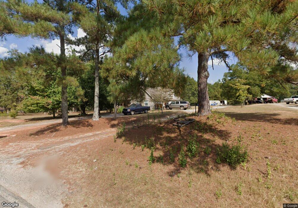
556 Cannafax Rd Barnesville, GA 30204
Estimated Value: $247,629 - $413,000
4
Beds
2
Baths
2,002
Sq Ft
$165/Sq Ft
Est. Value
About This Home
This home is located at 556 Cannafax Rd, Barnesville, GA 30204 and is currently estimated at $330,407, approximately $165 per square foot. 556 Cannafax Rd is a home located in Lamar County with nearby schools including Lamar County Primary School, Lamar County Elementary School, and Lamar County Middle School.
Ownership History
Date
Name
Owned For
Owner Type
Purchase Details
Closed on
Jul 26, 2010
Sold by
Waller Candy
Bought by
Thompson Grant Wesley
Current Estimated Value
Home Financials for this Owner
Home Financials are based on the most recent Mortgage that was taken out on this home.
Original Mortgage
$145,800
Outstanding Balance
$96,033
Interest Rate
4.7%
Mortgage Type
New Conventional
Estimated Equity
$234,374
Purchase Details
Closed on
Apr 1, 2005
Sold by
Waller David
Bought by
Waller Candy
Purchase Details
Closed on
Apr 1, 1996
Sold by
Adams Hazel J
Bought by
Waller David
Create a Home Valuation Report for This Property
The Home Valuation Report is an in-depth analysis detailing your home's value as well as a comparison with similar homes in the area
Purchase History
| Date | Buyer | Sale Price | Title Company |
|---|---|---|---|
| Thompson Grant Wesley | -- | -- | |
| Waller Candy | -- | -- | |
| Waller David | -- | -- |
Source: Public Records
Mortgage History
| Date | Status | Borrower | Loan Amount |
|---|---|---|---|
| Open | Thompson Grant Wesley | $145,800 |
Source: Public Records
Tax History
| Year | Tax Paid | Tax Assessment Tax Assessment Total Assessment is a certain percentage of the fair market value that is determined by local assessors to be the total taxable value of land and additions on the property. | Land | Improvement |
|---|---|---|---|---|
| 2025 | $2,206 | $100,705 | $5,995 | $94,710 |
| 2024 | $2,043 | $81,721 | $5,995 | $75,726 |
| 2023 | $2,351 | $87,049 | $5,995 | $81,054 |
| 2022 | $2,106 | $78,170 | $3,116 | $75,054 |
| 2021 | $1,498 | $51,736 | $3,116 | $48,620 |
| 2020 | $1,577 | $51,736 | $3,116 | $48,620 |
| 2019 | $1,581 | $51,736 | $3,116 | $48,620 |
| 2018 | $1,519 | $51,736 | $3,116 | $48,620 |
| 2017 | $1,511 | $51,736 | $3,116 | $48,620 |
| 2016 | $1,511 | $51,736 | $3,116 | $48,620 |
| 2015 | $1,506 | $51,735 | $3,116 | $48,620 |
| 2014 | $1,533 | $52,237 | $3,116 | $49,121 |
| 2013 | -- | $52,236 | $3,115 | $49,121 |
Source: Public Records
Map
Nearby Homes
- 111 Needleleaf Ct
- 255 Needleleaf Dr
- 818 Cannafax Rd
- 746 Highway 18 W
- 270 Cannafax Rd
- 696 Georgia 18
- 146 Berry Rd Unit LOT 12B
- 148 Berry Rd Unit LOT 12A
- 144 Berry Rd Unit LOT 13
- 150 Berry Rd
- 475 Piedmont Rd
- 0 Perkins Rd Unit 253616
- 0 Perkins Rd Unit 10699928
- 0 Perkins Rd Unit 10625263
- 0 Perkins Rd Unit 7692755
- 109 Barnesville Ave
- 178 Barnesville Ave
- 13 Brown St
- 407 Westchester Dr
- 916 Highway 36 W
- 568 Cannafax Rd
- 540 Cannafax Rd
- 557 Cannafax Rd
- 438 Burnette Rd
- 578 Cannafax Rd
- 558 Cannafax Rd
- 558 Cannafax Rd
- 526 Cannafax Rd
- 427 Burnette Rd
- 408 Burnette Rd
- 594 Cannafax Rd
- 594 Cannafax Rd
- 594 Cannafax Rd
- 594 Cannafax Rd
- 417 Burnette Rd
- 510 Cannafax Rd
- 421 Burnette Rd
- 403 Burnette Rd
- 608 Cannafax Rd
- 613 Cannafax Rd
Your Personal Tour Guide
Ask me questions while you tour the home.