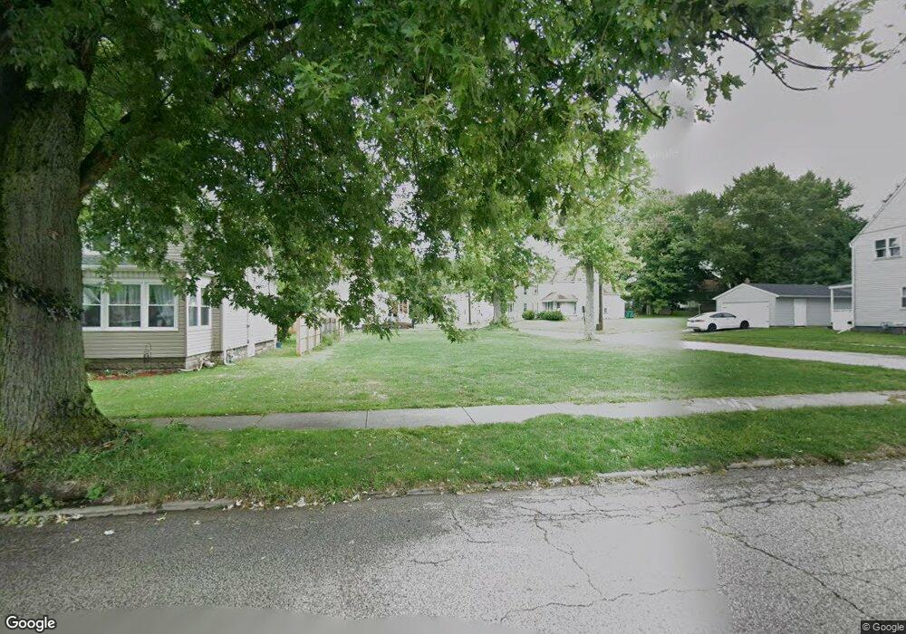
556 Harbor St Conneaut, OH 44030
Estimated Value: $56,000
3
Beds
1
Bath
1,916
Sq Ft
$29/Sq Ft
Est. Value
About This Home
This home is located at 556 Harbor St, Conneaut, OH 44030 and is currently priced at $56,000, approximately $29 per square foot. 556 Harbor St is a home located in Ashtabula County with nearby schools including Lakeshore Primary Elementary School, Gateway Elementary School, and Conneaut Middle School.
Ownership History
Date
Name
Owned For
Owner Type
Purchase Details
Closed on
May 7, 2018
Sold by
Keyes R William and Cragon Dawn M
Bought by
Ashtabula County Land Reutilization Corp
Current Estimated Value
Purchase Details
Closed on
Jul 19, 2016
Sold by
Gilmore Kimberly K
Bought by
Keyes William
Purchase Details
Closed on
Jul 15, 2013
Sold by
Gilmore Robert W
Bought by
Gilmore Kimberly K
Create a Home Valuation Report for This Property
The Home Valuation Report is an in-depth analysis detailing your home's value as well as a comparison with similar homes in the area
Home Values in the Area
Average Home Value in this Area
Purchase History
| Date | Buyer | Sale Price | Title Company |
|---|---|---|---|
| Ashtabula County Land Reutilization Corp | -- | None Available | |
| Keyes William | -- | None Available | |
| Gilmore Kimberly K | -- | Multiple |
Source: Public Records
Tax History
| Year | Tax Paid | Tax Assessment Tax Assessment Total Assessment is a certain percentage of the fair market value that is determined by local assessors to be the total taxable value of land and additions on the property. | Land | Improvement |
|---|---|---|---|---|
| 2024 | -- | $1,090 | $1,090 | -- |
| 2023 | $0 | $1,090 | $1,090 | $0 |
| 2022 | $0 | $1,090 | $1,090 | $0 |
| 2021 | $0 | $1,090 | $1,090 | $0 |
| 2020 | $0 | $1,090 | $1,090 | $0 |
| 2019 | $10 | $1,190 | $1,190 | $0 |
| 2018 | $10 | $12,880 | $1,190 | $11,690 |
| 2017 | $701 | $12,880 | $1,190 | $11,690 |
| 2016 | $720 | $15,050 | $1,400 | $13,650 |
| 2015 | $2,998 | $15,050 | $1,400 | $13,650 |
| 2014 | $2,127 | $15,050 | $1,400 | $13,650 |
| 2013 | $1,392 | $14,980 | $1,750 | $13,230 |
Source: Public Records
Map
Nearby Homes
- 169 River St
- 386 Washington St
- 450 Buffalo St
- 375 Bliss Ave
- 146 Nickle Plate Ave
- 284 Clay St
- 716 Chestnut St
- 992 Mill St
- 475 State St
- 536 Madison St
- 474 Sherman St
- 681 Madison St
- 745 Maple Ave
- 238 Whitney St
- 434 E Main Rd
- 855 Spring St Unit S9
- 18 Hillcrest Ct
- 0 Dorman Rd
- 110 Edgewood Dr
- 1145 Lake Rd
Your Personal Tour Guide
Ask me questions while you tour the home.