556 Harmon Rd Unicoi, TN 37692
Estimated Value: $159,000 - $214,000
--
Bed
--
Bath
1,568
Sq Ft
$124/Sq Ft
Est. Value
About This Home
This home is located at 556 Harmon Rd, Unicoi, TN 37692 and is currently estimated at $193,942, approximately $123 per square foot. 556 Harmon Rd is a home with nearby schools including Unicoi Elementary School, Unicoi County Middle School, and Unicoi County High School.
Ownership History
Date
Name
Owned For
Owner Type
Purchase Details
Closed on
Jan 15, 2021
Sold by
Ameigh Georgia J
Bought by
Bourn Jeffrey J E and Bourn Brenda S
Current Estimated Value
Purchase Details
Closed on
Sep 17, 2001
Sold by
Jeffrey Harmon
Bought by
James Ameigh
Home Financials for this Owner
Home Financials are based on the most recent Mortgage that was taken out on this home.
Original Mortgage
$39,600
Interest Rate
6.89%
Purchase Details
Closed on
Jan 7, 2000
Bought by
Robert Harmon
Purchase Details
Closed on
Jun 14, 1999
Bought by
Harmon Robert and Harmon Myra Harmon
Purchase Details
Closed on
Nov 12, 1990
Bought by
Estep Roy
Purchase Details
Closed on
Dec 18, 1989
Bought by
Erwin National Bank
Create a Home Valuation Report for This Property
The Home Valuation Report is an in-depth analysis detailing your home's value as well as a comparison with similar homes in the area
Home Values in the Area
Average Home Value in this Area
Purchase History
| Date | Buyer | Sale Price | Title Company |
|---|---|---|---|
| Bourn Jeffrey J E | $100,550 | None Available | |
| James Ameigh | $49,500 | -- | |
| Robert Harmon | $49,000 | -- | |
| Harmon Robert | $49,000 | -- | |
| Estep Roy | $22,000 | -- | |
| Erwin National Bank | $30,000 | -- |
Source: Public Records
Mortgage History
| Date | Status | Borrower | Loan Amount |
|---|---|---|---|
| Previous Owner | Erwin National Bank | $39,600 |
Source: Public Records
Tax History Compared to Growth
Tax History
| Year | Tax Paid | Tax Assessment Tax Assessment Total Assessment is a certain percentage of the fair market value that is determined by local assessors to be the total taxable value of land and additions on the property. | Land | Improvement |
|---|---|---|---|---|
| 2024 | $737 | $28,250 | $3,325 | $24,925 |
| 2023 | $737 | $28,250 | $0 | $0 |
| 2022 | $664 | $28,250 | $3,325 | $24,925 |
| 2021 | $449 | $15,725 | $3,000 | $12,725 |
| 2020 | $422 | $15,725 | $3,000 | $12,725 |
| 2019 | $422 | $15,725 | $3,000 | $12,725 |
| 2018 | $422 | $15,725 | $3,000 | $12,725 |
| 2017 | $422 | $15,725 | $3,000 | $12,725 |
| 2016 | $433 | $16,150 | $2,800 | $13,350 |
| 2015 | -- | $16,150 | $0 | $0 |
| 2014 | -- | $16,150 | $0 | $0 |
Source: Public Records
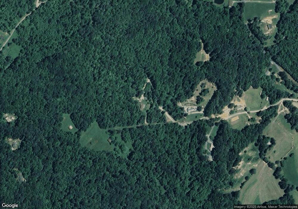
Map
Nearby Homes
- 1102 Foxhound Hills Cir
- Tbd Holly Hill Rd
- Tbd Edith Gouge Rd Unit LotWP001
- 145 Escape Mountain Rd
- 19/Ac Tbd Edith Gouge Rd
- 2353 Highway 107
- 175 Scenic Apartment Rd
- 48 Homestead Dr
- 150 Teague Ln
- 874 Fairview Rd
- 147 Fiddlers Branch Rd
- Tbd Tolley Rd
- 203 Ox Bow Ave
- 205 Ox Bow Ave
- 206 Ox Bow Ave
- 204 Ox Bow Ave
- 202 Ox Bow Ave
- 183 Ox Bow
- Lot 182 Ox Bow Ave
- Lot 181 Ox Bow Rd
- 568 Harmon Rd
- 115 Persky Ln
- 544 Harmon Rd
- 528 Harmon Rd
- 2325 Upper Stone Mountain Rd
- 516 Campbell Rd
- 2359 Upper Stone Mountain Rd
- 1002 Foxhound Hills Cir
- 175 Lady Bug Ln
- 510 Campbell Rd
- 0 Lady Bug Ln
- 00 Lady Bug Ln
- 2348 Upper Stone Mountain Rd
- 2223 Upper Stone Mountain Rd
- 1623 Foxhound Hills Cir
- 1634 Foxhound Hills Cir
- 1630 Foxhound Hills Cir
- 150 Upper Stone Mountain Rd
- 0 Upper Stone Mountain Rd
- 00 Upper Stone Mountain Rd