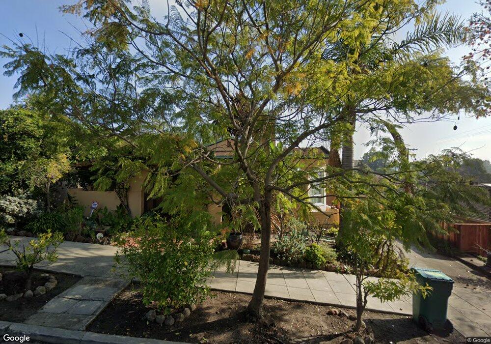
556 Kenwyn Rd Oakland, CA 94610
Cleveland Heights NeighborhoodEstimated Value: $1,053,920 - $1,240,000
3
Beds
2
Baths
1,548
Sq Ft
$726/Sq Ft
Est. Value
About This Home
This home is located at 556 Kenwyn Rd, Oakland, CA 94610 and is currently estimated at $1,124,480, approximately $726 per square foot. 556 Kenwyn Rd is a home located in Alameda County with nearby schools including Cleveland Elementary School, Edna Brewer Middle School, and Oakland High School.
Ownership History
Date
Name
Owned For
Owner Type
Purchase Details
Closed on
Mar 11, 2009
Sold by
Saberi Doris
Bought by
Saberi Doris L
Current Estimated Value
Home Financials for this Owner
Home Financials are based on the most recent Mortgage that was taken out on this home.
Original Mortgage
$280,000
Outstanding Balance
$178,231
Interest Rate
5.15%
Mortgage Type
New Conventional
Estimated Equity
$946,249
Purchase Details
Closed on
Sep 11, 1995
Sold by
Soars Robert L and Robert L Soares Trust
Bought by
Saberi Doris
Home Financials for this Owner
Home Financials are based on the most recent Mortgage that was taken out on this home.
Original Mortgage
$140,850
Interest Rate
7.88%
Purchase Details
Closed on
Jun 24, 1994
Sold by
Soares Robert L
Bought by
Soares Robert L and The Robert L Soares Trust
Create a Home Valuation Report for This Property
The Home Valuation Report is an in-depth analysis detailing your home's value as well as a comparison with similar homes in the area
Home Values in the Area
Average Home Value in this Area
Purchase History
| Date | Buyer | Sale Price | Title Company |
|---|---|---|---|
| Saberi Doris L | -- | North American Title Company | |
| Saberi Doris | $156,500 | Fidelity National Title Ins | |
| Soares Robert L | -- | -- |
Source: Public Records
Mortgage History
| Date | Status | Borrower | Loan Amount |
|---|---|---|---|
| Open | Saberi Doris L | $280,000 | |
| Closed | Saberi Doris | $140,850 |
Source: Public Records
Tax History Compared to Growth
Tax History
| Year | Tax Paid | Tax Assessment Tax Assessment Total Assessment is a certain percentage of the fair market value that is determined by local assessors to be the total taxable value of land and additions on the property. | Land | Improvement |
|---|---|---|---|---|
| 2025 | $5,626 | $305,853 | $78,074 | $234,779 |
| 2024 | $5,626 | $299,718 | $76,543 | $230,175 |
| 2023 | $5,828 | $300,706 | $75,043 | $225,663 |
| 2022 | $5,631 | $287,810 | $73,571 | $221,239 |
| 2021 | $5,291 | $282,031 | $72,129 | $216,902 |
| 2020 | $5,231 | $286,068 | $71,390 | $214,678 |
| 2019 | $4,976 | $280,460 | $69,990 | $210,470 |
| 2018 | $4,874 | $274,962 | $68,618 | $206,344 |
| 2017 | $4,666 | $269,572 | $67,273 | $202,299 |
| 2016 | $4,456 | $264,287 | $65,954 | $198,333 |
| 2015 | $4,429 | $260,320 | $64,964 | $195,356 |
| 2014 | $4,414 | $255,222 | $63,692 | $191,530 |
Source: Public Records
Map
Nearby Homes
- 512 Haddon Rd
- 696 Athol Ave Unit 203
- 864 Brooklyn Ave
- 551 Merritt Ave Unit 1
- 867 Prospect Ave
- 444 Newton Ave
- 410 Merritt Ave
- 2268 Park Blvd
- 2760 Park Blvd
- 2155 Park Blvd
- 2108 Lakeshore Ave
- 742 Wesley Way Unit 2C
- 742 Wesley Way Unit 2D
- 710 E 22nd St Unit 304
- 314 Hanover Ave
- 901 E 28th St
- 400 Wayne Ave Unit 1
- 667 Mandana Blvd
- 806 Northvale Rd
- 2445 10th Ave