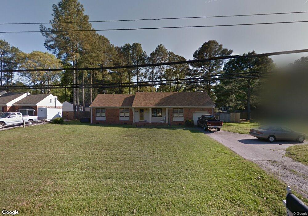
556 Mt Pleasant Rd Chesapeake, VA 23322
Pleasant Grove West NeighborhoodEstimated Value: $418,000 - $455,000
4
Beds
3
Baths
1,717
Sq Ft
$257/Sq Ft
Est. Value
About This Home
This home is located at 556 Mt Pleasant Rd, Chesapeake, VA 23322 and is currently estimated at $440,793, approximately $256 per square foot. 556 Mt Pleasant Rd is a home located in Chesapeake City with nearby schools including Butts Road Primary School, Butts Road Intermediate School, and Great Bridge Middle School.
Ownership History
Date
Name
Owned For
Owner Type
Purchase Details
Closed on
Apr 16, 2009
Sold by
Hsbc Bank Usa N A As Trus
Bought by
Fulton Lance P
Current Estimated Value
Home Financials for this Owner
Home Financials are based on the most recent Mortgage that was taken out on this home.
Original Mortgage
$235,551
Outstanding Balance
$148,185
Interest Rate
4.85%
Mortgage Type
FHA
Estimated Equity
$292,608
Purchase Details
Closed on
Sep 6, 2002
Sold by
Carter Building Llc
Bought by
Morsan Steven E
Home Financials for this Owner
Home Financials are based on the most recent Mortgage that was taken out on this home.
Original Mortgage
$151,050
Interest Rate
6.36%
Create a Home Valuation Report for This Property
The Home Valuation Report is an in-depth analysis detailing your home's value as well as a comparison with similar homes in the area
Home Values in the Area
Average Home Value in this Area
Purchase History
| Date | Buyer | Sale Price | Title Company |
|---|---|---|---|
| Fulton Lance P | $239,900 | -- | |
| Morsan Steven E | $159,000 | -- |
Source: Public Records
Mortgage History
| Date | Status | Borrower | Loan Amount |
|---|---|---|---|
| Open | Fulton Lance P | $235,551 | |
| Previous Owner | Morsan Steven E | $151,050 |
Source: Public Records
Tax History
| Year | Tax Paid | Tax Assessment Tax Assessment Total Assessment is a certain percentage of the fair market value that is determined by local assessors to be the total taxable value of land and additions on the property. | Land | Improvement |
|---|---|---|---|---|
| 2025 | $3,754 | $390,700 | $170,000 | $220,700 |
| 2024 | $3,754 | $371,700 | $170,000 | $201,700 |
| 2023 | $3,151 | $351,000 | $160,000 | $191,000 |
| 2022 | $3,123 | $309,200 | $135,000 | $174,200 |
| 2021 | $2,728 | $268,000 | $110,000 | $158,000 |
| 2020 | $2,700 | $257,100 | $105,000 | $152,100 |
| 2019 | $2,700 | $257,100 | $105,000 | $152,100 |
| 2018 | $2,727 | $259,700 | $105,000 | $154,700 |
| 2017 | $2,531 | $241,000 | $103,200 | $137,800 |
| 2016 | $2,517 | $239,700 | $94,600 | $145,100 |
| 2015 | $2,453 | $233,600 | $94,000 | $139,600 |
| 2014 | $2,400 | $228,600 | $94,000 | $134,600 |
Source: Public Records
Map
Nearby Homes
- 524 Summit Ridge Dr
- 541 Long Ave
- 400 Beauregard Dr
- 412 Warhawks Rd
- 660 Etheridge Rd
- 805 Poplar Ridge Dr
- 700 Lindenbrook Ln
- 804 Sugar Maple Ln
- 648 Rutherford Dr
- 1000 Joan Ct
- 911 Mount Pleasant Rd
- 343 Ewell Ln
- 712 Jubilee Ct
- 909 Douglas Eley Ln
- 627 Luray Terrace
- 912 Vikingfield Terrace
- 937 Mount Pleasant Rd
- 441 Chandler Dr
- 270 Carawan Ln
- 901 Weeping Willow Dr
- 556 Mount Pleasant Rd
- 552 Mount Pleasant Rd
- 552 Mt Pleasant Rd
- 560 Mount Pleasant Rd
- 560 Mt Pleasant Rd
- 528 Warhawks Rd
- 524 Warhawks Rd
- 532 Warhawks Rd
- 573 Mt Pleasant Rd
- 573 Mount Pleasant Rd
- 548 Mt Pleasant Rd
- 569 Mt Pleasant Rd
- 548 Mount Pleasant Rd
- 569 Mount Pleasant Rd
- 577 Mt Pleasant Rd
- 577 Mount Pleasant Rd
- 565 Mount Pleasant Rd
- 520 Warhawks Rd
- 560 Rebel Rd
- 565 Mt Pleasant Rd
Your Personal Tour Guide
Ask me questions while you tour the home.