556 New Rd Center Barnstead, NH 03225
Estimated Value: $503,000 - $608,000
3
Beds
2
Baths
2,035
Sq Ft
$274/Sq Ft
Est. Value
About This Home
This home is located at 556 New Rd, Center Barnstead, NH 03225 and is currently estimated at $558,587, approximately $274 per square foot. 556 New Rd is a home with nearby schools including Barnstead Elementary School and Prospect Mountain High School.
Create a Home Valuation Report for This Property
The Home Valuation Report is an in-depth analysis detailing your home's value as well as a comparison with similar homes in the area
Home Values in the Area
Average Home Value in this Area
Tax History Compared to Growth
Tax History
| Year | Tax Paid | Tax Assessment Tax Assessment Total Assessment is a certain percentage of the fair market value that is determined by local assessors to be the total taxable value of land and additions on the property. | Land | Improvement |
|---|---|---|---|---|
| 2024 | $5,425 | $332,618 | $105,918 | $226,700 |
| 2023 | $4,774 | $332,670 | $105,970 | $226,700 |
| 2022 | $4,833 | $223,757 | $49,057 | $174,700 |
| 2021 | $4,919 | $224,016 | $49,316 | $174,700 |
| 2020 | $5,180 | $224,233 | $49,533 | $174,700 |
| 2019 | $2,117 | $224,390 | $49,690 | $174,700 |
| 2018 | $4,547 | $224,033 | $49,333 | $174,700 |
| 2017 | $4,399 | $179,433 | $38,133 | $141,300 |
| 2016 | $4,893 | $179,549 | $38,249 | $141,300 |
| 2015 | $4,875 | $179,574 | $38,274 | $141,300 |
| 2014 | $4,570 | $190,742 | $51,942 | $138,800 |
| 2013 | $4,478 | $190,552 | $51,752 | $138,800 |
Source: Public Records
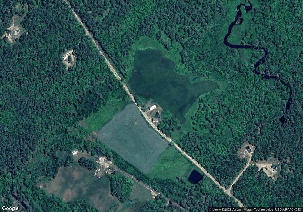
Map
Nearby Homes
- 572 S Barnstead Rd
- 77 Holmes Rd
- L68-2 Vail Rd
- L68-1 Vail Rd
- 38 Chapelle Rd
- 152 Evans Rd
- 109 Vail Rd
- 11 Gray Rd
- 77 Vail Rd
- 277 Shackford Corner Rd
- 25 Vail Rd
- 109 Shackford Corner Rd
- 4 Sandy Point Rd
- 85 Province Rd
- 1760 Province Rd
- 956 N Barnstead Rd
- 9 Nutter Cir
- 93 E Huntress Pond Rd
- O N Shore Dr
- M2-l29-2 Province Rd