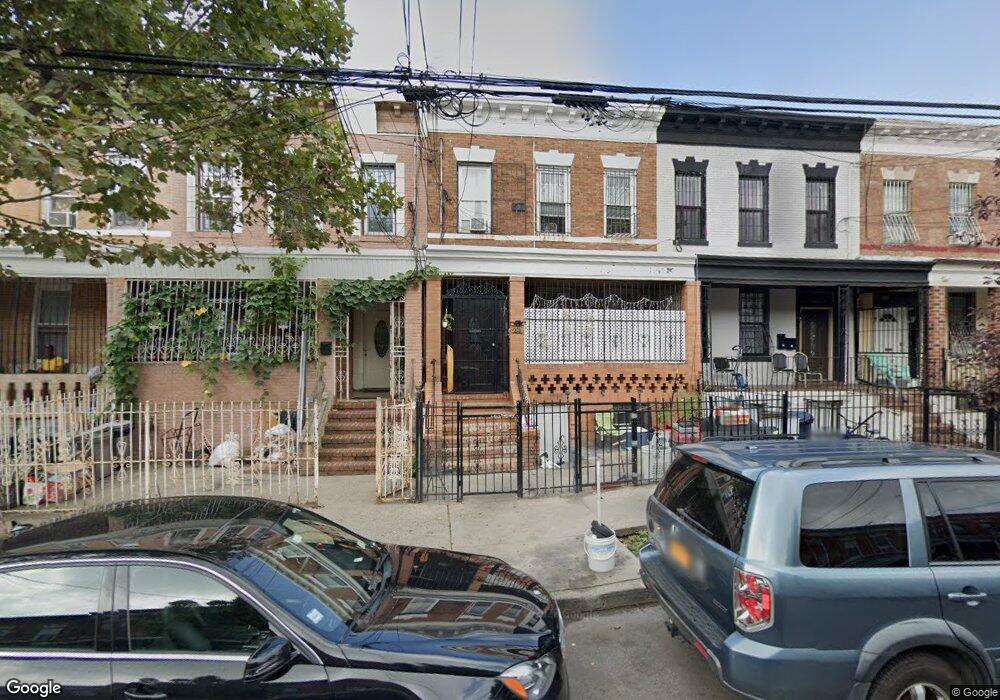
556 Pine St Brooklyn, NY 11208
East New York NeighborhoodEstimated Value: $680,574 - $1,042,000
Studio
--
Bath
2,120
Sq Ft
$432/Sq Ft
Est. Value
About This Home
This home is located at 556 Pine St, Brooklyn, NY 11208 and is currently estimated at $916,644, approximately $432 per square foot. 556 Pine St is a home located in Kings County with nearby schools including P.S. 159 Isaac Pitkin, Brooklyn Scholars Charter School, and Achievement First Aspire Charter.
Ownership History
Date
Name
Owned For
Owner Type
Purchase Details
Closed on
May 18, 2023
Sold by
Weir Caswell H
Bought by
Weir Caswell H and Weir Karleen D
Current Estimated Value
Purchase Details
Closed on
Jun 1, 1995
Sold by
Rite Properties Ltd
Bought by
Weir Casell H
Home Financials for this Owner
Home Financials are based on the most recent Mortgage that was taken out on this home.
Original Mortgage
$158,850
Interest Rate
7.82%
Mortgage Type
FHA
Purchase Details
Closed on
Feb 9, 1995
Sold by
Citibank Na
Bought by
Rite Properties Ltd
Create a Home Valuation Report for This Property
The Home Valuation Report is an in-depth analysis detailing your home's value as well as a comparison with similar homes in the area
Home Values in the Area
Average Home Value in this Area
Purchase History
| Date | Buyer | Sale Price | Title Company |
|---|---|---|---|
| Weir Caswell H | -- | -- | |
| Weir Casell H | $159,000 | Stewart Title Insurance Co | |
| Rite Properties Ltd | $85,000 | Commonwealth Land Title Ins |
Source: Public Records
Mortgage History
| Date | Status | Borrower | Loan Amount |
|---|---|---|---|
| Closed | Weir Casell H | $158,850 |
Source: Public Records
Tax History
| Year | Tax Paid | Tax Assessment Tax Assessment Total Assessment is a certain percentage of the fair market value that is determined by local assessors to be the total taxable value of land and additions on the property. | Land | Improvement |
|---|---|---|---|---|
| 2025 | $5,008 | $49,140 | $10,080 | $39,060 |
| 2024 | $5,008 | $46,620 | $10,080 | $36,540 |
| 2023 | $4,780 | $53,340 | $10,080 | $43,260 |
| 2022 | $4,434 | $52,920 | $10,080 | $42,840 |
| 2021 | $4,410 | $40,860 | $10,080 | $30,780 |
| 2019 | $4,347 | $38,460 | $10,080 | $28,380 |
| 2018 | $3,999 | $19,615 | $7,439 | $12,176 |
| 2017 | $3,773 | $18,511 | $5,856 | $12,655 |
| 2016 | $3,491 | $17,464 | $6,062 | $11,402 |
| 2015 | $2,106 | $17,464 | $5,886 | $11,578 |
| 2014 | $2,106 | $17,317 | $6,548 | $10,769 |
Source: Public Records
Map
Nearby Homes
- 661 Euclid Ave
- 600 Pine St
- 551 Euclid Ave Unit 4
- 1323 Sutter Ave
- 667 Hemlock St
- 1371-1373 Dumont Ave
- 1059 Belmont Ave
- 430 Pine St
- 727 Euclid Ave
- 1128 Belmont Ave
- 194 Crystal St
- 555 Hemlock St
- 577 Logan St
- 1394 Dumont Ave
- 778 Lincoln Ave
- 1145 Sutter Ave
- 1140 Sutter Ave
- 321 Milford St
- 127 Crystal St
- 126 Crystal St
Your Personal Tour Guide
Ask me questions while you tour the home.