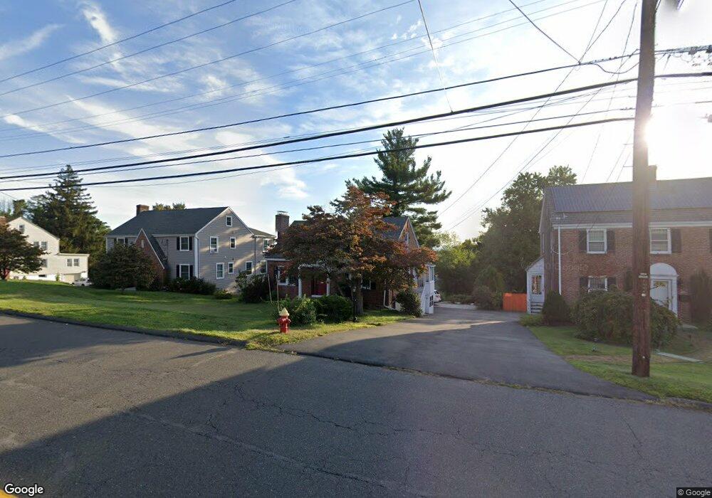
556 Ridge Rd Wethersfield, CT 06109
Estimated Value: $446,255 - $515,000
3
Beds
3
Baths
1,795
Sq Ft
$264/Sq Ft
Est. Value
About This Home
This home is located at 556 Ridge Rd, Wethersfield, CT 06109 and is currently estimated at $473,564, approximately $263 per square foot. 556 Ridge Rd is a home located in Hartford County with nearby schools including Emerson-Williams School, Silas Deane Middle School, and Wethersfield High School.
Ownership History
Date
Name
Owned For
Owner Type
Purchase Details
Closed on
Apr 30, 2018
Sold by
Miner Bruce B and Miner Jeanne D
Bought by
Bruce B Miner Jr Lt
Current Estimated Value
Purchase Details
Closed on
Jan 23, 1995
Sold by
Vanvlack Milton C and Vanvlack Janis K
Bought by
Miner Bruce B and Miner Jeanne D
Purchase Details
Closed on
Feb 13, 1987
Sold by
Antinerella P L
Bought by
Vanvlack Milton
Create a Home Valuation Report for This Property
The Home Valuation Report is an in-depth analysis detailing your home's value as well as a comparison with similar homes in the area
Home Values in the Area
Average Home Value in this Area
Purchase History
| Date | Buyer | Sale Price | Title Company |
|---|---|---|---|
| Bruce B Miner Jr Lt | -- | -- | |
| Miner Bruce B | $184,000 | -- | |
| Vanvlack Milton | $156,000 | -- |
Source: Public Records
Mortgage History
| Date | Status | Borrower | Loan Amount |
|---|---|---|---|
| Previous Owner | Vanvlack Milton | $15,000 | |
| Previous Owner | Vanvlack Milton | $163,000 |
Source: Public Records
Tax History
| Year | Tax Paid | Tax Assessment Tax Assessment Total Assessment is a certain percentage of the fair market value that is determined by local assessors to be the total taxable value of land and additions on the property. | Land | Improvement |
|---|---|---|---|---|
| 2025 | $11,342 | $275,160 | $70,690 | $204,470 |
| 2024 | $7,518 | $173,950 | $63,110 | $110,840 |
| 2023 | $7,268 | $173,950 | $63,110 | $110,840 |
| 2022 | $7,146 | $173,950 | $63,110 | $110,840 |
| 2021 | $7,075 | $173,950 | $63,110 | $110,840 |
| 2020 | $7,078 | $173,950 | $63,110 | $110,840 |
| 2019 | $7,087 | $173,950 | $63,110 | $110,840 |
| 2018 | $7,597 | $186,300 | $62,200 | $124,100 |
| 2017 | $7,409 | $186,300 | $62,200 | $124,100 |
| 2016 | $7,180 | $186,300 | $62,200 | $124,100 |
| 2015 | $7,115 | $186,300 | $62,200 | $124,100 |
| 2014 | $6,845 | $186,300 | $62,200 | $124,100 |
Source: Public Records
Map
Nearby Homes
- 20 Forest Dr
- 116 Wells Farm Dr
- 273 Forest Dr
- 173 Timber Trail
- 295 Ridge Rd Unit 8
- 35 Kingston St
- 104 Willow St
- 249 Ridge Rd
- 48 Ridge Crest Cir
- 39 Schoolhouse Crossing
- 19 Albert Ave
- 455 Brimfield Rd
- 137 Dale Rd
- 1310 Berlin Turnpike Unit 223
- 7 Barrington Dr Unit C
- 192 Wolcott Hill Rd
- 89 Merriman Rd
- 38 Wheeler Rd
- 90 Goodwin Park Rd
- 87 Somerset St
Your Personal Tour Guide
Ask me questions while you tour the home.