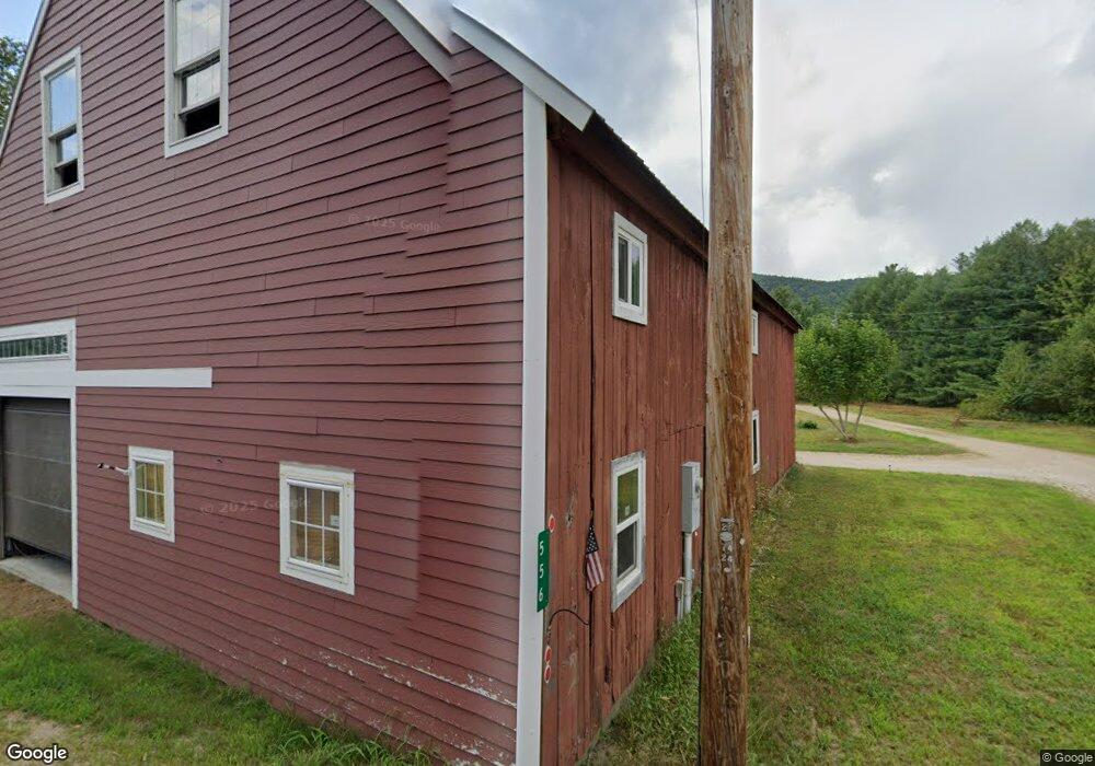
556 Whittier Rd West Ossipee, NH 03890
Estimated Value: $384,828 - $464,000
2
Beds
1
Bath
967
Sq Ft
$424/Sq Ft
Est. Value
About This Home
This home is located at 556 Whittier Rd, West Ossipee, NH 03890 and is currently estimated at $409,957, approximately $423 per square foot. 556 Whittier Rd is a home with nearby schools including Kenneth A. Brett School, Bear Camp Valley School, and The Community School.
Ownership History
Date
Name
Owned For
Owner Type
Purchase Details
Closed on
Nov 10, 2009
Sold by
Vma Property Holdings
Bought by
Devan Karl W and Devan Nancy S
Current Estimated Value
Purchase Details
Closed on
Mar 13, 2009
Sold by
Deutsche Bk Natl T Co
Bought by
Vma Property Holdings
Purchase Details
Closed on
Jan 16, 2009
Sold by
Ramsey Brett A
Bought by
Deutsche Bk Natl T Co
Create a Home Valuation Report for This Property
The Home Valuation Report is an in-depth analysis detailing your home's value as well as a comparison with similar homes in the area
Home Values in the Area
Average Home Value in this Area
Purchase History
| Date | Buyer | Sale Price | Title Company |
|---|---|---|---|
| Devan Karl W | $158,000 | -- | |
| Vma Property Holdings | $120,000 | -- | |
| Deutsche Bk Natl T Co | $136,000 | -- |
Source: Public Records
Tax History Compared to Growth
Tax History
| Year | Tax Paid | Tax Assessment Tax Assessment Total Assessment is a certain percentage of the fair market value that is determined by local assessors to be the total taxable value of land and additions on the property. | Land | Improvement |
|---|---|---|---|---|
| 2024 | $3,922 | $271,776 | $81,876 | $189,900 |
| 2023 | $3,952 | $156,627 | $51,827 | $104,800 |
| 2022 | $3,731 | $156,980 | $52,180 | $104,800 |
| 2021 | $3,502 | $158,184 | $52,984 | $105,200 |
| 2020 | $151 | $158,242 | $53,042 | $105,200 |
| 2019 | $157 | $158,242 | $53,042 | $105,200 |
| 2018 | $3,376 | $146,416 | $31,416 | $115,000 |
| 2017 | $2,185 | $146,916 | $31,416 | $115,500 |
| 2016 | $145 | $148,143 | $31,343 | $116,800 |
| 2015 | $3,385 | $148,143 | $31,343 | $116,800 |
| 2013 | $3,083 | $154,161 | $36,361 | $117,800 |
Source: Public Records
Map
Nearby Homes
- Map 206 Lot 28 Whittier Rd
- 255 Summit View Dr
- 23 Summit View Dr
- 190 Whittier Rd
- 96 Bryant Mill Rd
- 137 Durrell Rd
- 4 Whittier Rd
- 527 Tamworth Rd
- 27 Butternut Ln
- 515 Hollow Hill Rd
- 83 Tamworth Rd
- 85 Main St Unit 2
- 55 Hollow Hill Rd
- 10 Margo Ln
- 1785 White Mountain Hwy
- 0 Poco Dr Unit 5067927
- 24 Flynn Ln
- 51 Poco Dr
- 80 Elliot Ln
- 13 Mill Rd
- 577 Whittier Rd
- 578 Whittier Rd
- 514 Whittier Rd
- 600 Whittier Rd
- 486 Whittier Rd
- 483 Whittier Rd
- 486 Whittier
- 645 Whittier Rd
- 478 Whittier Rd
- 25 Whittier Rd
- 475 Whittier Rd
- 249 Bryant Rd
- 231 Bryant Rd
- 719 Whittier Rd
- 550 New Hampshire 25
- 721 Whittier Rd
- 508 Ossipee Mountain Highway (Route 25)
- 372 Whittier Rd
- 379 Whittier Rd
- 736 Whittier Rd