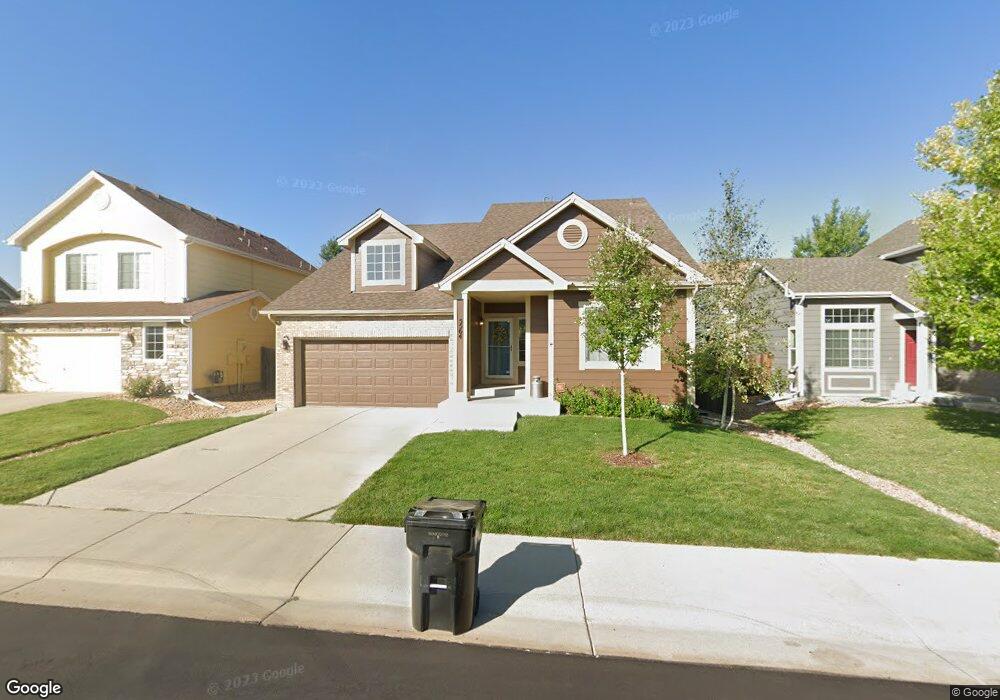
5564 Lost Meadow Trail Castle Rock, CO 80104
Founders Village NeighborhoodEstimated Value: $570,000 - $618,000
3
Beds
2
Baths
3,366
Sq Ft
$177/Sq Ft
Est. Value
About This Home
This home is located at 5564 Lost Meadow Trail, Castle Rock, CO 80104 and is currently estimated at $596,486, approximately $177 per square foot. 5564 Lost Meadow Trail is a home located in Douglas County with nearby schools including Flagstone Elementary School, Mesa Middle School, and Douglas County High School.
Ownership History
Date
Name
Owned For
Owner Type
Purchase Details
Closed on
Oct 31, 2024
Sold by
Lawyer James A and Lawyer Linda N
Bought by
Jl Lawyer Family Revocable Trust and Lawyer
Current Estimated Value
Purchase Details
Closed on
Jun 9, 2017
Sold by
Collins Brenda J and Collins James P
Bought by
Lawyer James A and Lawyer Linda N
Purchase Details
Closed on
Sep 30, 2005
Sold by
The Elisa Mortinger Trust
Bought by
Collins Brenda J and Collins James P
Home Financials for this Owner
Home Financials are based on the most recent Mortgage that was taken out on this home.
Original Mortgage
$285,004
Interest Rate
5.76%
Mortgage Type
VA
Purchase Details
Closed on
May 30, 2003
Sold by
Engle Homes/Colorado Inc
Bought by
The Elisa Mortinger Trust
Create a Home Valuation Report for This Property
The Home Valuation Report is an in-depth analysis detailing your home's value as well as a comparison with similar homes in the area
Home Values in the Area
Average Home Value in this Area
Purchase History
| Date | Buyer | Sale Price | Title Company |
|---|---|---|---|
| Jl Lawyer Family Revocable Trust | -- | None Listed On Document | |
| Jl Lawyer Family Revocable Trust | -- | None Listed On Document | |
| Lawyer James A | $385,000 | None Available | |
| Collins Brenda J | $275,900 | Land Title | |
| The Elisa Mortinger Trust | $244,000 | Universal Land Title Co Inc |
Source: Public Records
Mortgage History
| Date | Status | Borrower | Loan Amount |
|---|---|---|---|
| Previous Owner | Collins Brenda J | $285,004 |
Source: Public Records
Tax History Compared to Growth
Tax History
| Year | Tax Paid | Tax Assessment Tax Assessment Total Assessment is a certain percentage of the fair market value that is determined by local assessors to be the total taxable value of land and additions on the property. | Land | Improvement |
|---|---|---|---|---|
| 2024 | $5,999 | $40,200 | $8,500 | $31,700 |
| 2023 | $6,034 | $40,200 | $8,500 | $31,700 |
| 2022 | $4,462 | $28,180 | $6,270 | $21,910 |
| 2021 | $4,545 | $28,180 | $6,270 | $21,910 |
| 2020 | $4,352 | $27,780 | $5,280 | $22,500 |
| 2019 | $4,355 | $27,780 | $5,280 | $22,500 |
| 2018 | $3,969 | $25,130 | $4,080 | $21,050 |
| 2017 | $3,821 | $25,130 | $4,080 | $21,050 |
| 2016 | $3,201 | $21,980 | $3,950 | $18,030 |
| 2015 | $3,242 | $21,980 | $3,950 | $18,030 |
| 2014 | $2,799 | $18,220 | $3,420 | $14,800 |
Source: Public Records
Map
Nearby Homes
- 157 S Quicksilver Ave
- 5282 Devon Ave
- 109 N Quicksilver Ave
- 5323 E Sandpiper Ave
- 5181 Devon Ave
- 5864 Turnstone Place
- 176 S Pembrook St
- 5931 Wescroft Ave
- 5326 E Howe St
- 596 S Lindsey St
- 364 N Willow St
- 330 N Wagonwheel Trail
- 510 Fairhaven St
- 5521 Spruce Ave
- 630 Fairhaven St
- 6110 Raleigh Cir
- 5617 E Prescott Ave
- 5230 E Kensington Ave
- 535 Howe St
- 5839 Raleigh Cir
- 5548 Lost Meadow Trail
- 5576 Lost Meadow Trail
- 206 S Cherry St
- 188 S Cherry St
- 5532 Lost Meadow Trail
- 164 S Cherry St
- 230 S Cherry St
- 5563 Lost Meadow Trail
- 5575 Lost Meadow Trail
- 246 Laramie Ct
- 228 Laramie Ct
- 140 S Cherry St
- 5535 Lost Meadow Trail
- 262 Laramie Ct
- 214 Laramie Ct
- 227 S Cherry St
- 198 Laramie Ct
- 278 Laramie Ct
- 205 S Cherry St
- 147 Laramie Ct