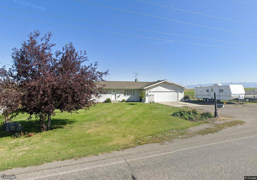
5565 W Cameron Bridge Rd Manhattan, MT 59741
Estimated Value: $574,000 - $602,000
3
Beds
2
Baths
1,392
Sq Ft
$421/Sq Ft
Est. Value
About This Home
This home is located at 5565 W Cameron Bridge Rd, Manhattan, MT 59741 and is currently estimated at $585,950, approximately $420 per square foot. 5565 W Cameron Bridge Rd is a home located in Gallatin County with nearby schools including Amsterdam School, Manhattan High School, and Manhattan Christian School.
Ownership History
Date
Name
Owned For
Owner Type
Purchase Details
Closed on
Aug 28, 2015
Sold by
Moss Andrew G and Moss Darlene F
Bought by
Kimm Jonathan Scott
Current Estimated Value
Home Financials for this Owner
Home Financials are based on the most recent Mortgage that was taken out on this home.
Original Mortgage
$184,000
Outstanding Balance
$145,207
Interest Rate
4.05%
Mortgage Type
New Conventional
Estimated Equity
$440,743
Create a Home Valuation Report for This Property
The Home Valuation Report is an in-depth analysis detailing your home's value as well as a comparison with similar homes in the area
Home Values in the Area
Average Home Value in this Area
Purchase History
| Date | Buyer | Sale Price | Title Company |
|---|---|---|---|
| Kimm Jonathan Scott | -- | Security Title Company |
Source: Public Records
Mortgage History
| Date | Status | Borrower | Loan Amount |
|---|---|---|---|
| Open | Kimm Jonathan Scott | $184,000 |
Source: Public Records
Tax History Compared to Growth
Tax History
| Year | Tax Paid | Tax Assessment Tax Assessment Total Assessment is a certain percentage of the fair market value that is determined by local assessors to be the total taxable value of land and additions on the property. | Land | Improvement |
|---|---|---|---|---|
| 2025 | $1,917 | $542,300 | $0 | $0 |
| 2024 | $2,708 | $487,500 | $0 | $0 |
| 2023 | $2,614 | $487,500 | $0 | $0 |
| 2022 | $2,285 | $330,900 | $0 | $0 |
| 2021 | $2,480 | $330,900 | $0 | $0 |
| 2020 | $2,100 | $276,800 | $0 | $0 |
| 2019 | $2,137 | $276,800 | $0 | $0 |
| 2018 | $1,974 | $232,100 | $0 | $0 |
| 2017 | $1,974 | $232,100 | $0 | $0 |
| 2016 | $2,117 | $245,400 | $0 | $0 |
| 2015 | $1,862 | $221,000 | $0 | $0 |
| 2014 | $1,875 | $140,662 | $0 | $0 |
Source: Public Records
Map
Nearby Homes
- 5585 W Cameron Bridge Rd
- 6040 Pearl Dr
- TBD Deville St
- 8005 Churchill Rd
- Tract 4 (46 Acres) Churchill Rd
- Tract 5 (82 Acres) Churchill Rd
- Tract 3 (38 Acres) Churchill Rd
- NHN Cushing Ln
- 265 Cushing Ln
- tbd Camp Creek Rd
- 478 Pacer Landing
- 8560 Camp Creek Rd
- 8555 Camp Creek Rd
- 3455 Linney Rd
- 4533 Linney Rd Unit 4565 + 4455
- 3325 W Cedar Meadows Ln
- 164 Wapiti Way
- 3185 W Cedar Meadows Ln
- 4752 Eden Rd
- 2490 E Cedar Meadows Ln
- 5600 W Cameron Bridge Rd
- 6289 Pearl Dr
- 8455 Churchill Rd
- 6251 Pearl Dr
- 8670 Churchill Rd
- 8383 Churchill Rd
- 5317 W Cameron Bridge Rd
- 8300 Churchill Rd
- 6177 Pearl Dr
- 6159 Pearl Dr
- TBD Pearl Dr
- 62 S Mission Way
- 69 S Mission Way
- 8685 Churchill Rd
- 5277 W Cameron Bridge Rd
- 6270 Shady Rest St
- 6140 Pearl Dr
- 38 S Mission Way
- 8715 Churchill Rd
- 8715 Churchill Rd