5567 Bristol Ln Hopkins, MN 55343
Estimated Value: $908,000 - $1,075,000
3
Beds
3
Baths
2,293
Sq Ft
$425/Sq Ft
Est. Value
About This Home
This home is located at 5567 Bristol Ln, Hopkins, MN 55343 and is currently estimated at $973,791, approximately $424 per square foot. 5567 Bristol Ln is a home located in Hennepin County with nearby schools including Gatewood Elementary School, Hopkins West Junior High School, and Hopkins Senior High School.
Ownership History
Date
Name
Owned For
Owner Type
Purchase Details
Closed on
Feb 17, 2023
Sold by
Kennedy Michael L and Kennedy Emilie M
Bought by
Michael L Kennedy And Emilie M Kennedy Trust
Current Estimated Value
Purchase Details
Closed on
Feb 13, 2023
Sold by
Kennedy Michael L and Kennedy Emilie M
Bought by
Michael L Kennedy And Emilie M Kennedy Trust
Purchase Details
Closed on
Sep 1, 2016
Sold by
Koenecke Ted L and Koenecke Mary
Bought by
Kennedy Michael L and Kennedy Emilie M
Home Financials for this Owner
Home Financials are based on the most recent Mortgage that was taken out on this home.
Original Mortgage
$552,000
Interest Rate
3.45%
Mortgage Type
New Conventional
Purchase Details
Closed on
May 30, 1997
Sold by
Cohen Howard S and Cohen Ethelyn F
Bought by
Koenecke Ted L and Pederson Mary E
Create a Home Valuation Report for This Property
The Home Valuation Report is an in-depth analysis detailing your home's value as well as a comparison with similar homes in the area
Home Values in the Area
Average Home Value in this Area
Purchase History
| Date | Buyer | Sale Price | Title Company |
|---|---|---|---|
| Michael L Kennedy And Emilie M Kennedy Trust | $500 | -- | |
| Michael L Kennedy And Emilie M Kennedy Trust | $500 | None Listed On Document | |
| Michael L Kennedy And Emilie M Kennedy Trust | $500 | None Listed On Document | |
| Kennedy Michael L | $690,000 | Burnet Title | |
| Koenecke Ted L | $549,000 | -- |
Source: Public Records
Mortgage History
| Date | Status | Borrower | Loan Amount |
|---|---|---|---|
| Previous Owner | Kennedy Michael L | $552,000 |
Source: Public Records
Tax History Compared to Growth
Tax History
| Year | Tax Paid | Tax Assessment Tax Assessment Total Assessment is a certain percentage of the fair market value that is determined by local assessors to be the total taxable value of land and additions on the property. | Land | Improvement |
|---|---|---|---|---|
| 2024 | $11,517 | $859,900 | $213,400 | $646,500 |
| 2023 | $11,303 | $874,700 | $213,400 | $661,300 |
| 2022 | $9,493 | $810,400 | $213,400 | $597,000 |
| 2021 | $9,707 | $710,100 | $194,000 | $516,100 |
| 2020 | $9,222 | $731,900 | $194,000 | $537,900 |
| 2019 | $8,794 | $668,100 | $194,000 | $474,100 |
| 2018 | $9,125 | $646,100 | $194,000 | $452,100 |
| 2017 | $8,842 | $622,100 | $162,700 | $459,400 |
| 2016 | $8,788 | $603,400 | $169,900 | $433,500 |
| 2015 | $9,200 | $614,600 | $150,000 | $464,600 |
| 2014 | -- | $580,600 | $150,000 | $430,600 |
Source: Public Records
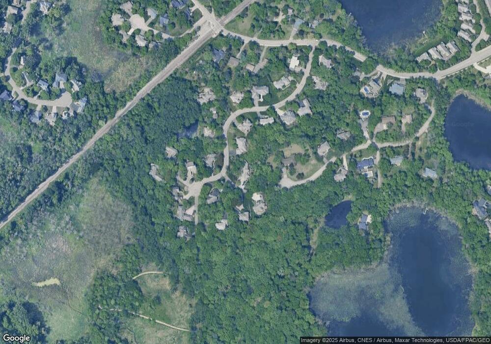
Map
Nearby Homes
- 5427 Butternut Cir
- 5470 Rowland Rd
- 5742 Shady Oak Rd S Unit 7
- 5348 Beachside Dr
- 5340 Beachside Dr
- 5501 Pompano Dr
- 5500 Rowland Rd
- 5627 Pompano Dr
- 5621 Pompano Dr
- 5038 Dominick Spur
- 6020 Chasewood Pkwy Unit 203
- 5998 Chasewood Pkwy Unit 1
- 11413 Bren Rd
- 11409 Bren Rd
- 6048 Chasewood Pkwy Unit 204
- 6155 Chasewood Pkwy Unit 201
- 11444 Clarion Way
- 5901 Abbott Place
- 4838 Diane Dr
- 5923 Abbott Ct
- 5559 Bristol Ln
- 5579 Bristol Ln
- 5571 Bristol Ln
- 5568 Bristol Ln
- 5551 Bristol Ln
- 5575 Bristol Ln
- 5543 Bristol Ln
- 12016 Douglynn Dr
- 5576 Bristol Ln
- 5560 Bristol Ln
- 5587 Bristol Ln
- 5552 Bristol Ln
- 5535 Bristol Ln
- 5584 Bristol Ln
- 5600 Bristol Ln
- 5595 Bristol Ln
- 5536 Bristol Ln
- 5591 Bristol Ln
- 12000 Douglynn Dr
- 5528 Bristol Ln