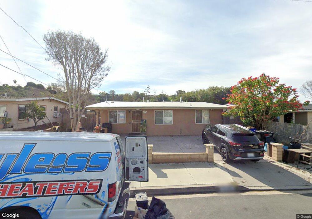
5567 Michael St San Diego, CA 92105
Estimated Value: $797,283 - $1,064,000
4
Beds
3
Baths
1,784
Sq Ft
$499/Sq Ft
Est. Value
About This Home
This home is located at 5567 Michael St, San Diego, CA 92105 and is currently estimated at $890,821, approximately $499 per square foot. 5567 Michael St is a home located in San Diego County with nearby schools including Carver Elementary School, Mann Middle School, and Crawford High School.
Ownership History
Date
Name
Owned For
Owner Type
Purchase Details
Closed on
Jul 14, 1997
Sold by
Ann Sabransky Cynthia
Bought by
Flores Ricardo and Flores Veronica
Current Estimated Value
Home Financials for this Owner
Home Financials are based on the most recent Mortgage that was taken out on this home.
Original Mortgage
$85,100
Interest Rate
7.43%
Create a Home Valuation Report for This Property
The Home Valuation Report is an in-depth analysis detailing your home's value as well as a comparison with similar homes in the area
Home Values in the Area
Average Home Value in this Area
Purchase History
| Date | Buyer | Sale Price | Title Company |
|---|---|---|---|
| Flores Ricardo | $113,500 | Chicago Title Co |
Source: Public Records
Mortgage History
| Date | Status | Borrower | Loan Amount |
|---|---|---|---|
| Previous Owner | Flores Ricardo | $85,100 |
Source: Public Records
Tax History Compared to Growth
Tax History
| Year | Tax Paid | Tax Assessment Tax Assessment Total Assessment is a certain percentage of the fair market value that is determined by local assessors to be the total taxable value of land and additions on the property. | Land | Improvement |
|---|---|---|---|---|
| 2025 | $3,780 | $311,027 | $157,506 | $153,521 |
| 2024 | $3,780 | $304,929 | $154,418 | $150,511 |
| 2023 | $3,696 | $298,951 | $151,391 | $147,560 |
| 2022 | $3,598 | $293,090 | $148,423 | $144,667 |
| 2021 | $3,573 | $287,344 | $145,513 | $141,831 |
| 2020 | $3,530 | $284,398 | $144,021 | $140,377 |
| 2019 | $3,468 | $278,823 | $141,198 | $137,625 |
| 2018 | $3,243 | $273,357 | $138,430 | $134,927 |
| 2017 | $3,166 | $267,998 | $135,716 | $132,282 |
| 2016 | $3,115 | $262,744 | $133,055 | $129,689 |
| 2015 | $3,069 | $258,798 | $131,057 | $127,741 |
| 2014 | $3,022 | $253,729 | $128,490 | $125,239 |
Source: Public Records
Map
Nearby Homes
- 5566 Streamview Dr
- 5610 Streamview Dr
- 5474 Streamview Dr
- 3416 Winlow St
- 5757 Streamview Dr
- 5763 Streamview Dr
- 5426 Dwight St
- 5700 Bates St Unit 6
- 5506 University Ave
- 3980 Faircross Place Unit 32
- 3980 Faircross Place Unit 11
- 3955 Faircross Place Unit 60
- 3955 Faircross Place Unit 78
- 5341 Rex Ave
- 3428 Robin St
- 5985 Dandridge Ln Unit 103
- 3930 60th St Unit 171
- 3934 60th St Unit 158
- 5310 Rex Ave Unit 1
- 5980 Dandridge Ln Unit 215
- 5561 Michael St
- 5575 Michael St
- 5555 Michael St
- 5583 Michael St
- 5560 Streamview Dr
- 5572 Streamview Dr
- 5554 Streamview Dr
- 5566 Michael St
- 5580 Streamview Dr
- 5576 Michael St
- 5547 Michael St
- 5560 Michael St
- 5584 Michael St
- 5554 Michael St
- 5548 Streamview Dr
- 5541 Michael St
- 5590 Michael St
- 5548 Michael St
- 5603 Michael St
- 5542 Streamview Dr