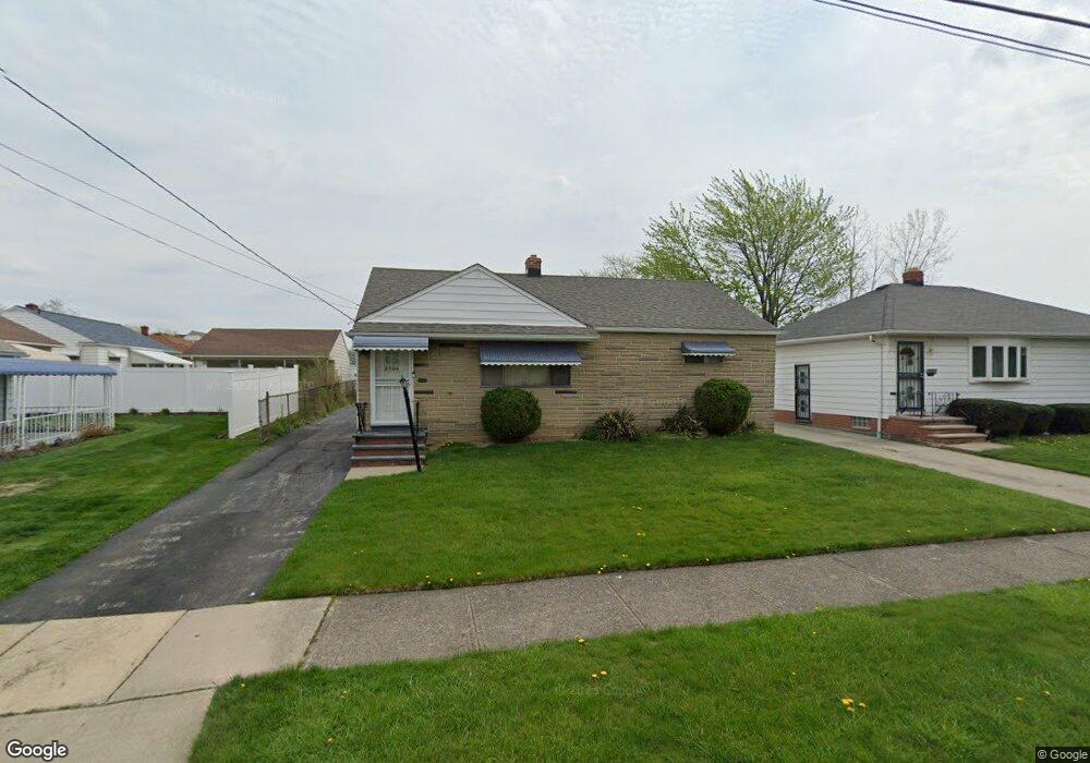
5569 Sunnyslope Rd Maple Heights, OH 44137
Estimated Value: $111,000 - $141,963
3
Beds
2
Baths
962
Sq Ft
$135/Sq Ft
Est. Value
About This Home
This home is located at 5569 Sunnyslope Rd, Maple Heights, OH 44137 and is currently estimated at $129,491, approximately $134 per square foot. 5569 Sunnyslope Rd is a home located in Cuyahoga County with nearby schools including Abraham Lincoln Elementary School, Rockside/ J.F. Kennedy School, and Barack Obama School.
Ownership History
Date
Name
Owned For
Owner Type
Purchase Details
Closed on
Oct 26, 2018
Sold by
Dave Lee E
Bought by
Dave Lee E and Dave Latrice
Current Estimated Value
Purchase Details
Closed on
Oct 12, 2016
Sold by
Harrell Diana
Bought by
Dave Lee E
Purchase Details
Closed on
Feb 21, 2008
Sold by
Vanek Diane J
Bought by
Harrell Diana
Home Financials for this Owner
Home Financials are based on the most recent Mortgage that was taken out on this home.
Original Mortgage
$56,000
Interest Rate
5%
Mortgage Type
Commercial
Purchase Details
Closed on
Jan 1, 1975
Bought by
Vanek Diane J
Create a Home Valuation Report for This Property
The Home Valuation Report is an in-depth analysis detailing your home's value as well as a comparison with similar homes in the area
Home Values in the Area
Average Home Value in this Area
Purchase History
| Date | Buyer | Sale Price | Title Company |
|---|---|---|---|
| Dave Lee E | -- | None Available | |
| Dave Lee E | $50,000 | Guardian Title | |
| Harrell Diana | $30,000 | Ohio Title Corp | |
| Vanek Diane J | -- | -- |
Source: Public Records
Mortgage History
| Date | Status | Borrower | Loan Amount |
|---|---|---|---|
| Previous Owner | Harrell Diana | $56,000 |
Source: Public Records
Tax History Compared to Growth
Tax History
| Year | Tax Paid | Tax Assessment Tax Assessment Total Assessment is a certain percentage of the fair market value that is determined by local assessors to be the total taxable value of land and additions on the property. | Land | Improvement |
|---|---|---|---|---|
| 2024 | $3,919 | $42,945 | $7,980 | $34,965 |
| 2023 | $3,060 | $28,740 | $5,250 | $23,490 |
| 2022 | $3,049 | $28,740 | $5,250 | $23,490 |
| 2021 | $3,258 | $28,740 | $5,250 | $23,490 |
| 2020 | $2,770 | $21,770 | $3,990 | $17,780 |
| 2019 | $2,757 | $62,200 | $11,400 | $50,800 |
| 2018 | $2,704 | $21,770 | $3,990 | $17,780 |
| 2017 | $2,864 | $22,370 | $3,960 | $18,410 |
| 2016 | $2,770 | $22,370 | $3,960 | $18,410 |
| 2015 | $2,666 | $22,370 | $3,960 | $18,410 |
| 2014 | $2,793 | $24,570 | $4,340 | $20,230 |
Source: Public Records
Map
Nearby Homes
- 20739 Donny Brook Rd
- 20620 Donny Brook Rd
- 20634 Centuryway Rd
- 20750 Bowling Green Rd
- 20625 Centuryway Rd
- 54 Willard Ave
- 62 Willard Ave
- 179 Willard Ave
- 66 Hubbell Way
- 62 Hubbell Way
- 58 Hubbell Way
- 54 Hubbell Way
- 0 Hubbell Cir
- 61 Hubbell Way
- 57 Hubbell Way
- 377 Hubbell Cir
- 20716 Kenyon Dr
- 19812 Stockton Ave
- 95 Noran Cir
- 5301 Mardale Ave
- 5573 Sunnyslope Rd
- 20700 Donny Brook Rd
- 20696 Donny Brook Rd
- 20704 Donny Brook Rd
- 20708 Donny Brook Rd
- 20712 Donny Brook Rd
- 20688 Donny Brook Rd
- 20716 Donny Brook Rd
- 5570 Sunnyslope Rd
- 5574 Sunnyslope Rd
- 20684 Donny Brook Rd
- 20720 Donny Brook Rd
- 20699 Donny Brook Rd
- 20695 Donny Brook Rd
- 20680 Donny Brook Rd
- 20703 Donny Brook Rd
- 20707 Donny Brook Rd
- 20724 Donny Brook Rd
- 20676 Donny Brook Rd
- 20687 Donny Brook Rd