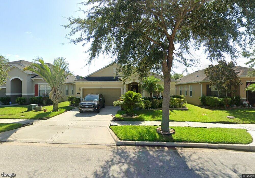
557 Aeolian Dr New Smyrna Beach, FL 32168
Sugar Mill NeighborhoodEstimated Value: $320,573 - $369,000
3
Beds
2
Baths
1,988
Sq Ft
$174/Sq Ft
Est. Value
About This Home
This home is located at 557 Aeolian Dr, New Smyrna Beach, FL 32168 and is currently estimated at $345,893, approximately $173 per square foot. 557 Aeolian Dr is a home located in Volusia County with nearby schools including Read-Pattillo Elementary School, New Smyrna Beach Middle School, and New Smyrna Beach High School.
Ownership History
Date
Name
Owned For
Owner Type
Purchase Details
Closed on
Sep 25, 2008
Sold by
Kb Home Gold Coast Llc
Bought by
Perotti Larry and Perotti Pamela
Current Estimated Value
Home Financials for this Owner
Home Financials are based on the most recent Mortgage that was taken out on this home.
Original Mortgage
$148,741
Outstanding Balance
$99,194
Interest Rate
6.49%
Mortgage Type
Purchase Money Mortgage
Estimated Equity
$246,699
Create a Home Valuation Report for This Property
The Home Valuation Report is an in-depth analysis detailing your home's value as well as a comparison with similar homes in the area
Home Values in the Area
Average Home Value in this Area
Purchase History
| Date | Buyer | Sale Price | Title Company |
|---|---|---|---|
| Perotti Larry | $185,927 | First American Title Ins Co |
Source: Public Records
Mortgage History
| Date | Status | Borrower | Loan Amount |
|---|---|---|---|
| Open | Perotti Larry | $148,741 |
Source: Public Records
Tax History Compared to Growth
Tax History
| Year | Tax Paid | Tax Assessment Tax Assessment Total Assessment is a certain percentage of the fair market value that is determined by local assessors to be the total taxable value of land and additions on the property. | Land | Improvement |
|---|---|---|---|---|
| 2025 | $2,062 | $160,971 | -- | -- |
| 2024 | $1,974 | $156,435 | -- | -- |
| 2023 | $1,974 | $151,879 | $0 | $0 |
| 2022 | $1,878 | $147,455 | $0 | $0 |
| 2021 | $1,893 | $143,160 | $0 | $0 |
| 2020 | $1,864 | $141,183 | $0 | $0 |
| 2019 | $1,872 | $138,009 | $0 | $0 |
| 2018 | $1,859 | $135,436 | $0 | $0 |
| 2017 | $1,862 | $132,650 | $0 | $0 |
| 2016 | $1,926 | $129,922 | $0 | $0 |
| 2015 | $1,982 | $129,019 | $0 | $0 |
| 2014 | $1,989 | $127,995 | $0 | $0 |
Source: Public Records
Map
Nearby Homes
- 2707 Atlantis Dr
- 2822 Blue Shores Way
- 602 Mount Olympus Blvd
- 390 Sugar Mill Dr
- 573 Mount Olympus Blvd
- 3073 Gibraltar Blvd
- 537 White Coral Ln
- 3009 Neverland Dr
- 442 Pink Coral Ln
- 3063 Neverland Dr
- 3022 Nova Scotia Way
- 461 White Coral Ln
- 3035 Nova Scotia Way
- 2655 Star Coral Ln
- 448 White Coral Ln
- 484 Sweet Bay Ave
- 740 Grape Ivy Ln
- 2824 Neverland Dr
- 3167 Crab Trap Dr
- 3150 Crab Trap Dr
- 559 Aeolian Dr
- 555 Aeolian Dr
- 561 Aeolian Dr
- 553 Aeolian Dr
- 563 Aeolian Dr
- 551 Aeolian Dr
- 558 Aeolian Dr
- 556 Aeolian Dr
- 554 Aeolian Dr
- 560 Aeolian Dr
- 562 Aeolian Dr
- 552 Aeolian Dr
- 565 Aeolian Dr
- 549 Aeolian Dr
- 564 Aeolian Dr
- 550 Aeolian Dr
- 2709 Atlantis Dr
- 567 Aeolian Dr
- 547 Aeolian Dr
- 2711 Atlantis Dr