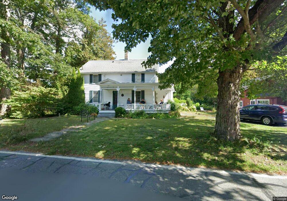
557 Riverside Dr Unit 1060 Florence, MA 01062
Florence NeighborhoodEstimated Value: $438,000 - $548,000
3
Beds
2
Baths
1,556
Sq Ft
$328/Sq Ft
Est. Value
About This Home
This home is located at 557 Riverside Dr Unit 1060, Florence, MA 01062 and is currently estimated at $510,257, approximately $327 per square foot. 557 Riverside Dr Unit 1060 is a home located in Hampshire County with nearby schools including Northampton High School, The Montessori School of Northampton, and Campus School of Smith College.
Ownership History
Date
Name
Owned For
Owner Type
Purchase Details
Closed on
Jun 29, 2007
Sold by
Simpson Rachel
Bought by
Butterworth Larson Carl Winston and Butterworth Larson Sue
Current Estimated Value
Home Financials for this Owner
Home Financials are based on the most recent Mortgage that was taken out on this home.
Original Mortgage
$150,000
Interest Rate
6.24%
Mortgage Type
Purchase Money Mortgage
Purchase Details
Closed on
Dec 16, 1999
Sold by
Connaughton Gary F and Omalley Faye R
Bought by
Pease Kenneth S
Home Financials for this Owner
Home Financials are based on the most recent Mortgage that was taken out on this home.
Original Mortgage
$100,000
Interest Rate
7.81%
Mortgage Type
Purchase Money Mortgage
Create a Home Valuation Report for This Property
The Home Valuation Report is an in-depth analysis detailing your home's value as well as a comparison with similar homes in the area
Home Values in the Area
Average Home Value in this Area
Purchase History
| Date | Buyer | Sale Price | Title Company |
|---|---|---|---|
| Butterworth Larson Carl Winston | $295,000 | -- | |
| Pease Kenneth S | $130,000 | -- |
Source: Public Records
Mortgage History
| Date | Status | Borrower | Loan Amount |
|---|---|---|---|
| Open | Pease Kenneth S | $190,000 | |
| Closed | Pease Kenneth S | $30,000 | |
| Closed | Butterworth Larson Carl Winston | $150,000 | |
| Previous Owner | Pease Kenneth S | $100,000 |
Source: Public Records
Tax History Compared to Growth
Tax History
| Year | Tax Paid | Tax Assessment Tax Assessment Total Assessment is a certain percentage of the fair market value that is determined by local assessors to be the total taxable value of land and additions on the property. | Land | Improvement |
|---|---|---|---|---|
| 2025 | $6,298 | $452,100 | $123,200 | $328,900 |
| 2024 | $5,769 | $379,800 | $123,200 | $256,600 |
| 2023 | $5,877 | $371,000 | $111,900 | $259,100 |
| 2022 | $5,342 | $298,600 | $111,900 | $186,700 |
| 2021 | $4,631 | $266,600 | $106,900 | $159,700 |
| 2020 | $4,479 | $266,600 | $106,900 | $159,700 |
| 2019 | $4,452 | $256,300 | $106,900 | $149,400 |
| 2018 | $4,507 | $264,500 | $106,900 | $157,600 |
| 2017 | $4,415 | $264,500 | $106,900 | $157,600 |
| 2016 | $4,274 | $264,500 | $106,900 | $157,600 |
| 2015 | $4,170 | $263,900 | $106,900 | $157,000 |
| 2014 | $4,061 | $263,900 | $106,900 | $157,000 |
Source: Public Records
Map
Nearby Homes
- 36 Landy Ave
- 37 Landy Ave
- 225 Nonotuck St Unit C
- 152 S Main St Unit 8
- 152 S Main St Unit 4
- 76 Maple St
- 67 Park St Unit A
- 67 Park St Unit B
- 67 Park St Unit D
- 325 Riverside Dr
- 11 Norwood Ave
- 321 Riverside Dr
- 84 N Main St
- 63 Riverside Dr
- 269 Ryan Rd
- 0 Terrace Ln
- 61 Woodlawn Ave
- 138 Overlook Dr
- 100 Emerson Way
- 14 Arlington St
- 557 Riverside Dr
- 565 Riverside Dr
- 543 Riverside Dr
- 569 Riverside Dr
- 541 Riverside Dr
- 579 Riverside Dr
- 545 Riverside Dr
- 591 Riverside Dr
- 589 Riverside Dr
- 517 Riverside Dr
- 597 Riverside Dr
- 509 Riverside Dr
- 54 Landy Ave
- 54A Landy Ave
- 503 Riverside Dr
- 44 Landy Ave
- 611 Riverside Dr
- 40 Landy Ave
- 615 Riverside Dr
- 128 Nonotuck St