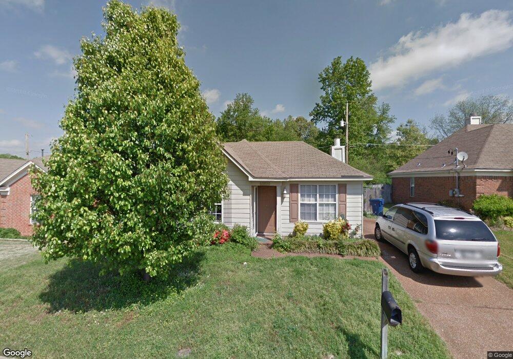
5572 Dedo Cir Memphis, TN 38135
Estimated Value: $176,000 - $183,624
3
Beds
2
Baths
1,044
Sq Ft
$173/Sq Ft
Est. Value
About This Home
This home is located at 5572 Dedo Cir, Memphis, TN 38135 and is currently estimated at $180,406, approximately $172 per square foot. 5572 Dedo Cir is a home located in Shelby County with nearby schools including Dexter Elementary School, Dexter Middle School, and Bolton High School.
Ownership History
Date
Name
Owned For
Owner Type
Purchase Details
Closed on
Jun 8, 2005
Sold by
Reyle Forrest L
Bought by
Brown Lawrence E and Brown Lori
Current Estimated Value
Home Financials for this Owner
Home Financials are based on the most recent Mortgage that was taken out on this home.
Original Mortgage
$93,005
Outstanding Balance
$48,241
Interest Rate
5.66%
Mortgage Type
Fannie Mae Freddie Mac
Estimated Equity
$132,165
Purchase Details
Closed on
Jun 8, 2001
Sold by
Bailey Andrea M
Bought by
Hud
Create a Home Valuation Report for This Property
The Home Valuation Report is an in-depth analysis detailing your home's value as well as a comparison with similar homes in the area
Home Values in the Area
Average Home Value in this Area
Purchase History
| Date | Buyer | Sale Price | Title Company |
|---|---|---|---|
| Brown Lawrence E | $97,900 | -- | |
| Hud | $74,998 | -- |
Source: Public Records
Mortgage History
| Date | Status | Borrower | Loan Amount |
|---|---|---|---|
| Open | Brown Lawrence E | $93,005 |
Source: Public Records
Tax History Compared to Growth
Tax History
| Year | Tax Paid | Tax Assessment Tax Assessment Total Assessment is a certain percentage of the fair market value that is determined by local assessors to be the total taxable value of land and additions on the property. | Land | Improvement |
|---|---|---|---|---|
| 2025 | $927 | $41,675 | $9,000 | $32,675 |
| 2024 | $927 | $27,350 | $6,250 | $21,100 |
| 2023 | $927 | $27,350 | $6,250 | $21,100 |
| 2022 | $927 | $27,350 | $6,250 | $21,100 |
| 2021 | $944 | $27,350 | $6,250 | $21,100 |
| 2020 | $830 | $20,500 | $5,825 | $14,675 |
| 2019 | $830 | $20,500 | $5,825 | $14,675 |
| 2018 | $830 | $20,500 | $5,825 | $14,675 |
| 2017 | $843 | $20,500 | $5,825 | $14,675 |
| 2016 | $917 | $20,975 | $0 | $0 |
| 2014 | $917 | $20,975 | $0 | $0 |
Source: Public Records
Map
Nearby Homes
- 0 Angelace Cove Unit 10202185
- 5595 Oak Branch Cir N
- 5715 Richburg Ave
- 0 Old Brownsville Rd Unit 10200539
- 4258 Old Brownsville Rd
- 3906 Sundale Way W
- 5748 Spring Lake Rd
- 3781 Clarion Dr
- 3765 Clarion Dr
- 3756 Old Brownsville Rd
- 5321 Maiden Grass Dr
- 5798 N Sunset Point
- 4349 Cedar Hills Rd
- 6045 Willoughby Oak Ln
- 6008 Maher Valley Cove
- 3663 Sunnyside St
- 3831 Westridge Dr
- 4548 Tulip Creek Dr
- 3584 Wythe Rd
- 0 Singleton Park Unit 10193357
- 5580 Dedo Cir
- 5566 Dedo Cir
- 5590 Dedo Cir
- 5577 Dedo Cir
- 4081 Old Brownsville Rd
- 4068 Angelace Dr N
- 5565 Dedo Cir
- 5605 Dedo Cir
- 4072 Angelace Dr N
- 5596 Dedo Cir
- 4082 Angelace Dr N
- 4058 Angelace Dr N
- 5619 Dedo Cir
- 5602 Dedo Cir
- 4090 Angelace Dr N
- 5608 Dedo Cir
- 4050 Angelace Dr N
- 4069 Angelace Dr N
- 5614 Dedo Cir
- 4096 Angelace Dr N