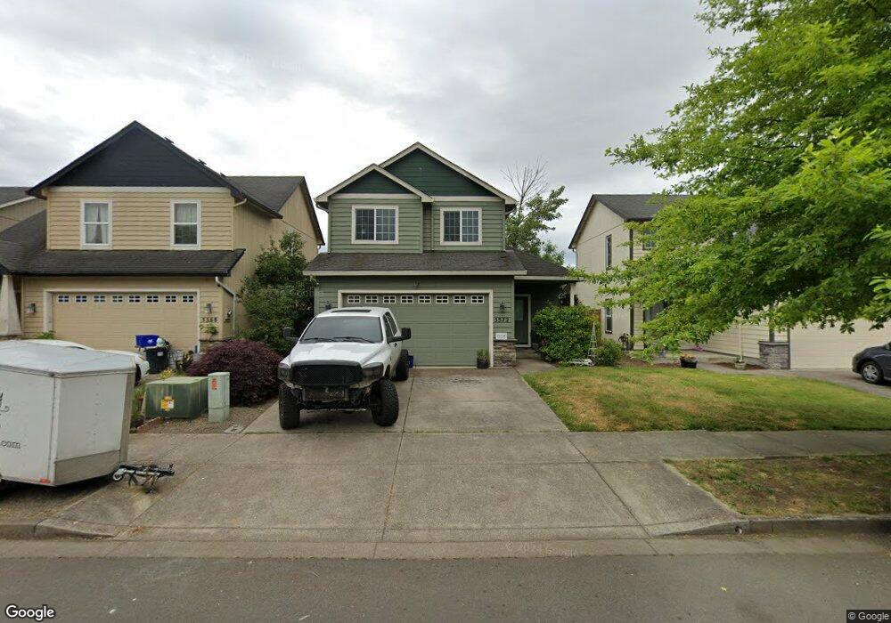
5572 King Arthur Ct Eugene, OR 97402
Bethel NeighborhoodEstimated Value: $391,446 - $427,000
3
Beds
3
Baths
1,550
Sq Ft
$266/Sq Ft
Est. Value
About This Home
This home is located at 5572 King Arthur Ct, Eugene, OR 97402 and is currently estimated at $412,362, approximately $266 per square foot. 5572 King Arthur Ct is a home located in Lane County with nearby schools including Meadow View School and Willamette High School.
Ownership History
Date
Name
Owned For
Owner Type
Purchase Details
Closed on
Jan 8, 2018
Sold by
Read Aaron Michael
Bought by
Read Kevin
Current Estimated Value
Purchase Details
Closed on
Apr 22, 2015
Sold by
Albert Stefanie M and Rimel Stefanie M
Bought by
Read Aaron M
Home Financials for this Owner
Home Financials are based on the most recent Mortgage that was taken out on this home.
Original Mortgage
$206,097
Interest Rate
4.4%
Mortgage Type
FHA
Purchase Details
Closed on
Oct 27, 2005
Sold by
Bh Anderson Construction Inc
Bought by
Rimel Stefanie M
Home Financials for this Owner
Home Financials are based on the most recent Mortgage that was taken out on this home.
Original Mortgage
$164,000
Interest Rate
5.68%
Mortgage Type
Fannie Mae Freddie Mac
Create a Home Valuation Report for This Property
The Home Valuation Report is an in-depth analysis detailing your home's value as well as a comparison with similar homes in the area
Home Values in the Area
Average Home Value in this Area
Purchase History
| Date | Buyer | Sale Price | Title Company |
|---|---|---|---|
| Read Kevin | -- | None Listed On Document | |
| Read Aaron M | $209,900 | Western Title & Escrow Co | |
| Rimel Stefanie M | $205,000 | Western Title & Escrow Compa |
Source: Public Records
Mortgage History
| Date | Status | Borrower | Loan Amount |
|---|---|---|---|
| Previous Owner | Read Aaron M | $206,097 | |
| Previous Owner | Rimel Stefanie M | $164,000 |
Source: Public Records
Tax History
| Year | Tax Paid | Tax Assessment Tax Assessment Total Assessment is a certain percentage of the fair market value that is determined by local assessors to be the total taxable value of land and additions on the property. | Land | Improvement |
|---|---|---|---|---|
| 2025 | $3,463 | $199,093 | -- | -- |
| 2024 | $3,376 | $193,295 | -- | -- |
| 2023 | $3,376 | $187,666 | -- | -- |
| 2022 | $3,142 | $182,200 | $0 | $0 |
| 2021 | $3,076 | $176,894 | $0 | $0 |
| 2020 | $2,986 | $171,742 | $0 | $0 |
| 2019 | $2,840 | $166,740 | $0 | $0 |
| 2018 | $2,760 | $157,169 | $0 | $0 |
| 2017 | $2,638 | $157,169 | $0 | $0 |
| 2016 | $2,571 | $152,591 | $0 | $0 |
| 2015 | $2,520 | $148,147 | $0 | $0 |
| 2014 | -- | $143,832 | $0 | $0 |
Source: Public Records
Map
Nearby Homes
- 5679 Magnificence Way
- 5645 Magnificence Way
- 1915 Heitzman Way
- 5592 Burnett Ave Unit A
- 5592 Burnett Ave Unit B
- 5320 Burke St
- 5276 Olympic Cir
- 5243 Wales Dr
- 5298 Wales Dr
- 5367 Elk Ridge Dr
- 2090 Minnesota St
- 5854 Avalon St
- 958 Legacy St
- 977 Legacy St
- 1280 Reding Ave
- 5410 Donohoe Ave
- 5711 Bainbridge Rd
- 5725 Bainbridge Rd
- 5737 Bainbridge Rd
- 1699 N Terry St Unit 89
- 5586 King Arthur Ct
- 5568 King Arthur Ct
- 5554 King Arthur Ct
- 5594 King Arthur Ct
- 5565 King Arthur Ct
- 5546 King Arthur Ct
- 5571 King Arthur Ct
- 5583 King Arthur Ct
- 14 Heath Drive Dr
- 0 Heath Dr Unit 9000199
- 5553 King Arthur Ct
- 5591 King Arthur Ct
- 5530 King Arthur Ct
- 5543 King Arthur Ct
- 5567 Lancelot Way
- 1790 Heath Dr
- 1794 Heath Dr
- 5575 Lancelot Way
- 5563 Lancelot Way
- 1806 Heath Dr
Your Personal Tour Guide
Ask me questions while you tour the home.