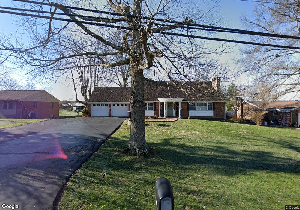
5573 Jessup Rd Cincinnati, OH 45247
White Oak West NeighborhoodEstimated Value: $432,000 - $486,000
4
Beds
3
Baths
3,485
Sq Ft
$132/Sq Ft
Est. Value
About This Home
This home is located at 5573 Jessup Rd, Cincinnati, OH 45247 and is currently estimated at $460,407, approximately $132 per square foot. 5573 Jessup Rd is a home located in Hamilton County with nearby schools including Monfort Heights Elementary School, White Oak Middle School, and Colerain High School.
Ownership History
Date
Name
Owned For
Owner Type
Purchase Details
Closed on
Jun 26, 2003
Sold by
Collins Marian B Trs
Bought by
Ruhe Michael J and Ruhe Margaret A
Current Estimated Value
Purchase Details
Closed on
Nov 1, 1994
Sold by
Collins Marian Bonekamp
Bought by
Collins Marian B and Collins Paul M
Create a Home Valuation Report for This Property
The Home Valuation Report is an in-depth analysis detailing your home's value as well as a comparison with similar homes in the area
Home Values in the Area
Average Home Value in this Area
Purchase History
| Date | Buyer | Sale Price | Title Company |
|---|---|---|---|
| Ruhe Michael J | $262,000 | -- | |
| Collins Marian B | -- | -- |
Source: Public Records
Tax History
| Year | Tax Paid | Tax Assessment Tax Assessment Total Assessment is a certain percentage of the fair market value that is determined by local assessors to be the total taxable value of land and additions on the property. | Land | Improvement |
|---|---|---|---|---|
| 2025 | $6,193 | $114,408 | $16,800 | $97,608 |
| 2024 | $6,055 | $114,408 | $16,800 | $97,608 |
| 2023 | $6,084 | $114,408 | $16,800 | $97,608 |
| 2022 | $5,333 | $81,911 | $17,640 | $64,271 |
| 2021 | $4,888 | $81,911 | $17,640 | $64,271 |
| 2020 | $4,937 | $81,911 | $17,640 | $64,271 |
| 2019 | $5,189 | $78,012 | $16,800 | $61,212 |
| 2018 | $4,620 | $78,012 | $16,800 | $61,212 |
| 2017 | $4,365 | $78,012 | $16,800 | $61,212 |
| 2016 | $4,142 | $72,898 | $16,632 | $56,266 |
| 2015 | $4,180 | $72,898 | $16,632 | $56,266 |
| 2014 | $4,187 | $72,898 | $16,632 | $56,266 |
| 2013 | $3,955 | $73,633 | $16,800 | $56,833 |
Source: Public Records
Map
Nearby Homes
- 5547 Hubble Rd
- 5876 Sutters Mill Dr
- 5080 Jessup Rd
- 6051 Shelrich Ct
- 6707 Weiss Rd
- 6670 Gaines Rd
- 6150 Wilmer Rd
- 5588 W Fork Rd
- 6130 Wilmer Rd
- 5563 Haft Rd
- 4643 Whispering Oak Trail
- 4357 Hubble Rd
- Site 1 Brierly Creek Rd
- 4600 Farcrest Ct
- 5804 Cedaridge Dr
- 3964 Hubble Rd
- 4192 Timberpoint Dr
- 5339 Race Rd
- 4021 Hanley Rd
- 4491 W Fork Rd
- 5563 Jessup Rd
- 5583 Jessup Rd
- 5553 Jessup Rd
- 5595 Jessup Rd
- 5599 Jessup Rd
- 5543 Jessup Rd
- 5603 Jessup Rd
- 5556 Clearidge Ln
- 5538 Clearidge Ln
- 5560 Clearidge Ln
- 5533 Jessup Rd
- 5613 Jessup Rd
- 5564 Clearidge Ln
- 5574 Jessup Rd
- 5592 Clearidge Ln
- 5572 Clearidge Ln
- 5623 Jessup Rd
- 5586 Clearidge Ln
- 5578 Clearidge Ln
- 5548 Jessup Rd
Your Personal Tour Guide
Ask me questions while you tour the home.