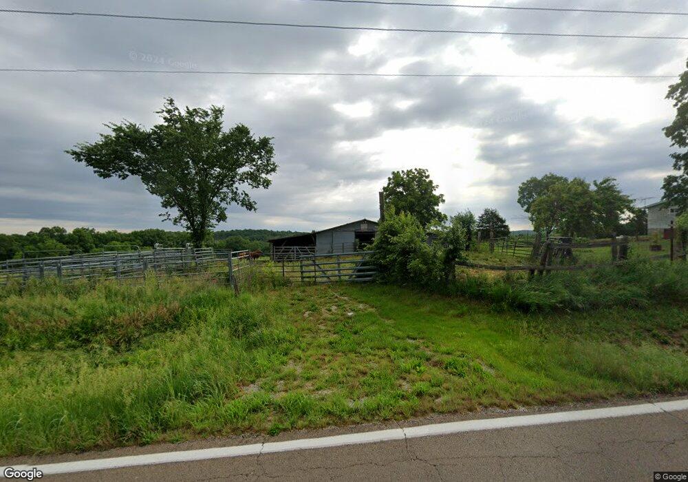
5574 Highway N Robertsville, MO 63072
Estimated Value: $221,382 - $258,000
2
Beds
2
Baths
1,151
Sq Ft
$210/Sq Ft
Est. Value
About This Home
This home is located at 5574 Highway N, Robertsville, MO 63072 and is currently estimated at $241,461, approximately $209 per square foot. 5574 Highway N is a home located in Franklin County with nearby schools including Lonedell Elementary School.
Ownership History
Date
Name
Owned For
Owner Type
Purchase Details
Closed on
Aug 23, 2019
Sold by
Jones Jeffery Lynn
Bought by
Lober Eric and Lober Kathryn
Current Estimated Value
Home Financials for this Owner
Home Financials are based on the most recent Mortgage that was taken out on this home.
Original Mortgage
$227,950
Outstanding Balance
$199,208
Interest Rate
3.7%
Mortgage Type
New Conventional
Estimated Equity
$42,253
Purchase Details
Closed on
Jan 18, 2007
Sold by
Jones Jeffery Lynn and Jones Shelley Dawn
Bought by
Jones Jeffery Lynn
Home Financials for this Owner
Home Financials are based on the most recent Mortgage that was taken out on this home.
Original Mortgage
$125,000
Interest Rate
6.11%
Mortgage Type
New Conventional
Create a Home Valuation Report for This Property
The Home Valuation Report is an in-depth analysis detailing your home's value as well as a comparison with similar homes in the area
Home Values in the Area
Average Home Value in this Area
Purchase History
| Date | Buyer | Sale Price | Title Company |
|---|---|---|---|
| Lober Eric | -- | None Available | |
| Jones Jeffery Lynn | -- | None Available |
Source: Public Records
Mortgage History
| Date | Status | Borrower | Loan Amount |
|---|---|---|---|
| Open | Lober Eric | $227,950 | |
| Previous Owner | Jones Jeffery Lynn | $125,000 |
Source: Public Records
Tax History Compared to Growth
Tax History
| Year | Tax Paid | Tax Assessment Tax Assessment Total Assessment is a certain percentage of the fair market value that is determined by local assessors to be the total taxable value of land and additions on the property. | Land | Improvement |
|---|---|---|---|---|
| 2025 | $1,368 | $22,178 | $0 | $0 |
| 2024 | $1,368 | $20,504 | $0 | $0 |
| 2023 | $1,195 | $20,504 | $0 | $0 |
| 2022 | $1,042 | $17,864 | $0 | $0 |
| 2021 | $1,038 | $17,864 | $0 | $0 |
| 2020 | $961 | $16,256 | $0 | $0 |
| 2019 | $960 | $16,256 | $0 | $0 |
| 2018 | $938 | $15,788 | $0 | $0 |
| 2017 | $930 | $15,788 | $0 | $0 |
| 2016 | $882 | $14,984 | $0 | $0 |
| 2015 | $880 | $14,984 | $0 | $0 |
| 2014 | $848 | $15,197 | $0 | $0 |
Source: Public Records
Map
Nearby Homes
- 2227 State Route N
- 4373 E Linda Ln
- 4398 E Linda Ln
- 5199 Highway N
- 0 N Hendricks Rd Unit MIS25078611
- 1811 Hendricks Rd
- 1855 Hendricks Rd
- 563 Calvey Heights Ct
- 420 Nancy Dr
- 525 Cedar View Dr
- 7816 Rye Creek Rd
- 0 Woodland Valley Dr Unit MAR25002747
- 0 Watts Ridge Dr
- 8716 Highway Hh
- 000 Fairview Church Rd
- 5563 E Anding Dr
- Parkway Dr
- 000 Forest Rd
- 10262 Hawks Rd
- 9265 St Route 30
- 5601 Highway N
- 5627 Highway N
- 1550 Valley Dr
- 5510 Highway N
- 1551 Valley Dr
- 322 Twin Valley Ln N
- 5637 Highway N
- 5658 Highway N
- 5561 Highway N
- 5662 Highway N
- 5484 Highway N
- 5664 Highway N
- 1620 Apache Way
- 791 Angelina Ln
- 759 Angelina Ln
- 1649 W Linda Ln
- 1605 Apache Way
- 1727 W Linda Ln
- 5448 Highway N
- 1636 Apache Way