5579 W Fm 120 Denison, TX 75020
Estimated Value: $597,463 - $602,000
--
Bed
--
Bath
3,200
Sq Ft
$187/Sq Ft
Est. Value
About This Home
This home is located at 5579 W Fm 120, Denison, TX 75020 and is currently estimated at $599,732, approximately $187 per square foot. 5579 W Fm 120 is a home located in Grayson County with nearby schools including Pottsboro Elementary School, Pottsboro Middle School, and Pottsboro High School.
Ownership History
Date
Name
Owned For
Owner Type
Purchase Details
Closed on
Mar 5, 2010
Sold by
Gouge Dale
Bought by
The Bcj Trust
Current Estimated Value
Home Financials for this Owner
Home Financials are based on the most recent Mortgage that was taken out on this home.
Original Mortgage
$108,800
Outstanding Balance
$72,110
Interest Rate
4.98%
Mortgage Type
Purchase Money Mortgage
Estimated Equity
$527,622
Purchase Details
Closed on
Jul 25, 2008
Sold by
Chambless Patsy J and Chambless Patsy Joline
Bought by
Gouge Dale
Home Financials for this Owner
Home Financials are based on the most recent Mortgage that was taken out on this home.
Original Mortgage
$60,600
Interest Rate
6.36%
Mortgage Type
Purchase Money Mortgage
Create a Home Valuation Report for This Property
The Home Valuation Report is an in-depth analysis detailing your home's value as well as a comparison with similar homes in the area
Home Values in the Area
Average Home Value in this Area
Purchase History
| Date | Buyer | Sale Price | Title Company |
|---|---|---|---|
| The Bcj Trust | -- | Grayson County Title | |
| Gouge Dale | -- | Grayson County Title |
Source: Public Records
Mortgage History
| Date | Status | Borrower | Loan Amount |
|---|---|---|---|
| Open | The Bcj Trust | $108,800 | |
| Previous Owner | Gouge Dale | $60,600 |
Source: Public Records
Tax History Compared to Growth
Tax History
| Year | Tax Paid | Tax Assessment Tax Assessment Total Assessment is a certain percentage of the fair market value that is determined by local assessors to be the total taxable value of land and additions on the property. | Land | Improvement |
|---|---|---|---|---|
| 2025 | $597 | $516,055 | -- | -- |
| 2024 | $6,517 | $469,141 | $0 | $0 |
| 2023 | $595 | $426,492 | $0 | $0 |
| 2022 | $6,118 | $387,720 | $0 | $0 |
| 2021 | $5,749 | $458,779 | $191,677 | $267,102 |
| 2020 | $6,207 | $366,588 | $139,778 | $226,810 |
| 2019 | $3,402 | $221,074 | $139,778 | $81,296 |
| 2018 | $3,140 | $245,959 | $165,695 | $80,264 |
| 2017 | $2,899 | $159,160 | $86,095 | $73,065 |
| 2016 | $2,670 | $153,160 | $86,095 | $67,065 |
| 2015 | $0 | $133,295 | $86,095 | $47,200 |
| 2014 | -- | $136,172 | $95,838 | $40,334 |
Source: Public Records
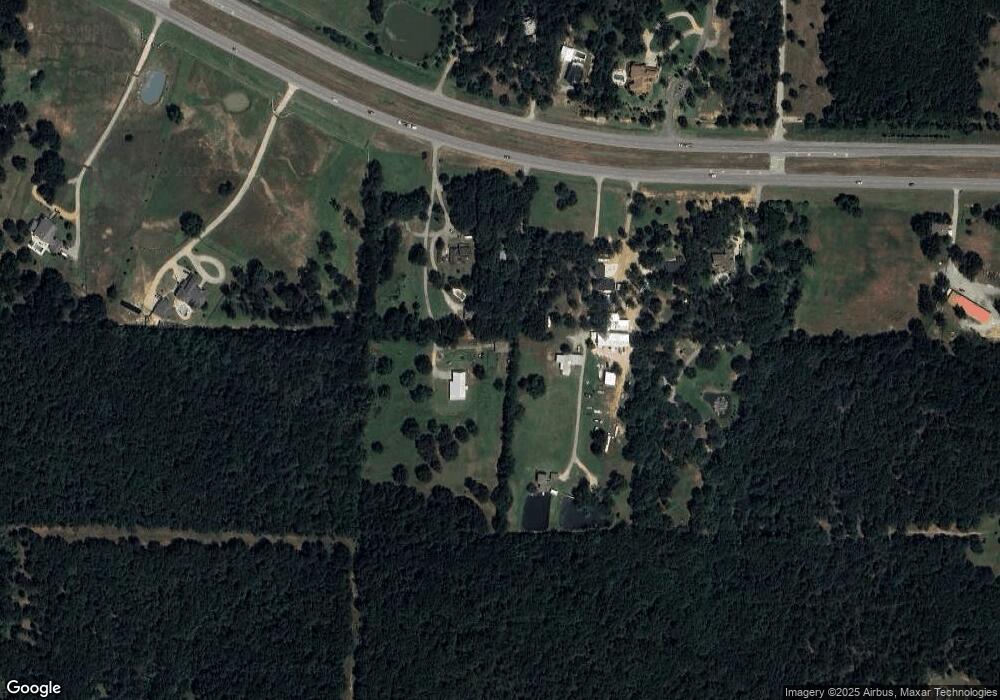
Map
Nearby Homes
- 5586 W Fm 120
- 1 Farm To Market 120
- 8 Summit Oaks Cir
- 48 Summit Oaks Cir
- 801 Well Rd
- TBD Preston Rd
- 1026 S Fm 131
- TBD W Fm 120
- 000 Davy Ln
- 226 Well Rd
- 2255 Davy Ln
- 2828 Preston Rd
- 629 Deleon St
- 1701 Cathey Dr
- 1705 Cathey Dr
- 610 Deleon St
- TBD Deleon St
- 1104 Cortez St
- Lot 3, 1055 Waters Edge Dr
- Lot 4, 1069 Waters Edge Dr
- 5577 Blaylock
- 5469 W Fm 120
- 5515 W Fm 120
- 5575 W Fm 120
- 5445 W Fm 120
- 5443 W Fm 120
- 5369 W Fm 120
- 5393 W Fm 120
- 5520 W Fm 120
- 1 Summit Oaks Cir
- 5675 W Fm 120
- 6914 Farm To Market 120
- 18 Summit Oaks Cir
- 2 Summit Oaks Cir
- 4 Summit Oaks Cir
- 7 Summit Oaks Cir
- 19 Summit Oaks Cir
- 10 Summit Oaks Cir
- 5759 W Fm 120
- 6 Summit Oaks Cir