5579 White Hall Rd Gloucester, VA 23061
Gloucester South NeighborhoodEstimated Value: $472,000 - $748,713
2
Beds
3
Baths
5,216
Sq Ft
$114/Sq Ft
Est. Value
About This Home
This home is located at 5579 White Hall Rd, Gloucester, VA 23061 and is currently estimated at $595,928, approximately $114 per square foot. 5579 White Hall Rd is a home located in Gloucester County with nearby schools including Botetourt Elementary School, Page Middle School, and Gloucester High School.
Ownership History
Date
Name
Owned For
Owner Type
Purchase Details
Closed on
Mar 23, 2016
Sold by
Salt Mary K
Bought by
Green William D and Green Randi R
Current Estimated Value
Home Financials for this Owner
Home Financials are based on the most recent Mortgage that was taken out on this home.
Original Mortgage
$265,590
Outstanding Balance
$209,426
Interest Rate
3.62%
Mortgage Type
VA
Estimated Equity
$386,502
Create a Home Valuation Report for This Property
The Home Valuation Report is an in-depth analysis detailing your home's value as well as a comparison with similar homes in the area
Home Values in the Area
Average Home Value in this Area
Purchase History
| Date | Buyer | Sale Price | Title Company |
|---|---|---|---|
| Green William D | $260,000 | Attorney |
Source: Public Records
Mortgage History
| Date | Status | Borrower | Loan Amount |
|---|---|---|---|
| Open | Green William D | $265,590 |
Source: Public Records
Tax History
| Year | Tax Paid | Tax Assessment Tax Assessment Total Assessment is a certain percentage of the fair market value that is determined by local assessors to be the total taxable value of land and additions on the property. | Land | Improvement |
|---|---|---|---|---|
| 2025 | $3,620 | $589,550 | $78,110 | $511,440 |
| 2024 | $3,620 | $589,550 | $78,110 | $511,440 |
| 2023 | $3,437 | $589,550 | $78,110 | $511,440 |
| 2022 | $3,370 | $464,810 | $56,160 | $408,650 |
| 2021 | $3,230 | $464,810 | $56,160 | $408,650 |
| 2020 | $3,230 | $464,810 | $56,160 | $408,650 |
| 2019 | $3,140 | $451,750 | $56,160 | $395,590 |
| 2017 | $3,140 | $451,750 | $56,160 | $395,590 |
| 2016 | $1,721 | $484,690 | $64,180 | $420,510 |
| 2015 | $3,296 | $484,200 | $55,500 | $428,700 |
| 2014 | $3,147 | $484,200 | $55,500 | $428,700 |
Source: Public Records
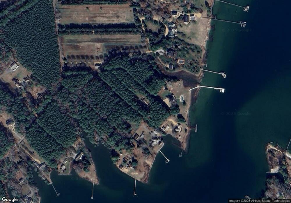
Map
Nearby Homes
- 3.87ac Cunningham Ln
- 6036 Crockett Ln
- 7692 Cunningham Ln
- Lot 11 Feather Bed Ln
- 6698 Hockley Wharf Ln
- 0000 T C Walker Rd
- 9378 Robins Neck Rd
- 20acre Feather Bed Ln
- 6777 Ware Neck Rd
- 1AC Ditchley Dr
- Lot 2 S George Washington Memorial Hwy
- 17 S George Washington Memorial Hwy
- Lot 3 S George Washington Memorial Hwy
- 8157 O Carra Dr
- 5474 George Washington Memorial Hwy
- 5941 Roland Smith Dr
- 6504 Gentry Ct
- 6467 Fleming Rilee Ln
- 6887 Healy Ave
- 6915 Healy Ave
- 5583 White Hall Rd
- 8246 White Hall Landing Ln
- 8234 White Hall Landing Ln
- 8261 White Hall Landing Ln
- 5595 White Hall Rd
- 8136 White Hall Landing Ln
- 5627 White Hall Rd
- 5631 White Hall Rd
- 5523 White Hall Rd Unit B
- 5523 White Hall Rd
- 5546 White Hall Rd
- 5841 White Hall Rd
- 5493 White Hall Rd
- 5698 Captain Woodlands Ln
- 00 Captain Woodlands Ln
- 5473 White Hall Rd
- 5514 Roanes Wharf Rd
- 5552 Roanes Wharf Rd
- 5518 Roanes Wharf Rd
- 5556 Roanes Wharf Rd
Your Personal Tour Guide
Ask me questions while you tour the home.