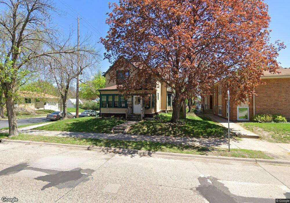
558 558 12th Ave N South St. Paul, MN 55075
Estimated Value: $351,000 - $353,000
4
Beds
3
Baths
2,082
Sq Ft
$169/Sq Ft
Est. Value
About This Home
This home is located at 558 558 12th Ave N, South St. Paul, MN 55075 and is currently estimated at $351,978, approximately $169 per square foot. 558 558 12th Ave N is a home located in Dakota County with nearby schools including Lincoln Center Elementary, South St. Paul Secondary, and Academic Arts High School.
Ownership History
Date
Name
Owned For
Owner Type
Purchase Details
Closed on
Dec 31, 2018
Sold by
Varenhorst Susan A
Bought by
Herrick Samantha K D and Herrick Joe
Current Estimated Value
Home Financials for this Owner
Home Financials are based on the most recent Mortgage that was taken out on this home.
Original Mortgage
$229,900
Outstanding Balance
$202,941
Interest Rate
4.8%
Mortgage Type
New Conventional
Estimated Equity
$149,037
Purchase Details
Closed on
Jul 20, 2012
Sold by
Berg Christopher and Berg Ravit
Bought by
Varenhorst Susan A
Home Financials for this Owner
Home Financials are based on the most recent Mortgage that was taken out on this home.
Original Mortgage
$166,800
Interest Rate
3.52%
Mortgage Type
New Conventional
Purchase Details
Closed on
Nov 10, 2006
Sold by
Deutsche Bank National Trust Co
Bought by
Prince Nicholas P
Create a Home Valuation Report for This Property
The Home Valuation Report is an in-depth analysis detailing your home's value as well as a comparison with similar homes in the area
Home Values in the Area
Average Home Value in this Area
Purchase History
| Date | Buyer | Sale Price | Title Company |
|---|---|---|---|
| Herrick Samantha K D | $249,900 | Land Title Inc | |
| Varenhorst Susan A | $208,500 | Home Title | |
| Prince Nicholas P | $185,000 | -- |
Source: Public Records
Mortgage History
| Date | Status | Borrower | Loan Amount |
|---|---|---|---|
| Open | Herrick Samantha K D | $229,900 | |
| Previous Owner | Varenhorst Susan A | $166,800 |
Source: Public Records
Tax History Compared to Growth
Tax History
| Year | Tax Paid | Tax Assessment Tax Assessment Total Assessment is a certain percentage of the fair market value that is determined by local assessors to be the total taxable value of land and additions on the property. | Land | Improvement |
|---|---|---|---|---|
| 2024 | $4,756 | $338,400 | $49,900 | $288,500 |
| 2023 | $4,756 | $344,900 | $50,200 | $294,700 |
| 2022 | $3,846 | $327,900 | $50,200 | $277,700 |
| 2021 | $3,532 | $286,200 | $43,600 | $242,600 |
| 2020 | $3,380 | $260,600 | $41,500 | $219,100 |
| 2019 | $2,808 | $256,400 | $39,600 | $216,800 |
| 2018 | $2,778 | $209,500 | $36,000 | $173,500 |
| 2017 | $2,497 | $199,800 | $34,300 | $165,500 |
| 2016 | $2,559 | $186,000 | $31,200 | $154,800 |
| 2015 | $2,393 | $162,121 | $26,326 | $135,795 |
| 2014 | -- | $160,704 | $26,283 | $134,421 |
| 2013 | -- | $130,838 | $22,146 | $108,692 |
Source: Public Records
Map
Nearby Homes
- 558 558 12th-Avenue-n
- 558 12th Ave N
- 550 12th Ave N
- 604 12th Ave N
- 542 542 12th Ave N
- 542 542 12th-Avenue-n
- 557 11th Ave N
- 542 12th Ave N
- 557 557 12th Ave N
- 551 551 12th-Avenue-n
- 551 551 12th Ave N
- 557 12th Ave N
- 555 12th Ave N
- 551 11th Ave N
- 608 12th Ave N
- 551 12th Ave N
- 601 12th Ave N
- 547 11th Ave N
- 607 11th Ave N
- 547 12th Ave N