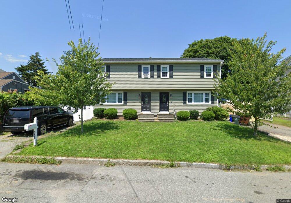
558 Anthony St Unit 560 Fall River, MA 02721
Maplewood NeighborhoodEstimated Value: $562,099 - $641,000
6
Beds
4
Baths
2,728
Sq Ft
$222/Sq Ft
Est. Value
About This Home
This home is located at 558 Anthony St Unit 560, Fall River, MA 02721 and is currently estimated at $604,525, approximately $221 per square foot. 558 Anthony St Unit 560 is a home located in Bristol County with nearby schools including Letourneau Elementary School, Talbot Innovation School, and B M C Durfee High School.
Ownership History
Date
Name
Owned For
Owner Type
Purchase Details
Closed on
Dec 17, 1998
Sold by
Costa Glenn J and Costa Diane M
Bought by
Rego Kenneth J and Rego Anne Marie
Current Estimated Value
Home Financials for this Owner
Home Financials are based on the most recent Mortgage that was taken out on this home.
Original Mortgage
$121,000
Interest Rate
6.85%
Mortgage Type
Purchase Money Mortgage
Create a Home Valuation Report for This Property
The Home Valuation Report is an in-depth analysis detailing your home's value as well as a comparison with similar homes in the area
Home Values in the Area
Average Home Value in this Area
Purchase History
| Date | Buyer | Sale Price | Title Company |
|---|---|---|---|
| Rego Kenneth J | $12,000 | -- |
Source: Public Records
Mortgage History
| Date | Status | Borrower | Loan Amount |
|---|---|---|---|
| Open | Rego Kenneth J | $230,000 | |
| Closed | Rego Kenneth J | $121,000 | |
| Previous Owner | Rego Kenneth J | $100,000 |
Source: Public Records
Tax History
| Year | Tax Paid | Tax Assessment Tax Assessment Total Assessment is a certain percentage of the fair market value that is determined by local assessors to be the total taxable value of land and additions on the property. | Land | Improvement |
|---|---|---|---|---|
| 2025 | $5,909 | $516,100 | $118,300 | $397,800 |
| 2024 | $5,429 | $472,500 | $116,000 | $356,500 |
| 2023 | $5,179 | $422,100 | $104,500 | $317,600 |
| 2022 | $4,803 | $380,600 | $98,600 | $282,000 |
| 2021 | $4,340 | $313,800 | $94,200 | $219,600 |
| 2020 | $3,884 | $268,800 | $89,900 | $178,900 |
| 2019 | $3,520 | $241,400 | $94,000 | $147,400 |
| 2018 | $3,434 | $234,900 | $94,700 | $140,200 |
| 2017 | $3,191 | $227,900 | $94,700 | $133,200 |
| 2016 | $3,104 | $227,700 | $97,600 | $130,100 |
| 2015 | $3,031 | $231,700 | $97,600 | $134,100 |
| 2014 | $3,051 | $242,500 | $97,600 | $144,900 |
Source: Public Records
Map
Nearby Homes
- 186 Spencer St
- 495 Chicago St
- 93 Lawton St
- 59 Denver St
- 125 Carl St
- 478 Tucker St
- 539 Aetna St
- 59 Wayne St
- 0 Stafford Rd Unit 1393774
- 0 Stafford Rd Unit 73431501
- 545 Brayton Ave
- 95 Hiatt St
- 0 Wood St
- 21 Boyden St
- 248 Jefferson St
- 311 S Oxford St
- 0 Hancock St
- 143 Meeson St
- 1350 Rodman St
- 10 Aberdeen St
- 576 Anthony St
- 542 Anthony St
- 585 Lawton St
- 575 Lawton St
- 597 Lawton St
- 597 Lawton St Unit 2
- 597 Lawton St Unit 1
- 551 Anthony St
- 571 Anthony St
- 522 Anthony St
- 565 Lawton St
- 533 Anthony St
- 583 Anthony St
- 595 Anthony St
- 531 Anthony St
- 602 Anthony St
- 514 Anthony St
- 525 Anthony St
- 146 Progress St
- 541 Lawton St Unit 543
Your Personal Tour Guide
Ask me questions while you tour the home.