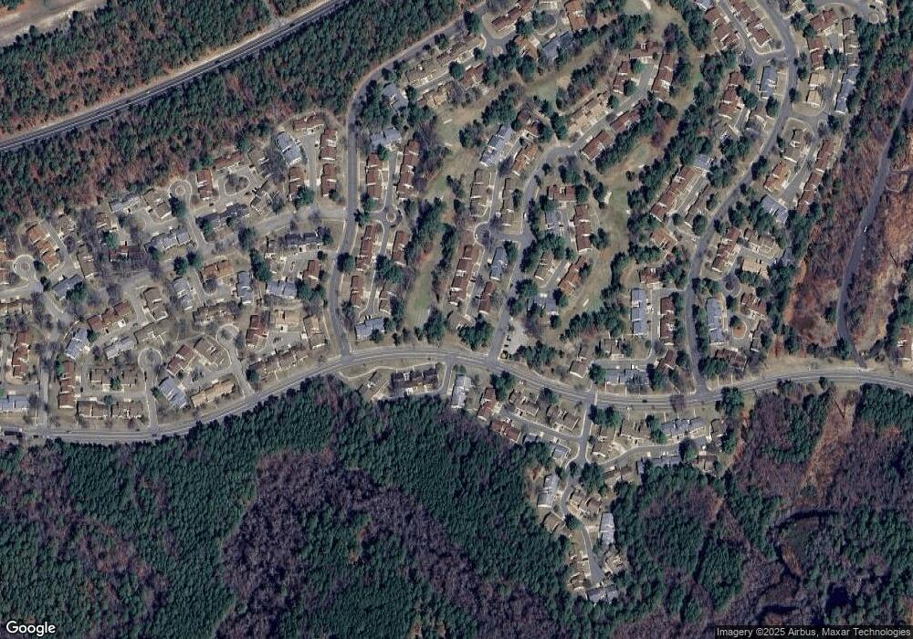
558 Malvern Ct Unit A Manchester, NJ 08759
Manchester Township NeighborhoodEstimated Value: $235,027 - $301,000
2
Beds
2
Baths
1,381
Sq Ft
$202/Sq Ft
Est. Value
About This Home
This home is located at 558 Malvern Ct Unit A, Manchester, NJ 08759 and is currently estimated at $279,007, approximately $202 per square foot. 558 Malvern Ct Unit A is a home located in Ocean County with nearby schools including Manchester Township High School.
Ownership History
Date
Name
Owned For
Owner Type
Purchase Details
Closed on
Feb 4, 2025
Sold by
Menasse Renee
Bought by
Menasse Michael
Current Estimated Value
Purchase Details
Closed on
Jun 25, 2020
Sold by
Menasse Barbara
Bought by
Menasse Michael
Purchase Details
Closed on
Mar 19, 2019
Sold by
Menasse Renee and Estate Of Solomon Menasse
Bought by
Menasse Leon and Menasse Michael
Purchase Details
Closed on
Jun 23, 2010
Sold by
Menasse Solomon and Menasse Renee
Bought by
Menasse Solomon and Menasse Renee
Purchase Details
Closed on
Oct 3, 2001
Sold by
Sutherland Margaret
Bought by
Menasse Solomon and Menasse Renee
Create a Home Valuation Report for This Property
The Home Valuation Report is an in-depth analysis detailing your home's value as well as a comparison with similar homes in the area
Home Values in the Area
Average Home Value in this Area
Purchase History
| Date | Buyer | Sale Price | Title Company |
|---|---|---|---|
| Menasse Michael | -- | None Listed On Document | |
| Menasse Michael | -- | None Listed On Document | |
| Menasse Michael | -- | None Available | |
| Menasse Barbara | -- | None Available | |
| Menasse Leon | -- | None Available | |
| Menasse Solomon | -- | None Available | |
| Menasse Solomon | $109,000 | -- |
Source: Public Records
Tax History Compared to Growth
Tax History
| Year | Tax Paid | Tax Assessment Tax Assessment Total Assessment is a certain percentage of the fair market value that is determined by local assessors to be the total taxable value of land and additions on the property. | Land | Improvement |
|---|---|---|---|---|
| 2025 | $3,091 | $225,900 | $60,000 | $165,900 |
| 2024 | $2,683 | $125,900 | $34,000 | $91,900 |
| 2023 | $2,539 | $125,900 | $34,000 | $91,900 |
| 2022 | $2,789 | $125,900 | $34,000 | $91,900 |
| 2021 | $2,478 | $125,900 | $34,000 | $91,900 |
| 2020 | $2,656 | $125,900 | $34,000 | $91,900 |
| 2019 | $2,149 | $83,800 | $14,000 | $69,800 |
| 2018 | $2,141 | $83,800 | $14,000 | $69,800 |
| 2017 | $2,149 | $83,800 | $14,000 | $69,800 |
| 2016 | $2,123 | $83,800 | $14,000 | $69,800 |
| 2015 | $2,084 | $83,800 | $14,000 | $69,800 |
| 2014 | $2,041 | $83,800 | $14,000 | $69,800 |
Source: Public Records
Map
Nearby Homes
- 550C Mayfair Rd Unit 550C
- 692B Friar Ct Unit B
- 636A Devonshire Ln Unit 636A
- 533B Warwick Ct
- 616A Bosworth Ct Unit A
- 638B Finchley Ct
- 29 Saint Paul Place
- 715A Wooton Ct
- 715C Wooton Ct Unit 715C
- 32 Saint Paul Place
- 13 Saint Paul Place
- 727B Wooton Ct
- 39 Dorset Rd
- 50 Flintshire Terrace
- 26 Dorset Rd
- 55 Elmswell Ave
- 83B Cambridge Cir Unit 385B
- 9 Oakham Row
- 73 Red Hill Rd
- 478A Buckingham Dr
- 558 Malvern Ct Unit B
- 558b Malvern Ct
- 557 Malvern Ct Unit D
- 557 Malvern Ct Unit A
- 557D Malvern Ct Unit 557D
- 556 Malvern Ct Unit B
- 556A Malvern Ct
- 557C Malvern Ct
- 557C Malvern Ct Unit 557C
- 682B Huntington Dr Unit 682B
- 680A Huntington Dr Unit 680A
- 680 Huntington Dr Unit A
- 680 Huntington Dr Unit C
- 687 Friar Ct Unit C
- 557B Malvern Ct Unit 557B
- 557B Malvern Ct Unit B
- 680B Huntington Dr
- 680B Huntington Dr Unit b
- 555A Malvern Ct
- 682A Huntington Dr
