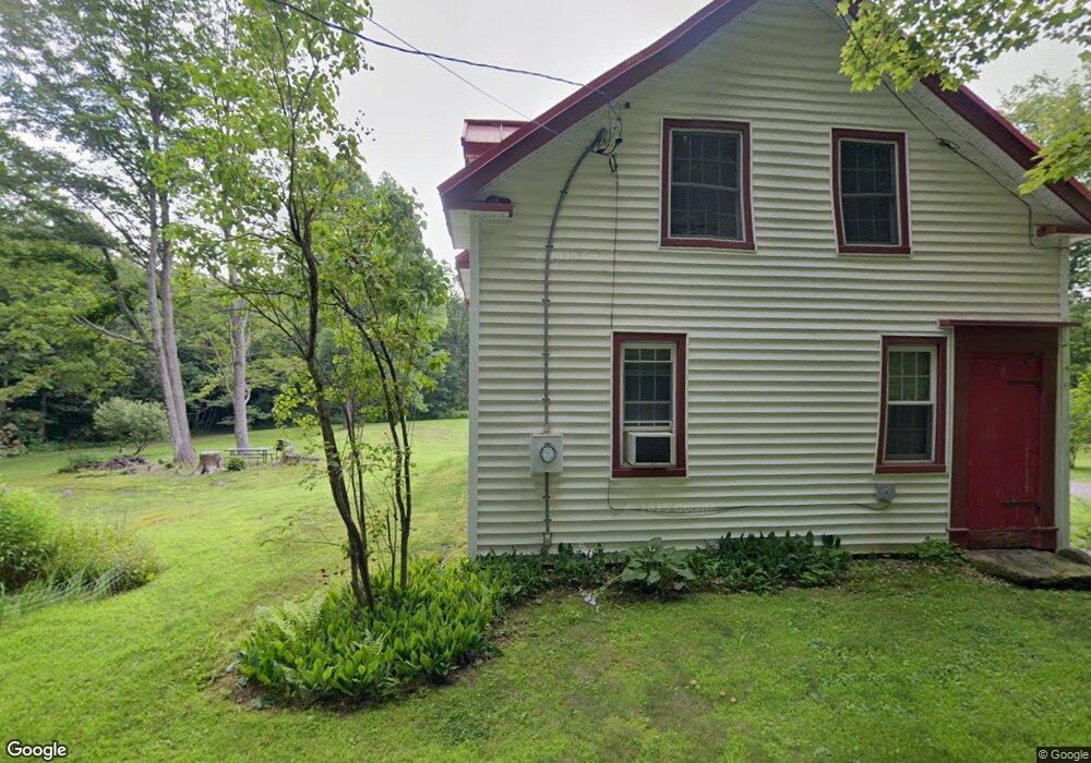
558 March Rd Shelburne Falls, MA 01370
Ashfield NeighborhoodEstimated Value: $214,000 - $331,000
2
Beds
1
Bath
911
Sq Ft
$291/Sq Ft
Est. Value
About This Home
This home is located at 558 March Rd, Shelburne Falls, MA 01370 and is currently estimated at $265,198, approximately $291 per square foot. 558 March Rd is a home with nearby schools including Mohawk Trail Regional High School.
Ownership History
Date
Name
Owned For
Owner Type
Purchase Details
Closed on
Mar 7, 2006
Sold by
Steiner Sally A
Bought by
Steiner Stephen N
Current Estimated Value
Home Financials for this Owner
Home Financials are based on the most recent Mortgage that was taken out on this home.
Original Mortgage
$103,200
Outstanding Balance
$58,290
Interest Rate
6.16%
Mortgage Type
Purchase Money Mortgage
Estimated Equity
$206,908
Purchase Details
Closed on
Mar 20, 1995
Sold by
Kellogg Marianne E and Lamontagne Francis N
Bought by
Steiner Stephen N and Steiner Sally A
Home Financials for this Owner
Home Financials are based on the most recent Mortgage that was taken out on this home.
Original Mortgage
$63,000
Interest Rate
8.89%
Mortgage Type
Purchase Money Mortgage
Create a Home Valuation Report for This Property
The Home Valuation Report is an in-depth analysis detailing your home's value as well as a comparison with similar homes in the area
Home Values in the Area
Average Home Value in this Area
Purchase History
| Date | Buyer | Sale Price | Title Company |
|---|---|---|---|
| Steiner Stephen N | $40,000 | -- | |
| Steiner Stephen N | $70,000 | -- |
Source: Public Records
Mortgage History
| Date | Status | Borrower | Loan Amount |
|---|---|---|---|
| Open | Steiner Stephen N | $103,200 | |
| Previous Owner | Steiner Stephen N | $71,294 | |
| Previous Owner | Steiner Stephen N | $65,000 | |
| Previous Owner | Steiner Stephen N | $63,000 |
Source: Public Records
Tax History Compared to Growth
Tax History
| Year | Tax Paid | Tax Assessment Tax Assessment Total Assessment is a certain percentage of the fair market value that is determined by local assessors to be the total taxable value of land and additions on the property. | Land | Improvement |
|---|---|---|---|---|
| 2025 | $3,154 | $234,300 | $96,800 | $137,500 |
| 2024 | $3,327 | $227,700 | $96,800 | $130,900 |
| 2023 | $3,084 | $175,100 | $78,300 | $96,800 |
| 2022 | $2,937 | $169,000 | $74,800 | $94,200 |
| 2021 | $2,767 | $167,200 | $74,800 | $92,400 |
| 2020 | $2,786 | $167,200 | $74,800 | $92,400 |
| 2019 | $2,747 | $160,100 | $70,500 | $89,600 |
| 2018 | $2,751 | $160,100 | $70,500 | $89,600 |
| 2017 | $2,605 | $160,600 | $69,600 | $91,000 |
| 2016 | $2,542 | $154,600 | $69,600 | $85,000 |
| 2015 | $2,469 | $154,600 | $69,600 | $85,000 |
| 2014 | $2,599 | $160,800 | $65,300 | $95,500 |
Source: Public Records
Map
Nearby Homes
- 240 Beldingville Rd
- 0 Ashfield Rd
- 102 Elm St
- 7 Hog Hollow Rd
- 0 Upper St
- 156 Ashfield Rd
- 85 Dacey Rd
- lot 1 Shelburne Falls Rd
- 10 Deerfield Ave Unit 5
- 10 Deerfield Ave Unit 2
- 105 - 107 Bridge St
- 33 Williams St
- 220 Hawley Rd
- 2151 Route 2
- 2155 Massachusetts 2
- 473 N Poland Rd
- 31 W Oxbow Rd
- 24 W Oxbow Rd
- 143 Charlemont Rd
- 14 River St