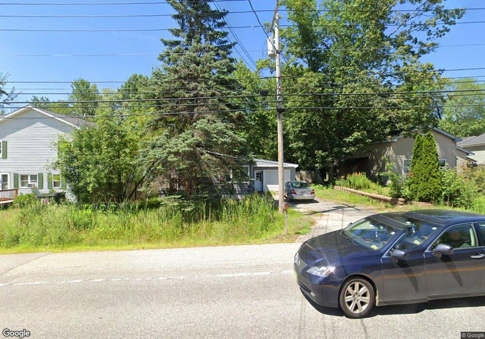
558 Sabattus Rd Sabattus, ME 04280
Estimated Value: $206,864 - $272,000
2
Beds
1
Bath
600
Sq Ft
$396/Sq Ft
Est. Value
About This Home
This home is located at 558 Sabattus Rd, Sabattus, ME 04280 and is currently estimated at $237,466, approximately $395 per square foot. 558 Sabattus Rd is a home located in Androscoggin County with nearby schools including Sabattus Primary School, Libby-Tozier School, and Carrie Ricker School.
Ownership History
Date
Name
Owned For
Owner Type
Purchase Details
Closed on
Aug 14, 2019
Sold by
Brault Celia H Est
Bought by
Stewart Tiffiny C
Current Estimated Value
Purchase Details
Closed on
Jul 21, 2014
Sold by
Stewart Tiffiny C
Bought by
Brault Celia H
Home Financials for this Owner
Home Financials are based on the most recent Mortgage that was taken out on this home.
Original Mortgage
$73,000
Interest Rate
4.14%
Mortgage Type
Purchase Money Mortgage
Purchase Details
Closed on
Aug 2, 2010
Sold by
Felker Randy
Bought by
Stewart Tiffiny C
Purchase Details
Closed on
Dec 18, 2009
Sold by
Zamrock David A
Bought by
Bank Of New York Mellon
Create a Home Valuation Report for This Property
The Home Valuation Report is an in-depth analysis detailing your home's value as well as a comparison with similar homes in the area
Home Values in the Area
Average Home Value in this Area
Purchase History
| Date | Buyer | Sale Price | Title Company |
|---|---|---|---|
| Stewart Tiffiny C | -- | -- | |
| Brault Celia H | -- | -- | |
| Stewart Tiffiny C | -- | -- | |
| Bank Of New York Mellon | -- | -- |
Source: Public Records
Mortgage History
| Date | Status | Borrower | Loan Amount |
|---|---|---|---|
| Previous Owner | Brault Celia H | $73,000 | |
| Previous Owner | Bank Of New York Mellon | $126,400 |
Source: Public Records
Tax History Compared to Growth
Tax History
| Year | Tax Paid | Tax Assessment Tax Assessment Total Assessment is a certain percentage of the fair market value that is determined by local assessors to be the total taxable value of land and additions on the property. | Land | Improvement |
|---|---|---|---|---|
| 2024 | $1,965 | $102,900 | $20,100 | $82,800 |
| 2023 | $1,878 | $102,900 | $20,100 | $82,800 |
| 2022 | $1,713 | $102,900 | $20,100 | $82,800 |
| 2021 | $1,616 | $102,900 | $20,100 | $82,800 |
| 2020 | $1,653 | $93,100 | $20,100 | $73,000 |
| 2019 | $1,653 | $93,100 | $20,100 | $73,000 |
| 2018 | $1,653 | $93,100 | $20,100 | $73,000 |
| 2017 | $1,653 | $93,100 | $20,100 | $73,000 |
| 2016 | $1,746 | $93,100 | $20,100 | $73,000 |
| 2014 | $1,657 | $93,100 | $20,100 | $73,000 |
| 2013 | $1,522 | $93,100 | $20,100 | $73,000 |
Source: Public Records
Map
Nearby Homes
- 63 Riley Rd
- 22 Woodside Dr
- 49 Hemlock St
- 83 Phelan St
- 147 Greene St
- 41 Hidden Pond Rd
- 325 Middle Rd
- 148 School Rd
- 18 Terrace View
- 65 Autumn Ridge
- 71 5th Ave Unit 15
- 88 Barnard Cove Rd
- 466 Middle Rd
- 26 Fox Run Dr
- 18 Waters Edge Dr
- 1 Fox Run Dr
- R01L73 & M8l32 Marsh Rd
- 6 Pond Ridge Dr
- 10 Village Dr
- 25 Village Dr