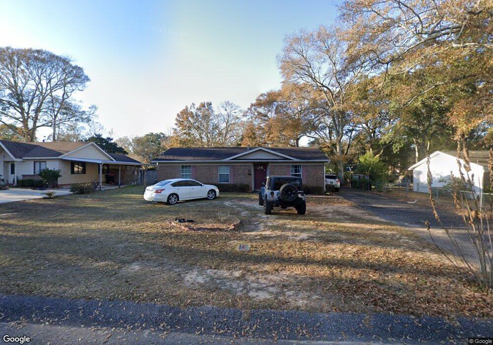
5580 Pointer Rd Theodore, AL 36582
Westmont NeighborhoodEstimated Value: $182,337 - $211,000
4
Beds
2
Baths
1,776
Sq Ft
$111/Sq Ft
Est. Value
About This Home
This home is located at 5580 Pointer Rd, Theodore, AL 36582 and is currently estimated at $196,334, approximately $110 per square foot. 5580 Pointer Rd is a home located in Mobile County with nearby schools including WC Griggs Elementary School, Katherine H Hankins Middle School, and Theodore High School.
Ownership History
Date
Name
Owned For
Owner Type
Purchase Details
Closed on
Aug 19, 2021
Sold by
Petel Anil R
Bought by
Gulf Coast Land Trust
Current Estimated Value
Purchase Details
Closed on
Jun 8, 2021
Sold by
Patel Anil and Patel Mina
Bought by
Consortium Southerm Land
Purchase Details
Closed on
Apr 18, 2008
Sold by
I-10/Td Joint Venture
Bought by
Ali Investments Llc
Create a Home Valuation Report for This Property
The Home Valuation Report is an in-depth analysis detailing your home's value as well as a comparison with similar homes in the area
Home Values in the Area
Average Home Value in this Area
Purchase History
| Date | Buyer | Sale Price | Title Company |
|---|---|---|---|
| Gulf Coast Land Trust | -- | None Available | |
| Gulf Coast Land Trust | -- | None Available | |
| Consortium Southerm Land | $10,100 | None Available | |
| Ali Investments Llc | $466,666 | None Available |
Source: Public Records
Tax History
| Year | Tax Paid | Tax Assessment Tax Assessment Total Assessment is a certain percentage of the fair market value that is determined by local assessors to be the total taxable value of land and additions on the property. | Land | Improvement |
|---|---|---|---|---|
| 2025 | $1,683 | $32,220 | $5,200 | $27,020 |
| 2024 | $1,683 | $32,020 | $5,000 | $27,020 |
| 2023 | $1,673 | $25,220 | $4,800 | $20,420 |
| 2022 | $1,292 | $26,640 | $4,000 | $22,640 |
| 2021 | $523 | $12,140 | $2,000 | $10,140 |
| 2020 | $523 | $12,140 | $2,000 | $10,140 |
| 2019 | $539 | $12,500 | $2,000 | $10,500 |
| 2018 | $531 | $12,340 | $0 | $0 |
| 2017 | $543 | $12,580 | $0 | $0 |
| 2016 | $534 | $12,400 | $0 | $0 |
| 2013 | $585 | $13,200 | $0 | $0 |
Source: Public Records
Map
Nearby Homes
- 5650 Quail Run W
- 6355 Roundtree Ct
- 5551 Springer Ct
- 5734 Pheasant Ct
- 5670 Woodchase Blvd
- 6570 Rabbit Ct
- 5185 Santos Dr W
- 6116 General Lee Ave
- 6028 Creek Side Trail
- 5171 Fairland Dr
- 6641 Merlin Dr
- 5084 Fairland Dr
- 5023 Freeway Ln
- 5015 Santos Dr W
- 5089 Guinevere Dr
- 5161 Lancelot Dr
- 0 Rester Rd
- 6361 Rester Rd
- 5187 Somerset Dr W
- 5365 Waco Ct
- 5572 Pointer Rd
- 5588 Pointer Rd
- 5588 Pointer Rd Unit 1
- 5588 Pointer 1
- 5541 Quail Run W
- 5558 Pointer Rd
- 5590 Pointer Rd
- 5551 Quail Run W
- 5531 Quail Run W
- 5575 Quail Run W
- 5565 Quail Run S
- 5570 Setter Rd
- 5525 Quail Run W
- 5589 Pointer Rd
- 5554 Pointer Rd
- 5587 Quail Run W
- 5601 Pointer Rd
- 5557 Pointer Rd
- 5515 Quail Run W
- W Quail Run W
Your Personal Tour Guide
Ask me questions while you tour the home.