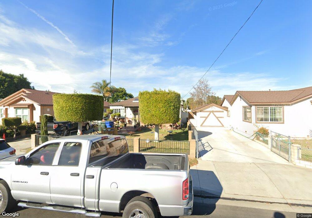
5581 Camp St Cypress, CA 90630
Estimated Value: $779,990 - $892,000
2
Beds
1
Bath
780
Sq Ft
$1,058/Sq Ft
Est. Value
About This Home
This home is located at 5581 Camp St, Cypress, CA 90630 and is currently estimated at $825,498, approximately $1,058 per square foot. 5581 Camp St is a home located in Orange County with nearby schools including Juliet Morris Elementary School, Lexington Junior High School, and Cypress High School.
Create a Home Valuation Report for This Property
The Home Valuation Report is an in-depth analysis detailing your home's value as well as a comparison with similar homes in the area
Home Values in the Area
Average Home Value in this Area
Tax History
| Year | Tax Paid | Tax Assessment Tax Assessment Total Assessment is a certain percentage of the fair market value that is determined by local assessors to be the total taxable value of land and additions on the property. | Land | Improvement |
|---|---|---|---|---|
| 2025 | $1,784 | $130,782 | $96,208 | $34,574 |
| 2024 | $1,784 | $128,218 | $94,321 | $33,897 |
| 2023 | $1,740 | $125,704 | $92,471 | $33,233 |
| 2022 | $1,715 | $123,240 | $90,658 | $32,582 |
| 2021 | $1,693 | $120,824 | $88,880 | $31,944 |
| 2020 | $1,684 | $119,586 | $87,969 | $31,617 |
| 2019 | $1,645 | $117,242 | $86,244 | $30,998 |
| 2018 | $1,623 | $114,944 | $84,553 | $30,391 |
| 2017 | $1,573 | $112,691 | $82,895 | $29,796 |
| 2016 | $1,559 | $110,482 | $81,270 | $29,212 |
| 2015 | $1,546 | $108,823 | $80,049 | $28,774 |
| 2014 | $1,472 | $106,692 | $78,481 | $28,211 |
Source: Public Records
Map
Nearby Homes
- 5342 Bishop St
- 5475 Twin Lakes Dr
- 5572 Saint Ann Ave
- 9332 Nancy St
- 5372 Harvard Way
- 5930 Los Nietos St
- 8792 Valley View St Unit B
- 9001 Cerise Ln Unit 109
- 9001 Cerise Ln Unit 113
- 9011 Cerise Ln Unit 129
- 6007 Clementine Ln Unit 21
- 5000 Clementine Ln
- 9031 Primavera Ln
- 8762 La Salle St
- 4842 Sapphire Way
- 9598 Naples Dr
- 8521 Via Tina
- 5353 Cumberland Dr
- 9066 Candlestick Ln Unit 5
- 4891 Grace Ave
Your Personal Tour Guide
Ask me questions while you tour the home.