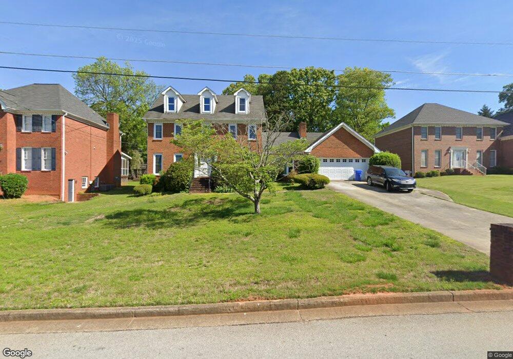
5584 Wilderness Trace Unit 3 Stone Mountain, GA 30087
Estimated Value: $330,613 - $442,000
3
Beds
3
Baths
2,757
Sq Ft
$138/Sq Ft
Est. Value
About This Home
This home is located at 5584 Wilderness Trace Unit 3, Stone Mountain, GA 30087 and is currently estimated at $379,403, approximately $137 per square foot. 5584 Wilderness Trace Unit 3 is a home located in DeKalb County with nearby schools including Shadow Rock Elementary School, Redan Middle School, and Redan High School.
Ownership History
Date
Name
Owned For
Owner Type
Purchase Details
Closed on
Apr 18, 2002
Sold by
Ward Melvin R and Ward Dewene W
Bought by
Patterson Darvin and Patterson Nikita D
Current Estimated Value
Home Financials for this Owner
Home Financials are based on the most recent Mortgage that was taken out on this home.
Original Mortgage
$199,500
Outstanding Balance
$84,765
Interest Rate
7.16%
Mortgage Type
New Conventional
Estimated Equity
$294,638
Create a Home Valuation Report for This Property
The Home Valuation Report is an in-depth analysis detailing your home's value as well as a comparison with similar homes in the area
Home Values in the Area
Average Home Value in this Area
Purchase History
| Date | Buyer | Sale Price | Title Company |
|---|---|---|---|
| Patterson Darvin | $210,000 | -- |
Source: Public Records
Mortgage History
| Date | Status | Borrower | Loan Amount |
|---|---|---|---|
| Open | Patterson Darvin | $199,500 |
Source: Public Records
Tax History
| Year | Tax Paid | Tax Assessment Tax Assessment Total Assessment is a certain percentage of the fair market value that is determined by local assessors to be the total taxable value of land and additions on the property. | Land | Improvement |
|---|---|---|---|---|
| 2025 | $4,508 | $140,720 | $18,000 | $122,720 |
| 2024 | $4,487 | $131,120 | $18,000 | $113,120 |
| 2023 | $4,487 | $139,520 | $13,200 | $126,320 |
Source: Public Records
Map
Nearby Homes
- 5694 Southland Dr
- 743 Mountain Meadow Walk
- 5651 Wells Cir
- 5743 Wells Cir
- 5713 Wells Cir
- 5707 Wells Cir
- 5607 Stonington Trace Pkwy
- 5594 Stonington Trace Pkwy
- 758 S Stone Mountain Lithonia Rd
- 759 Greenhedge Dr
- 703 Kingsgate Ridge
- 447 Sherwood Cir
- 708 Greenhedge Dr Unit 3A
- 826 Greenhedge Way Unit 2
- 5450 Fox Haven Trail
- 5690 Shadow Rock Dr
- 5856 Gateway Blvd
- 960 Stone Mountain Lithonia Rd
- 854 Greenhedge Dr
- 632 Grande View Unit 2
- 5576 Wilderness Trace Unit 10
- 5576 Wilderness Trace
- 5592 Wilderness Trace Unit 3
- 5581 Manassas Run
- 5589 Manassas Run
- 5581 Wilderness Trace
- 5600 Wilderness Trace
- 5570 Wilderness Trace Unit 3
- 5589 Wilderness Trace Unit 3
- 5573 Manassas Run
- 5595 Manassas Run
- 5573 Wilderness Trace
- 5597 Wilderness Trace
- 5603 Manassas Run
- 5606 Wilderness Trace
- 5566 Wilderness Trace
- 5567 Wilderness Trace
- 5565 Manassas Run
- 5582 Southland Dr Unit 1
- 5574 Southland Dr Unit 1
Your Personal Tour Guide
Ask me questions while you tour the home.