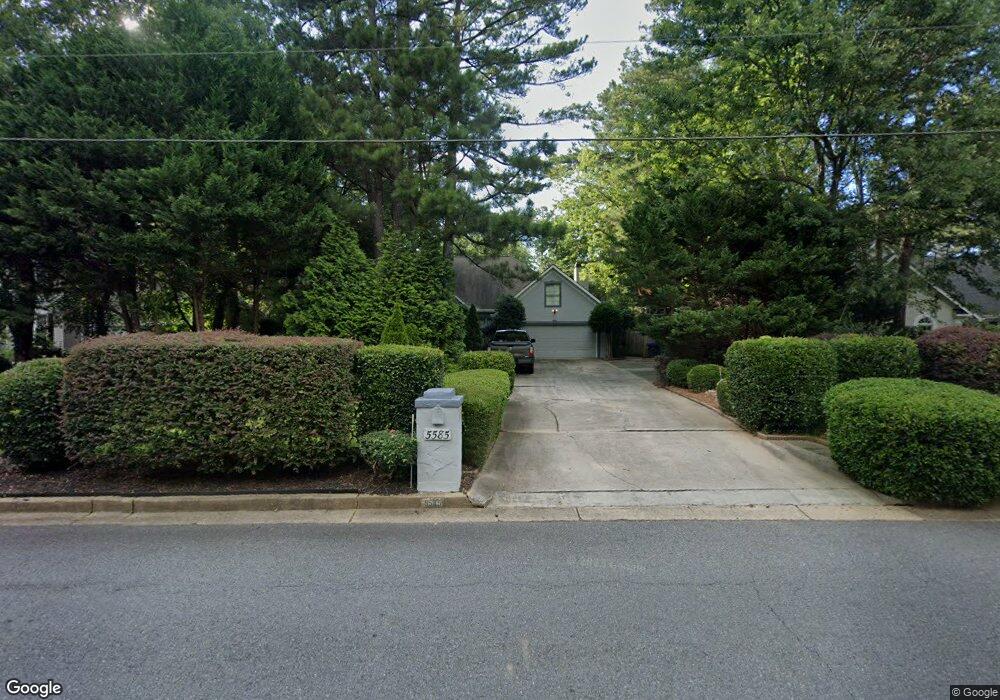
5585 E Morton Rd Alpharetta, GA 30022
Estimated Value: $631,000 - $697,000
3
Beds
3
Baths
3,144
Sq Ft
$213/Sq Ft
Est. Value
About This Home
This home is located at 5585 E Morton Rd, Alpharetta, GA 30022 and is currently estimated at $670,960, approximately $213 per square foot. 5585 E Morton Rd is a home located in Fulton County with nearby schools including State Bridge Crossing Elementary School, Taylor Road Middle School, and Chattahoochee High School.
Ownership History
Date
Name
Owned For
Owner Type
Purchase Details
Closed on
Oct 9, 2020
Sold by
Cook Lucien H
Bought by
Ewers Floyd
Current Estimated Value
Home Financials for this Owner
Home Financials are based on the most recent Mortgage that was taken out on this home.
Original Mortgage
$364,500
Outstanding Balance
$323,612
Interest Rate
2.8%
Mortgage Type
New Conventional
Estimated Equity
$347,348
Purchase Details
Closed on
Dec 14, 2000
Sold by
Cook Lucien H
Bought by
Cook Rita K
Create a Home Valuation Report for This Property
The Home Valuation Report is an in-depth analysis detailing your home's value as well as a comparison with similar homes in the area
Home Values in the Area
Average Home Value in this Area
Purchase History
| Date | Buyer | Sale Price | Title Company |
|---|---|---|---|
| Ewers Floyd | $405,000 | -- | |
| Ewers Floyd | -- | -- | |
| Cook Rita K | -- | -- |
Source: Public Records
Mortgage History
| Date | Status | Borrower | Loan Amount |
|---|---|---|---|
| Open | Ewers Floyd | $364,500 | |
| Closed | Ewers Floyd | $364,500 |
Source: Public Records
Tax History Compared to Growth
Tax History
| Year | Tax Paid | Tax Assessment Tax Assessment Total Assessment is a certain percentage of the fair market value that is determined by local assessors to be the total taxable value of land and additions on the property. | Land | Improvement |
|---|---|---|---|---|
| 2025 | $5,149 | $237,640 | $49,840 | $187,800 |
| 2023 | $6,285 | $222,680 | $42,760 | $179,920 |
| 2022 | $5,435 | $177,120 | $36,240 | $140,880 |
| 2021 | $5,104 | $162,000 | $26,000 | $136,000 |
| 2020 | $1,058 | $140,120 | $27,640 | $112,480 |
| 2019 | $141 | $137,640 | $27,160 | $110,480 |
| 2018 | $3,834 | $134,440 | $26,520 | $107,920 |
| 2017 | $3,493 | $114,800 | $24,600 | $90,200 |
| 2016 | $3,435 | $114,800 | $24,600 | $90,200 |
| 2015 | $3,472 | $114,800 | $24,600 | $90,200 |
| 2014 | $2,995 | $97,960 | $21,560 | $76,400 |
Source: Public Records
Map
Nearby Homes
- 5170 Cameron Forest Pkwy
- 10296 Quadrant Ct Unit 76
- 10281 Midway Ave
- 10265 Minion Ct Unit 27
- 230 Skidaway Ct
- 10275 Groomsbridge Rd
- 10285 Groomsbridge Rd Unit 5
- 5640 Sandown Way
- 230 Pinebridge Ct
- 512 Winston Croft Cir Unit 57
- 220 Magnolia Tree Ct
- 510 Winston Croft Cir Unit 56
- 295 Chiswick Cir
- 285 Chiswick Cir
- 275 Chiswick Cir
- 504 Winston Croft Cir Unit 54
- 1003 Crown Oak St Unit 43
- 1005 Crown Oak St Unit 44
- 1007 Crown Oak St Unit 45
- 1011 Crown Oak St Unit 47
- 5585 Morton Rd
- 5575 Morton Rd
- 5595 Morton Rd Unit IV
- 335 Laurel Green Way
- 325 Laurel Green Way Unit 5
- 345 Laurel Green Way Unit 5
- 5605 Morton Rd
- 5340 Cameron Forest Pkwy
- 5590 Morton Rd Unit 2
- 5270 Cameron Forest Pkwy
- 5600 Morton Rd
- 5360 Cameron Forest Pkwy
- 315 Laurel Green Way
- 355 Laurel Green Way
- 5260 Cameron Forest Pkwy Unit V
- 5615 Morton Rd
- 5610 Morton Rd
- 5370 Cameron Forest Pkwy
- 340 Laurel Green Way
- 5250 Cameron Forest Pkwy