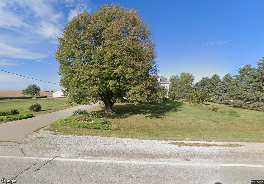
5585 Wapsi Ave SE Lone Tree, IA 52755
Estimated Value: $268,000 - $569,336
2
Beds
2
Baths
1,440
Sq Ft
$317/Sq Ft
Est. Value
About This Home
This home is located at 5585 Wapsi Ave SE, Lone Tree, IA 52755 and is currently estimated at $456,779, approximately $317 per square foot. 5585 Wapsi Ave SE is a home located in Johnson County with nearby schools including Lone Tree Elementary School and Lone Tree Junior/Senior High School.
Create a Home Valuation Report for This Property
The Home Valuation Report is an in-depth analysis detailing your home's value as well as a comparison with similar homes in the area
Home Values in the Area
Average Home Value in this Area
Tax History Compared to Growth
Tax History
| Year | Tax Paid | Tax Assessment Tax Assessment Total Assessment is a certain percentage of the fair market value that is determined by local assessors to be the total taxable value of land and additions on the property. | Land | Improvement |
|---|---|---|---|---|
| 2025 | $5,252 | $443,700 | $79,000 | $364,700 |
| 2024 | $5,116 | $416,000 | $64,500 | $351,500 |
| 2023 | $4,928 | $416,000 | $64,500 | $351,500 |
| 2022 | $4,844 | $336,500 | $49,500 | $287,000 |
| 2021 | $4,528 | $341,100 | $54,100 | $287,000 |
| 2020 | $4,528 | $303,900 | $49,500 | $254,400 |
| 2019 | $4,730 | $305,300 | $49,500 | $255,800 |
| 2018 | $4,620 | $344,000 | $0 | $0 |
| 2017 | $4,594 | $351,700 | $77,400 | $274,300 |
| 2016 | $4,334 | $344,200 | $77,400 | $266,800 |
| 2015 | $4,334 | $344,200 | $77,400 | $266,800 |
| 2014 | $4,132 | $328,100 | $75,200 | $252,900 |
Source: Public Records
Map
Nearby Homes
- 0 520th St SE
- 745 N Perkins St
- 219 Taylor Dr
- 201 N Devoe St
- 221 W Commercial St
- 407 E Elm St
- 500 S Center St
- 203 W Dougherty Dr
- 106 Dorothy Ln
- 5888 Sand Rd SE
- 1118 120th St
- 121 Brady St
- 1092 Walnut Ave Unit 114 Bld D
- 41 Williams Cir
- 201 Sierra Park Dr
- 1049 Vine Ave
- 111 Oak Ridge Ave
- 5317 Oak Crest Hill Rd SE
- 5319 Oak Crest Hill Rd SE
- 5241 Oak Crest Hill Rd SE