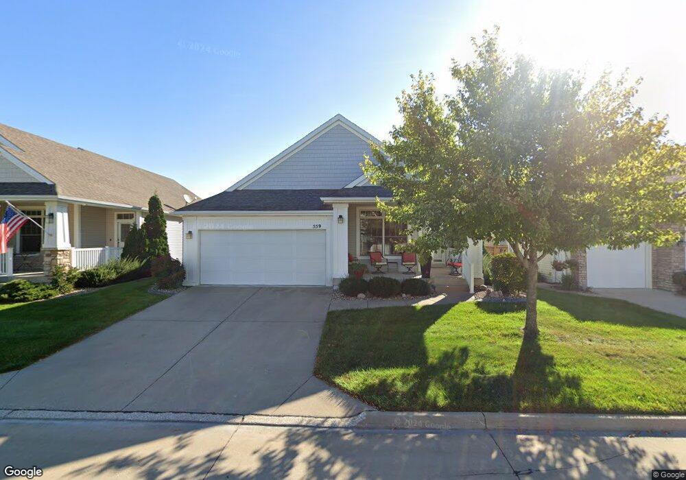
559 82nd St West Des Moines, IA 50266
Estimated Value: $345,000 - $547,000
3
Beds
2
Baths
1,617
Sq Ft
$270/Sq Ft
Est. Value
About This Home
This home is located at 559 82nd St, West Des Moines, IA 50266 and is currently estimated at $436,088, approximately $269 per square foot. 559 82nd St is a home located in Dallas County with nearby schools including Brookview Elementary School, South Middle School, and Prairieview Middle School.
Ownership History
Date
Name
Owned For
Owner Type
Purchase Details
Closed on
Oct 11, 2007
Sold by
Rottlund Homes Of Lowa Inc
Bought by
Love William R and Love Lona R
Current Estimated Value
Home Financials for this Owner
Home Financials are based on the most recent Mortgage that was taken out on this home.
Original Mortgage
$370,000
Outstanding Balance
$220,796
Interest Rate
5.39%
Mortgage Type
Assumption
Estimated Equity
$215,292
Create a Home Valuation Report for This Property
The Home Valuation Report is an in-depth analysis detailing your home's value as well as a comparison with similar homes in the area
Home Values in the Area
Average Home Value in this Area
Purchase History
| Date | Buyer | Sale Price | Title Company |
|---|---|---|---|
| Love William R | $370,500 | None Available |
Source: Public Records
Mortgage History
| Date | Status | Borrower | Loan Amount |
|---|---|---|---|
| Open | Love William R | $370,000 |
Source: Public Records
Tax History Compared to Growth
Tax History
| Year | Tax Paid | Tax Assessment Tax Assessment Total Assessment is a certain percentage of the fair market value that is determined by local assessors to be the total taxable value of land and additions on the property. | Land | Improvement |
|---|---|---|---|---|
| 2024 | $7,086 | $417,600 | $60,000 | $357,600 |
| 2023 | $7,086 | $417,600 | $60,000 | $357,600 |
| 2022 | $6,724 | $387,280 | $60,000 | $327,280 |
| 2021 | $6,724 | $372,350 | $55,000 | $317,350 |
| 2020 | $6,416 | $344,540 | $55,000 | $289,540 |
| 2019 | $6,650 | $344,540 | $55,000 | $289,540 |
| 2018 | $6,650 | $340,280 | $55,000 | $285,280 |
| 2017 | $6,684 | $340,280 | $55,000 | $285,280 |
| 2016 | $6,284 | $333,660 | $55,000 | $278,660 |
| 2015 | $6,096 | $321,740 | $0 | $0 |
| 2014 | $5,920 | $321,740 | $0 | $0 |
Source: Public Records
Map
Nearby Homes
- 8350 Ep True Pkwy Unit 3106
- 8350 Ep True Pkwy Unit 4104
- 8350 Ep True Pkwy Unit 3306
- 8350 Ep True Pkwy Unit 1103
- 8305 Century Dr
- 575 85th St
- 8170 Century Dr
- 8610 Ep True Pkwy Unit 6008
- 8610 Ep True Pkwy Unit 14002
- 8610 Ep True Pkwy Unit 7006
- 850 84th St
- 210 80th St Unit 104
- 748 76th St
- 7625 Escalade Ct
- 203 79th St
- 222 Bridgewood Dr
- 8580 Ashworth Rd
- 180 Bridgewood Dr
- 160 80th St Unit 103
- 916 Peak Dr