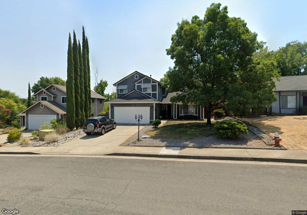
559 Brock Dr Redding, CA 96003
North Hilltop NeighborhoodEstimated Value: $321,198 - $383,000
About This Home
This home is located at 559 Brock Dr, Redding, CA 96003 and is currently estimated at $347,550, approximately $253 per square foot. 559 Brock Dr is a home located in Shasta County with nearby schools including Turtle Bay, Sequoia Middle School, and Shasta High School.
Ownership History
We collect this data history from publicly available records. To have your information removed, we recommend requesting removal directly through your county’s website.
Purchase Details
Purchase Details
Purchase Details
Home Financials for this Owner
Home Financials are based on the most recent Mortgage that was taken out on this home.Home Values in the Area
Average Home Value in this Area
Purchase History
We collect this data history from publicly available records. To have your information removed, we recommend requesting removal directly through your county’s website.
| Date | Buyer | Sale Price | Title Company |
|---|---|---|---|
| -- | None Listed On Document | ||
| -- | -- | ||
| $109,000 | Placer Title Company |
Mortgage History
We collect this data history from publicly available records. To have your information removed, we recommend requesting removal directly through your county’s website.
| Date | Status | Borrower | Loan Amount |
|---|---|---|---|
| Previous Owner | $53,000 |
Tax History
We collect this data history from publicly available records. To have your information removed, we recommend requesting removal directly through your county’s website.
| Year | Tax Paid | Tax Assessment Tax Assessment Total Assessment is a certain percentage of the fair market value that is determined by local assessors to be the total taxable value of land and additions on the property. | Land | Improvement |
|---|---|---|---|---|
| 2025 | $1,681 | $167,508 | $38,413 | $129,095 |
| 2024 | $1,653 | $164,224 | $37,660 | $126,564 |
| 2023 | $1,653 | $161,005 | $36,922 | $124,083 |
| 2022 | $1,624 | $157,849 | $36,199 | $121,650 |
| 2021 | $1,689 | $154,755 | $35,490 | $119,265 |
| 2020 | $1,634 | $153,170 | $35,127 | $118,043 |
| 2019 | $1,550 | $150,168 | $34,439 | $115,729 |
| 2018 | $1,563 | $147,224 | $33,764 | $113,460 |
| 2017 | $1,553 | $144,338 | $33,102 | $111,236 |
| 2016 | $1,502 | $141,508 | $32,453 | $109,055 |
| 2015 | $1,482 | $139,383 | $31,966 | $107,417 |
| 2014 | $1,470 | $136,653 | $31,340 | $105,313 |
Map
- 520 Vansicklen Way
- 608 Saint Thomas Pkwy
- 505 Martinique Cir
- 318 Woodhill Dr
- 410 Ridgecrest Trail Unit 129
- 426 Ridgecrest Trail Unit 223
- 488 Ridgecrest Trail Unit 231
- 488 Ridgecrest Trail Unit 133
- 249 Ridgetop Dr Unit 141
- 200 Ridgetop Dr Unit 22
- 780 Teakwood Dr
- 520 Mission de Oro Dr
- 767 Doral Trail
- 724 Oakhurst Trail
- 653 Mission de Oro Dr
- 811 Tanglewood Dr
- 372 Stinson Loop
- 650 Mill Valley Pkwy
- 469 Belvedere Dr
- 1026 Palisades Ave
- 512 Shell Dr
- 520 Shell Dr
- 565 Shoemaker Ct
- 468 Shell Dr
- 534 Shell Dr
- 558 Shoemaker Ct
- 529 Shell Dr
- 551 Shoemaker Ct
- 503 Shell Dr
- 544 Shoemaker Ct
- 479 Shell Dr
- 446 Shell Dr Unit 1
- 446 Shell Dr
- 546 Shell Dr Unit 1
- 546 Shell Dr
- 567 Shell Dr
- 457 Shell Dr
- 560 Vansicklen Way
- 537 Shoemaker Ct
- 530 Shoemaker Ct
Ask me questions while you tour the home.