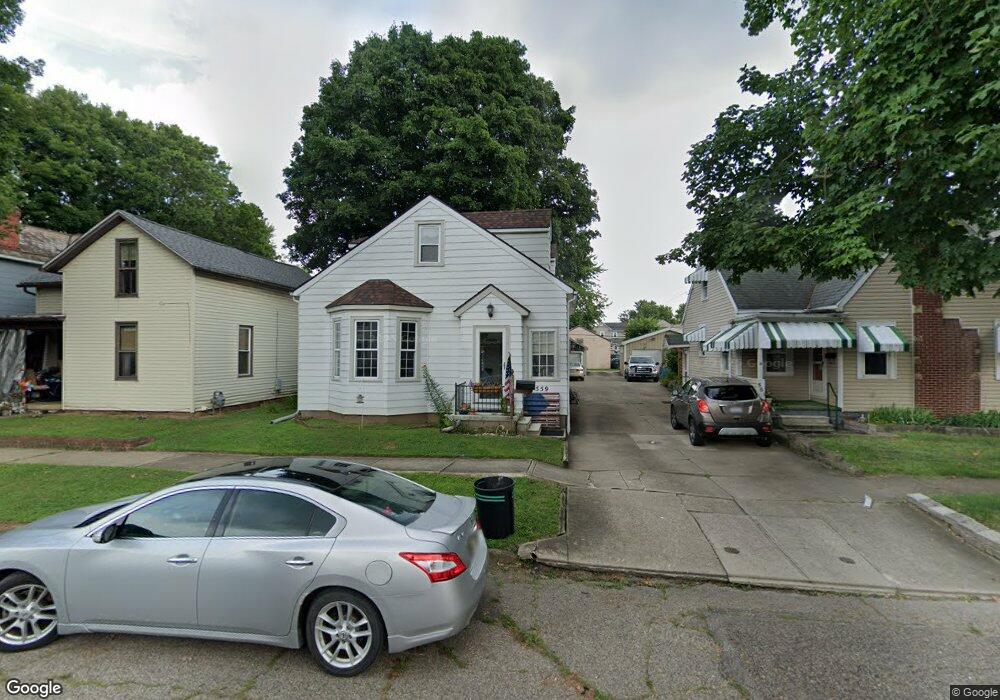
559 E Walnut St Lancaster, OH 43130
Estimated Value: $172,000 - $196,000
2
Beds
2
Baths
1,217
Sq Ft
$153/Sq Ft
Est. Value
About This Home
This home is located at 559 E Walnut St, Lancaster, OH 43130 and is currently estimated at $186,027, approximately $152 per square foot. 559 E Walnut St is a home located in Fairfield County with nearby schools including Thomas Ewing Junior High School, Lancaster High School, and St Mary Elementary School.
Ownership History
Date
Name
Owned For
Owner Type
Purchase Details
Closed on
Feb 25, 2019
Sold by
Townsend John H and Townsend Claire Sue
Bought by
Townsend John H and Townsend Claire Sue
Current Estimated Value
Purchase Details
Closed on
Jun 28, 2007
Sold by
Boch Gary E and Boch Cindy J
Bought by
Townsend John H and Townsend Claire Sue
Home Financials for this Owner
Home Financials are based on the most recent Mortgage that was taken out on this home.
Original Mortgage
$57,500
Interest Rate
6.37%
Mortgage Type
Purchase Money Mortgage
Create a Home Valuation Report for This Property
The Home Valuation Report is an in-depth analysis detailing your home's value as well as a comparison with similar homes in the area
Home Values in the Area
Average Home Value in this Area
Purchase History
| Date | Buyer | Sale Price | Title Company |
|---|---|---|---|
| Townsend John H | -- | None Available | |
| Townsend John H | $92,500 | Valmer Land Title Agency |
Source: Public Records
Mortgage History
| Date | Status | Borrower | Loan Amount |
|---|---|---|---|
| Closed | Townsend John H | $57,500 |
Source: Public Records
Tax History
| Year | Tax Paid | Tax Assessment Tax Assessment Total Assessment is a certain percentage of the fair market value that is determined by local assessors to be the total taxable value of land and additions on the property. | Land | Improvement |
|---|---|---|---|---|
| 2025 | $3,768 | $60,990 | $15,540 | $45,450 |
| 2024 | $3,768 | $41,910 | $6,220 | $35,690 |
| 2023 | $1,524 | $41,910 | $6,220 | $35,690 |
| 2022 | $1,530 | $41,910 | $6,220 | $35,690 |
| 2021 | $1,358 | $34,830 | $6,220 | $28,610 |
| 2020 | $1,317 | $34,830 | $6,220 | $28,610 |
| 2019 | $1,268 | $34,830 | $6,220 | $28,610 |
| 2018 | $1,096 | $26,630 | $6,220 | $20,410 |
| 2017 | $1,096 | $28,560 | $6,220 | $22,340 |
| 2016 | $1,068 | $28,560 | $6,220 | $22,340 |
| 2015 | $1,065 | $27,630 | $6,220 | $21,410 |
| 2014 | $1,016 | $27,630 | $6,220 | $21,410 |
| 2013 | $1,016 | $27,630 | $6,220 | $21,410 |
Source: Public Records
Map
Nearby Homes
- 515 E Chestnut St
- 414 E Walnut St
- 545 E Main St
- 342 E Chestnut St
- 534 E Wheeling St
- 547 E Mulberry St
- 621 E Mulberry St
- 249 N Pearl Ave
- 154 E Main St
- 846 E Main St
- 641 King St
- 844 E Wheeling St
- 517 N Maple St
- 859 E Mulberry St
- 869 E Mulberry St
- 1106 E Walnut St
- 1113 E Locust St
- 810 4th St
- 0 N Columbus St
- 924 Woodland Ave
- 561 E Walnut St
- 555 E Walnut St
- 565 E Walnut St
- 551 E Walnut St
- 569 E Walnut St
- 547 E Walnut St
- 219 S Mount Pleasant Ave
- 219 S Mount Pleasant Ave
- 217 S Mount Pleasant Ave
- 543 E Walnut St
- 215 1/2 S Mount Pleasant Ave
- 215 S Mount Pleasant Ave
- 215 S Mount Pleasant Ave
- 550 E Walnut St
- 558 E Walnut St
- 539 E Walnut St
- 560 E Walnut St
- 554 E Walnut St
- 562 E Walnut St
- 564 E Walnut St
Your Personal Tour Guide
Ask me questions while you tour the home.