Estimated Value: $71,835 - $211,000
Studio
1
Bath
600
Sq Ft
$207/Sq Ft
Est. Value
About This Home
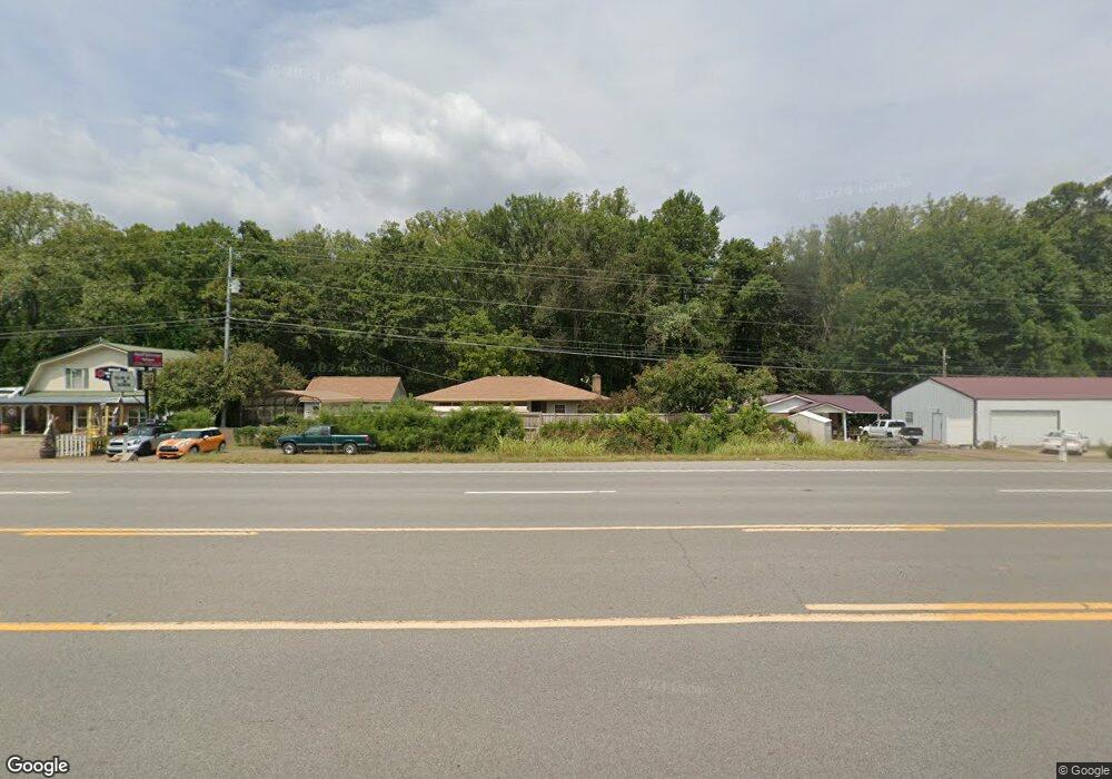
This home is located at 559 Highway 79, Dover, TN 37058 and is currently estimated at $124,209, approximately $207 per square foot. 559 Highway 79 is a home located in Stewart County with nearby schools including North Stewart Elementary School, Stewart County Middle School, and Stewart County High School.
Ownership History
Date
Name
Owned For
Owner Type
Purchase Details
Closed on
Jun 10, 2008
Sold by
David Bumpus
Bought by
Taylor Robert G
Current Estimated Value
Purchase Details
Closed on
Aug 16, 2007
Sold by
Kenneth Collins
Bought by
David Bumpus
Purchase Details
Closed on
Sep 9, 2006
Bought by
Kenneth Collins
Purchase Details
Closed on
Aug 30, 2001
Bought by
Wallace David W
Purchase Details
Closed on
May 15, 1998
Bought by
Parks Charles and Parks Daphyne
Purchase Details
Closed on
Dec 31, 1979
Bought by
Gerhard Carlton Allen and Gerhard Opal
Create a Home Valuation Report for This Property
The Home Valuation Report is an in-depth analysis detailing your home's value as well as a comparison with similar homes in the area
Purchase History
We collect this data history from publicly available records. To have your information removed, we recommend requesting removal directly through your county’s website.
| Date | Buyer | Sale Price | Title Company |
|---|---|---|---|
| Taylor Robert G | $32,000 | -- | |
| David Bumpus | $17,500 | -- | |
| Kenneth Collins | $17,500 | -- | |
| Wallace David W | $24,000 | -- | |
| Parks Charles | -- | -- | |
| Gerhard Carlton Allen | -- | -- |
Source: Public Records
Tax History
| Year | Tax Paid | Tax Assessment Tax Assessment Total Assessment is a certain percentage of the fair market value that is determined by local assessors to be the total taxable value of land and additions on the property. | Land | Improvement |
|---|---|---|---|---|
| 2025 | $227 | $15,300 | $1,725 | $13,575 |
| 2024 | $227 | $15,300 | $1,725 | $13,575 |
| 2023 | $218 | $9,225 | $1,150 | $8,075 |
| 2022 | $218 | $9,225 | $1,150 | $8,075 |
| 2021 | $218 | $9,225 | $1,150 | $8,075 |
| 2020 | $227 | $9,225 | $1,150 | $8,075 |
| 2019 | $227 | $8,925 | $1,150 | $7,775 |
| 2018 | $227 | $8,925 | $1,150 | $7,775 |
| 2017 | $221 | $8,925 | $1,150 | $7,775 |
| 2016 | $221 | $8,675 | $1,150 | $7,525 |
| 2015 | $214 | $8,675 | $1,150 | $7,525 |
| 2014 | $216 | $8,675 | $1,150 | $7,525 |
| 2013 | $216 | $8,745 | $0 | $0 |
Source: Public Records
Map
Nearby Homes
- 162 Bagsby Hill Ln
- 683 Highway 79
- 785 Old Highway 79 Unit 785
- 1102 Highway 79 Unit 1110
- 108 N Scenic Shore Dr
- 200 Hood St
- 1102 Hwy 79
- 151 Rose Dr
- 143 Rose Dr Unit D
- 419 Church St
- 2 Trin Hill Dr
- 105 Rose Dr
- 232 Church St
- 209 Church St
- 0 Refuge South Rd Unit 78
- 0 Castle Ln
- 164 Lewis Cir
- 1 Church St
- 203 Whispering Hills Dr
- 216 Patrick Dr
- 557 Highway 79
- 547 Highway 79
- 539 Highway 79
- 0 Freeman Fielder Rd Unit 1992630
- 127 Bagsby Hill Rd
- 115 Vick Rd
- 108 Shady Rest Rd
- 162 Bagsby Hill Ln Unit 172
- 504 Highway 79
- 158 Bagsby Hill Ln
- 171 Bagsby Hill Ln
- 107 Vick Rd
- 152 Bagsby Hill Ln
- 148 Bagsby Hill Ln
- 163 Bagsby Hill Ln
- 159 Bagsby Hill Ln
- 204 Bumpus Mills Rd
- 144 Bagsby Hill Ln
- 484 Highway 79
- 151 Bagsby Hill Ln
Your Personal Tour Guide
Ask me questions while you tour the home.