559 Knight Campground Rd Shelbyville, TN 37160
Estimated Value: $590,000 - $643,036
--
Bed
3
Baths
2,783
Sq Ft
$222/Sq Ft
Est. Value
About This Home
This home is located at 559 Knight Campground Rd, Shelbyville, TN 37160 and is currently estimated at $616,518, approximately $221 per square foot. 559 Knight Campground Rd is a home located in Bedford County with nearby schools including Liberty Elementary School.
Ownership History
Date
Name
Owned For
Owner Type
Purchase Details
Closed on
Jan 16, 2012
Sold by
Gambill Paul D
Bought by
Roddy Paula Gambill and Roddy Kevin Thomas
Current Estimated Value
Purchase Details
Closed on
May 18, 2006
Sold by
Vaught Stanley P
Bought by
Gambill Paul D
Purchase Details
Closed on
Mar 18, 2000
Sold by
Carter Jakie L
Bought by
Gambill Paul D and Gambill Judy F
Purchase Details
Closed on
Jun 15, 1998
Sold by
Hunter Jack
Bought by
Gambill Paul D and Gambill Judy F
Purchase Details
Closed on
Sep 1, 1978
Bought by
Gambill Paul D and Gambill Judy F
Create a Home Valuation Report for This Property
The Home Valuation Report is an in-depth analysis detailing your home's value as well as a comparison with similar homes in the area
Home Values in the Area
Average Home Value in this Area
Purchase History
| Date | Buyer | Sale Price | Title Company |
|---|---|---|---|
| Roddy Paula Gambill | $20,000 | -- | |
| Gambill Paul D | $28,762 | -- | |
| Gambill Paul D | $30,000 | -- | |
| Gambill Paul D | $58,500 | -- | |
| Gambill Paul D | -- | -- |
Source: Public Records
Tax History Compared to Growth
Tax History
| Year | Tax Paid | Tax Assessment Tax Assessment Total Assessment is a certain percentage of the fair market value that is determined by local assessors to be the total taxable value of land and additions on the property. | Land | Improvement |
|---|---|---|---|---|
| 2025 | $2,154 | $92,650 | $0 | $0 |
| 2024 | $2,154 | $92,650 | $29,600 | $63,050 |
| 2023 | $2,154 | $92,650 | $29,600 | $63,050 |
| 2022 | $2,154 | $92,650 | $29,600 | $63,050 |
| 2021 | $1,821 | $92,650 | $29,600 | $63,050 |
| 2020 | $1,696 | $92,650 | $29,600 | $63,050 |
| 2019 | $1,696 | $63,775 | $25,100 | $38,675 |
| 2018 | $1,633 | $63,775 | $25,100 | $38,675 |
| 2017 | $1,633 | $63,775 | $25,100 | $38,675 |
| 2016 | $1,607 | $63,775 | $0 | $0 |
| 2015 | $1,607 | $63,775 | $0 | $0 |
| 2014 | $1,320 | $58,136 | $0 | $0 |
Source: Public Records
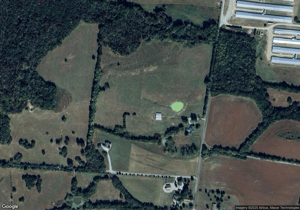
Map
Nearby Homes
- 0 Knight Campground Rd
- 3 Knight Campground Rd
- 8 Farris Ln
- 0 Dixon Rd Unit RTC3045417
- 321 Dixon Rd
- 7 Dixon Rd
- 12 Dixon Rd
- 1617 Highway 130 W
- 422 Bethlehem Church Rd
- 0 Adams Hollow Rd
- 395 Harrison Rd
- 388 Coble Rd
- 1261 Highway 130 W
- 163 Gant Rd
- 1106 Highway 130 W
- 384 Adams Rd
- 392 Adams Rd
- 332 Coble Rd
- 2028 Highway 64 W
- 143 Coble Rd
- 496 Knight Campground Rd
- 552 Knight Campground Rd
- 200 Lane Pkwy
- 301 Billy Darnell Ln
- 364 Knight Campground Rd
- 733 Knight Campground Rd
- 450 Knight Campground Rd
- 380 Knight Campground Rd
- 138 Patriot Cir
- 161 Uselton Rd
- 134 Patriot Cir
- 745 Knight Campground Rd
- 749 Knight Campground Rd
- 750 Knight Campground Rd
- 142 Patriot Cir
- 130 Patriot Cir
- 142 Patriot Cir
- 399 Dixon Rd
- 126 Patriot Cir
- 146 Patriot Cir