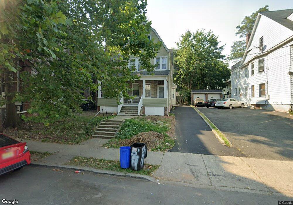
559 Sanford Ave Unit 561 Newark, NJ 07106
Upper Vailsburg NeighborhoodEstimated Value: $523,371 - $692,000
--
Bed
--
Bath
3,161
Sq Ft
$188/Sq Ft
Est. Value
About This Home
This home is located at 559 Sanford Ave Unit 561, Newark, NJ 07106 and is currently estimated at $594,593, approximately $188 per square foot. 559 Sanford Ave Unit 561 is a home located in Essex County with nearby schools including Lincoln Elementary School, Mt. Vernon School, and Hawthorne Avenue Elementary School.
Ownership History
Date
Name
Owned For
Owner Type
Purchase Details
Closed on
Jul 26, 1990
Sold by
Battle Russell
Bought by
Hazel Marian and Hazel Carl
Current Estimated Value
Purchase Details
Closed on
Jul 17, 1990
Sold by
Hazel Maran and Hazel Battle,Marian
Bought by
Hazel Marian and Hazel Carl
Create a Home Valuation Report for This Property
The Home Valuation Report is an in-depth analysis detailing your home's value as well as a comparison with similar homes in the area
Home Values in the Area
Average Home Value in this Area
Purchase History
| Date | Buyer | Sale Price | Title Company |
|---|---|---|---|
| Hazel Marian | -- | -- | |
| Hazel Marian | -- | -- |
Source: Public Records
Tax History Compared to Growth
Tax History
| Year | Tax Paid | Tax Assessment Tax Assessment Total Assessment is a certain percentage of the fair market value that is determined by local assessors to be the total taxable value of land and additions on the property. | Land | Improvement |
|---|---|---|---|---|
| 2025 | $6,662 | $178,700 | $16,600 | $162,100 |
| 2024 | $6,662 | $178,700 | $16,600 | $162,100 |
| 2022 | $6,676 | $178,700 | $16,600 | $162,100 |
| 2021 | $6,673 | $178,700 | $16,600 | $162,100 |
| 2020 | $6,791 | $178,700 | $16,600 | $162,100 |
| 2019 | $6,721 | $178,700 | $16,600 | $162,100 |
| 2018 | $6,599 | $178,700 | $16,600 | $162,100 |
| 2017 | $6,362 | $178,700 | $16,600 | $162,100 |
| 2016 | $6,147 | $178,700 | $16,600 | $162,100 |
| 2015 | $5,913 | $178,700 | $16,600 | $162,100 |
| 2014 | $5,541 | $178,700 | $16,600 | $162,100 |
Source: Public Records
Map
Nearby Homes
- 20-22 Noll Place
- 513 Sanford Ave
- 109 Richelieu Terrace
- 311 Smith St
- 608-610 Sanford Ave
- 1080 18th Ave
- 1080-1084 18th Ave
- 15 Richelieu Place
- 95 Stuyvesant Ave Unit 2
- 20 Rockland Terrace Unit 22
- 153-157 Stuyvesant Ave
- 86 Mead St
- 126 Norwood St
- 124-126 Norwood St
- 79 Norwood St
- 19 Dover St
- 21-23 Eastern Pkwy
- 10 Lenox St
- 68 Richelieu Place Unit 70
- 44 Stuyvesant Ave
- 555-557 Sanford Ave
- 555 Sanford Ave Unit 557
- 1 Noll Place Unit 20, Newark, NJ 07106
- 1 Noll Place Unit 10
- 1 Noll Place Unit 4
- 1 Noll Place Unit 20
- 1 Noll Place Unit 16
- 1 Noll Place Unit 12
- 1 Noll Place Unit 2
- 1 Noll Place Unit 9
- 1 Noll Place Unit 8
- 1 Noll Place Unit 15
- 1 Noll Place Unit 1
- 1 Noll Place Unit 7
- 1 Noll Place Unit 6
- 1 Noll Place Unit 14
- 1 Noll Place Unit 13
- 1 Noll Place
- 1 Noll Place Unit 21
- 9 Noll Place