5590 Flint Trail Wyoming, MN 55092
Estimated Value: $367,707 - $403,000
3
Beds
2
Baths
1,152
Sq Ft
$329/Sq Ft
Est. Value
About This Home
This home is located at 5590 Flint Trail, Wyoming, MN 55092 and is currently estimated at $378,677, approximately $328 per square foot. 5590 Flint Trail is a home located in Chisago County with nearby schools including Wyoming Elementary School, Forest Lake Area High School, and Lakes International Language Academy Kinder Center.
Ownership History
Date
Name
Owned For
Owner Type
Purchase Details
Closed on
Mar 1, 2007
Sold by
Sbc Enterprises Of Forest Lake Llc
Bought by
Ramusson Alana M
Current Estimated Value
Purchase Details
Closed on
Jul 21, 2005
Sold by
Oas Mark G and Oas Sarah M
Bought by
Sbc Enterprises Of Forest Lake Llc
Purchase Details
Closed on
Oct 25, 2002
Sold by
Weiss William M and Weiss Laura N
Bought by
Oas Mark A and Oas Sara M
Purchase Details
Closed on
Aug 29, 1997
Sold by
Tuttle Rodney W and Tuttle Mavis M
Bought by
Weiss William M and Weiss Laura N
Create a Home Valuation Report for This Property
The Home Valuation Report is an in-depth analysis detailing your home's value as well as a comparison with similar homes in the area
Home Values in the Area
Average Home Value in this Area
Purchase History
| Date | Buyer | Sale Price | Title Company |
|---|---|---|---|
| Ramusson Alana M | $240,000 | -- | |
| Sbc Enterprises Of Forest Lake Llc | -- | -- | |
| Oas Mark A | $190,000 | -- | |
| Weiss William M | $115,000 | -- |
Source: Public Records
Tax History Compared to Growth
Tax History
| Year | Tax Paid | Tax Assessment Tax Assessment Total Assessment is a certain percentage of the fair market value that is determined by local assessors to be the total taxable value of land and additions on the property. | Land | Improvement |
|---|---|---|---|---|
| 2023 | $4,200 | $341,300 | $80,000 | $261,300 |
| 2022 | $4,200 | $331,200 | $80,000 | $251,200 |
| 2021 | $3,806 | $268,100 | $0 | $0 |
| 2020 | $3,800 | $253,100 | $64,000 | $189,100 |
| 2019 | $3,650 | $0 | $0 | $0 |
| 2018 | $3,238 | $0 | $0 | $0 |
| 2017 | $3,456 | $0 | $0 | $0 |
| 2016 | $4,204 | $0 | $0 | $0 |
| 2015 | $3,640 | $0 | $0 | $0 |
| 2014 | -- | $151,700 | $0 | $0 |
Source: Public Records
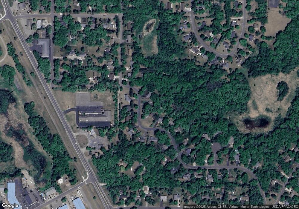
Map
Nearby Homes
- 26237 Forest Blvd N
- 5747 261st St
- 25686 Euclid Ave
- 25649 Forest Boulevard Ct
- 25874 Emerson Ct
- 25659 Forest Boulevard Ct
- 25850 Emerson Ct
- 25840 Emerson Ct
- 4885 262nd St
- 5042 258th Ct
- 25830 Emerson Ct
- 4880 261st St
- 4847 264th Ct
- 26953 Foxboro Ave
- 25775 Euclid Ave
- 4787 261st St
- 6213 267th Ct
- 25338 Farmstead Ln
- 4781 261st St
- 6215 Forest Boulevard Trail
- 5570 Flint Trail
- 5610 Flint Trail
- 5630 Flint Trail
- 5595 Flint Trail
- 5575 Flint Trail
- 5603 Flint Trail
- 5650 Flint Trail
- 5629 Flint Trail
- 26305 Finley Ave
- 5615 Flint Trail
- 5623 Flint Trail
- 5670 Flint Trail
- 5673 Flint Trail
- 26337 Finley Ave
- 26316 Finley Ave
- 5685 Flint Trail
- 26353 Finley Ave
- 26234 Flint Ct
- 5700 Flint Trail
- 26163 Forest Blvd