5590 N West Shore Dr Morgantown, IN 46160
Estimated Value: $205,165 - $245,000
3
Beds
1
Bath
1,100
Sq Ft
$204/Sq Ft
Est. Value
About This Home
This home is located at 5590 N West Shore Dr, Morgantown, IN 46160 and is currently estimated at $224,041, approximately $203 per square foot. 5590 N West Shore Dr is a home located in Brown County with nearby schools including Brown County High School.
Ownership History
Date
Name
Owned For
Owner Type
Purchase Details
Closed on
Nov 1, 2023
Sold by
Fisher Desiree Renee and Hinton Lisa Ann
Bought by
Hinton Lisa Ann
Current Estimated Value
Purchase Details
Closed on
Jun 26, 2015
Sold by
Knapp Janet S
Bought by
Worthington Audrey M
Home Financials for this Owner
Home Financials are based on the most recent Mortgage that was taken out on this home.
Original Mortgage
$65,500
Interest Rate
3.86%
Mortgage Type
New Conventional
Create a Home Valuation Report for This Property
The Home Valuation Report is an in-depth analysis detailing your home's value as well as a comparison with similar homes in the area
Home Values in the Area
Average Home Value in this Area
Purchase History
| Date | Buyer | Sale Price | Title Company |
|---|---|---|---|
| Hinton Lisa Ann | -- | None Listed On Document | |
| Worthington Audrey M | -- | Attorney |
Source: Public Records
Mortgage History
| Date | Status | Borrower | Loan Amount |
|---|---|---|---|
| Previous Owner | Worthington Audrey M | $65,500 |
Source: Public Records
Tax History Compared to Growth
Tax History
| Year | Tax Paid | Tax Assessment Tax Assessment Total Assessment is a certain percentage of the fair market value that is determined by local assessors to be the total taxable value of land and additions on the property. | Land | Improvement |
|---|---|---|---|---|
| 2024 | $147 | $155,000 | $16,300 | $138,700 |
| 2023 | $180 | $145,700 | $13,000 | $132,700 |
| 2022 | $211 | $145,500 | $13,000 | $132,500 |
| 2021 | $176 | $133,900 | $11,400 | $122,500 |
| 2020 | $150 | $128,800 | $9,800 | $119,000 |
| 2019 | $154 | $128,100 | $9,800 | $118,300 |
| 2018 | $183 | $128,100 | $9,800 | $118,300 |
| 2017 | $164 | $117,900 | $9,800 | $108,100 |
| 2016 | $158 | $117,900 | $9,800 | $108,100 |
| 2014 | $280 | $87,600 | $9,800 | $77,800 |
| 2013 | $280 | $85,900 | $9,800 | $76,100 |
Source: Public Records
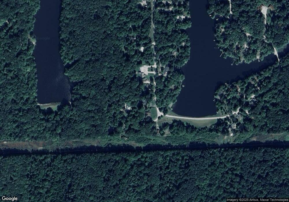
Map
Nearby Homes
- 5821 N Bittersweet Rd
- 5175 Bean Blossom Rd
- 0 Gatesville Rd Unit MBR22062746
- 0 Tract #8 Smith Rd
- 0, Tract #7 Smith Rd
- 0 Tract #6 Smith Rd
- 5994 Pine Tree Ln
- 0 Tract #3 Sprunica Rd
- 0 Beanblossom Rd Unit MBR22059702
- 1058 Freeman Ridge Rd
- 3740 Smith Rd
- 4837 Covered Bridge Rd
- 5972 Hidden Lake Ln
- 4168 Sprunica Rd
- 7847 Bean Blossom Rd
- 2289 Twinlake Rd
- 6412 N Stinson Rd
- 7258 N Richardson Dr
- 3047 Grandma Barnes Rd
- 8942 Bean Blossom Rd
- 5590 W Shore Dr
- 1988 E South Shore Dr
- 1940 E South Shore Dr
- 5620 N West Shore Dr
- 5620 N West Shore Dr
- 1989 E South Shore Dr
- 1922 S Shore Woodland Lake Dr
- 5632 N West Shore Dr
- 5642 N West Shore Dr
- 5646 N West Shore Dr
- 1949 E South Shore Dr
- 5657 N West Shore Dr
- 5688 N West Shore Dr
- 5681 W Shore Dr N
- 5681 N West Shore Dr
- 0 E South Shore Dr Unit MBR2457164
- 0 E South Shore Dr Unit MBR2428337
- 5695 N West Shore Dr
- 5674 N West Shore Dr