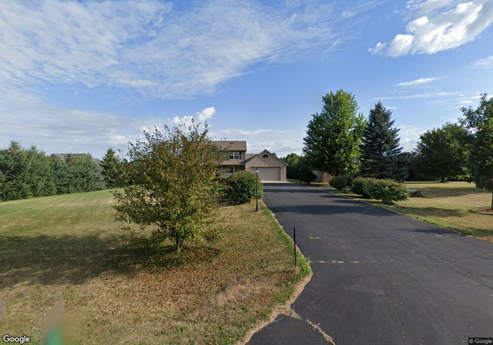
5590 W Clark Rd Lansing, MI 48906
Estimated Value: $456,361 - $532,000
4
Beds
3
Baths
2,772
Sq Ft
$179/Sq Ft
Est. Value
About This Home
This home is located at 5590 W Clark Rd, Lansing, MI 48906 and is currently estimated at $497,340, approximately $179 per square foot. 5590 W Clark Rd is a home located in Clinton County with nearby schools including Wacousta Elementary School, Leon W. Hayes Middle School, and Grand Ledge High School.
Ownership History
Date
Name
Owned For
Owner Type
Purchase Details
Closed on
Jun 3, 2024
Sold by
Baker Mark R and Baker Wendy L
Bought by
Mark R Baker And Wendy L Baker Revocable Livi and Baker
Current Estimated Value
Create a Home Valuation Report for This Property
The Home Valuation Report is an in-depth analysis detailing your home's value as well as a comparison with similar homes in the area
Home Values in the Area
Average Home Value in this Area
Purchase History
| Date | Buyer | Sale Price | Title Company |
|---|---|---|---|
| Mark R Baker And Wendy L Baker Revocable Livi | -- | None Listed On Document |
Source: Public Records
Tax History Compared to Growth
Tax History
| Year | Tax Paid | Tax Assessment Tax Assessment Total Assessment is a certain percentage of the fair market value that is determined by local assessors to be the total taxable value of land and additions on the property. | Land | Improvement |
|---|---|---|---|---|
| 2025 | $5,407 | $207,850 | $30,550 | $177,300 |
| 2024 | $1,694 | $195,100 | $27,800 | $167,300 |
| 2023 | $1,604 | $186,250 | $0 | $0 |
| 2022 | $4,808 | $168,250 | $27,100 | $141,150 |
| 2021 | $4,639 | $163,600 | $27,200 | $136,400 |
| 2020 | $4,392 | $154,850 | $25,700 | $129,150 |
| 2019 | $3,951 | $145,050 | $24,350 | $120,700 |
| 2018 | $3,617 | $137,250 | $22,700 | $114,550 |
| 2017 | $3,356 | $138,050 | $22,400 | $115,650 |
| 2016 | $3,356 | $132,850 | $21,700 | $111,150 |
| 2015 | $3,560 | $119,750 | $0 | $0 |
| 2011 | -- | $119,900 | $0 | $0 |
Source: Public Records
Map
Nearby Homes
- 6157 W Stoll Rd
- 15240 Nottingham Fields Pkwy
- 15080 Loxley Ln Unit 21
- 00 Driftwood Dr
- 0 Driftwood Dr
- 15250 Nottingham Fields Pkwy
- 15260 Nottingham Fields Pkwy
- 15292 Sherwood Ln
- 15347 Sherwood Ln
- 15332 Sherwood Ln
- 15312 Sherwood Ln
- 15277 Sherwood Ln
- 15317 Sherwood Ln
- 12733 Ospreys Way
- 12684 Airport Rd
- 4270 Calipso Ct
- V/L N Grove
- 15895 Turnberry St
- 7895 W Herbison Rd
- 1511 Waxwing Dr
- 5640 W Clark Rd
- 5540 W Clark Rd
- 5660 W Clark Rd
- 5501 W Clark Rd
- 5500 W Clark Rd
- 5760 W Clark Rd
- 5490 W Clark Rd
- 5780 W Clark Rd
- 5779 W Clark Rd
- 5800 W Clark Rd
- 5855 W Clark Rd
- 5820 W Clark Rd
- 5770 W Clark Rd
- 5865 W Clark Rd
- 5401 W Clark Rd
- 5885 W Clark Rd
- 5300 W Clark Rd
- 5991 W Clark Rd
- 5252 W Clark Rd
- 14001 S Lowell Rd