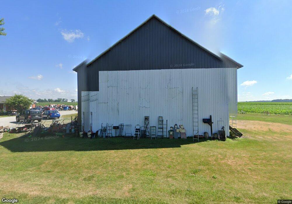
5593 W State Route 41 Covington, OH 45318
Estimated Value: $188,000 - $271,000
5
Beds
2
Baths
2,473
Sq Ft
$99/Sq Ft
Est. Value
About This Home
This home is located at 5593 W State Route 41, Covington, OH 45318 and is currently estimated at $243,819, approximately $98 per square foot. 5593 W State Route 41 is a home located in Miami County with nearby schools including Covington Elementary/Junior High School, Covington Junior High School, and Covington High School.
Ownership History
Date
Name
Owned For
Owner Type
Purchase Details
Closed on
Feb 13, 2018
Sold by
Lankford Roger P
Bought by
Martinez Darren M
Current Estimated Value
Purchase Details
Closed on
Aug 11, 2016
Sold by
Thomas Steve E and Thomas Charlotte A
Bought by
Lankford Roger P
Purchase Details
Closed on
Oct 13, 2004
Sold by
Stern Charles E and Stern Anita K
Bought by
Thomas Steve E and Thomas Charlotte A
Purchase Details
Closed on
Apr 20, 2004
Sold by
Locust Street Development Llc
Bought by
Stern Charles E and Stern Anita K
Purchase Details
Closed on
Jan 27, 2004
Sold by
Associates Financial Services Corp
Bought by
Locust Street Development Llc
Purchase Details
Closed on
Nov 13, 2003
Sold by
Stanze Scott D
Bought by
Associates Financial Services Corp
Purchase Details
Closed on
Oct 8, 1999
Sold by
Reed Martin J and Reed Penny
Bought by
Stanze Scott and Stanze Susan
Purchase Details
Closed on
Apr 14, 1989
Bought by
Mcgillvary Ellis T
Create a Home Valuation Report for This Property
The Home Valuation Report is an in-depth analysis detailing your home's value as well as a comparison with similar homes in the area
Home Values in the Area
Average Home Value in this Area
Purchase History
| Date | Buyer | Sale Price | Title Company |
|---|---|---|---|
| Martinez Darren M | $110,000 | -- | |
| Lankford Roger P | $125,000 | Attorney | |
| Thomas Steve E | $85,000 | -- | |
| Stern Charles E | -- | -- | |
| Locust Street Development Llc | $74,000 | -- | |
| Associates Financial Services Corp | $73,334 | -- | |
| Stanze Scott | $92,000 | -- | |
| Mcgillvary Ellis T | $45,000 | -- |
Source: Public Records
Tax History Compared to Growth
Tax History
| Year | Tax Paid | Tax Assessment Tax Assessment Total Assessment is a certain percentage of the fair market value that is determined by local assessors to be the total taxable value of land and additions on the property. | Land | Improvement |
|---|---|---|---|---|
| 2024 | $2,016 | $57,550 | $10,960 | $46,590 |
| 2023 | $2,016 | $57,550 | $10,960 | $46,590 |
| 2022 | $2,042 | $57,550 | $10,960 | $46,590 |
| 2021 | $1,818 | $47,960 | $9,140 | $38,820 |
| 2020 | $1,822 | $47,960 | $9,140 | $38,820 |
| 2019 | $1,697 | $47,960 | $9,140 | $38,820 |
| 2018 | $925 | $26,640 | $9,070 | $17,570 |
| 2017 | $945 | $26,640 | $9,070 | $17,570 |
| 2016 | $930 | $26,640 | $9,070 | $17,570 |
| 2015 | $910 | $25,630 | $8,720 | $16,910 |
| 2014 | $910 | $25,630 | $8,720 | $16,910 |
| 2013 | $915 | $25,630 | $8,720 | $16,910 |
Source: Public Records
Map
Nearby Homes
- 219 Henry Ct
- 221 Henry Ct
- 207 Charles Ct
- 212 Charles Ct
- 210 Charles Ct
- 205 Charles Ct
- 208 Charles Ct
- 203 Charles Ct
- 201 Charles Ct
- 206 Charles Ct
- 204 Charles Ct
- 200 Charles Ct
- 202 Charles Ct
- 126 S Ludlow St
- 300 Debra St
- 4400 N Washington Rd
- 536 S High St
- 115 N Wenrick St
- 221 S High St
- 447 E Broadway St
- 5611 W State Route 41
- 5590 W State Route 41
- 5620 W State Route 41
- 3666 N Martin Rd
- 3510 N Martin Rd
- 5645 W Myers Rd
- 5665 W Myers Rd
- 5685 W Myers Rd
- 5821 W State Route 41
- 5711 W Myers Rd
- 5733 W Myers Rd
- 5785 W Myers Rd
- 5825 W Myers Rd
- 5855 W Myers Rd
- 5905 W State Route 41
- 5875 W Myers Rd
- 5930 W State Route 41
- 5925 W Myers Rd
- 5927 W State Route 41
- 5910 W State Route 41
