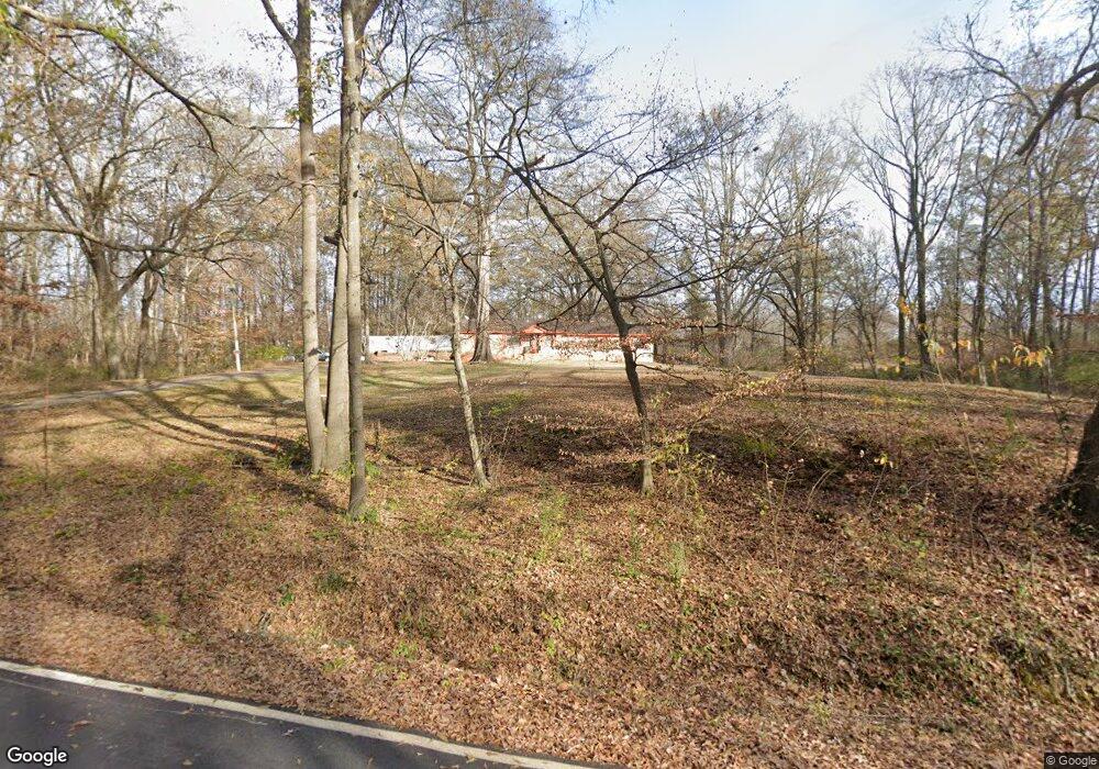
5594 Ramsey Rd Memphis, TN 38127
Estimated Value: $167,553 - $254,000
4
Beds
2
Baths
1,750
Sq Ft
$120/Sq Ft
Est. Value
About This Home
This home is located at 5594 Ramsey Rd, Memphis, TN 38127 and is currently estimated at $210,138, approximately $120 per square foot. 5594 Ramsey Rd is a home located in Shelby County with nearby schools including E.E. Jeter Elementary School and Trezevant High School.
Ownership History
Date
Name
Owned For
Owner Type
Purchase Details
Closed on
Mar 2, 2021
Sold by
Taylor Teresa
Bought by
Taylor Teresa and Hart Sam L
Current Estimated Value
Purchase Details
Closed on
Sep 29, 2016
Sold by
Houston Melvin G
Bought by
Houston Melvin G and Houston Jarvis E
Purchase Details
Closed on
Sep 1, 2015
Sold by
Martin Sheri H
Bought by
Taylor Teresa
Purchase Details
Closed on
Dec 29, 2009
Sold by
Houston Lopez and Houston Peggie
Bought by
Sims Vanessa Houston
Purchase Details
Closed on
Dec 17, 2009
Sold by
Houston Lopez and Houston Peggie D
Bought by
Houston Lopez
Create a Home Valuation Report for This Property
The Home Valuation Report is an in-depth analysis detailing your home's value as well as a comparison with similar homes in the area
Home Values in the Area
Average Home Value in this Area
Purchase History
| Date | Buyer | Sale Price | Title Company |
|---|---|---|---|
| Taylor Teresa | -- | None Available | |
| Houston Melvin G | -- | None Available | |
| Taylor Teresa | -- | Attorney | |
| Sims Vanessa Houston | $20,800 | None Available | |
| Houston Lopez | -- | None Available | |
| Houston Arthur | -- | None Available | |
| Houston Melvin G | -- | None Available |
Source: Public Records
Tax History Compared to Growth
Tax History
| Year | Tax Paid | Tax Assessment Tax Assessment Total Assessment is a certain percentage of the fair market value that is determined by local assessors to be the total taxable value of land and additions on the property. | Land | Improvement |
|---|---|---|---|---|
| 2025 | $1,089 | $32,900 | $10,575 | $22,325 |
| 2024 | -- | $32,125 | $10,050 | $22,075 |
| 2023 | $1,089 | $32,125 | $10,050 | $22,075 |
| 2022 | $1,089 | $32,125 | $10,050 | $22,075 |
| 2021 | $1,108 | $32,125 | $10,050 | $22,075 |
| 2020 | $747 | $18,450 | $10,050 | $8,400 |
| 2019 | $747 | $18,450 | $10,050 | $8,400 |
| 2018 | $747 | $18,450 | $10,050 | $8,400 |
| 2017 | $758 | $18,450 | $10,050 | $8,400 |
| 2016 | $769 | $17,600 | $0 | $0 |
| 2014 | $769 | $17,600 | $0 | $0 |
Source: Public Records
Map
Nearby Homes
- 6642 Benjestown Rd
- 635 Mcwhirter Ave
- 5921 Benjestown Rd
- 5315 Braden Dr
- 5382 Beaverton Dr
- 1 Robertson Rd
- 5306 Beaverton Dr
- 5423 Breckenwood Dr
- 497 Elmfield Cove
- 505 Elmfield Cove
- 5204 Black Diamond Cove
- 5140 Blacksmith Dr
- 5371 Cedar Bluff Dr
- 6007 Island Forty Rd
- 5072 Blacksmith Dr
- 5387 Cornstalk Cove
- 6224 Benjestown Rd
- 5096 Belfast Dr
- 810 Northaven Dr
- 5080 Breckenwood Dr
- 5560 Ramsey Rd
- 5539 Ramsey Rd
- 5570 Ramsey Rd
- 5658 Ramsey Rd
- 5586 Ramsey Rd
- 5464 Ramsey Rd
- 5774 Ramsey Rd
- 5393 Ramsey Rd
- 5382 Ramsey Rd
- 5796 Ramsey Rd
- 5375 Ramsey Rd
- 5797 Ramsey Rd
- 5359 Ramsey Rd
- 5830 Ramsey Rd
- 5350 Ramsey Rd
- 5325 Ramsey Rd
- 5875 Ramsey Rd
- 284 Singingwood Dr
- 220 Singingwood Dr
- 5850 Ramsey Rd
