Estimated Value: $291,000 - $328,000
3
Beds
2
Baths
1,394
Sq Ft
$221/Sq Ft
Est. Value
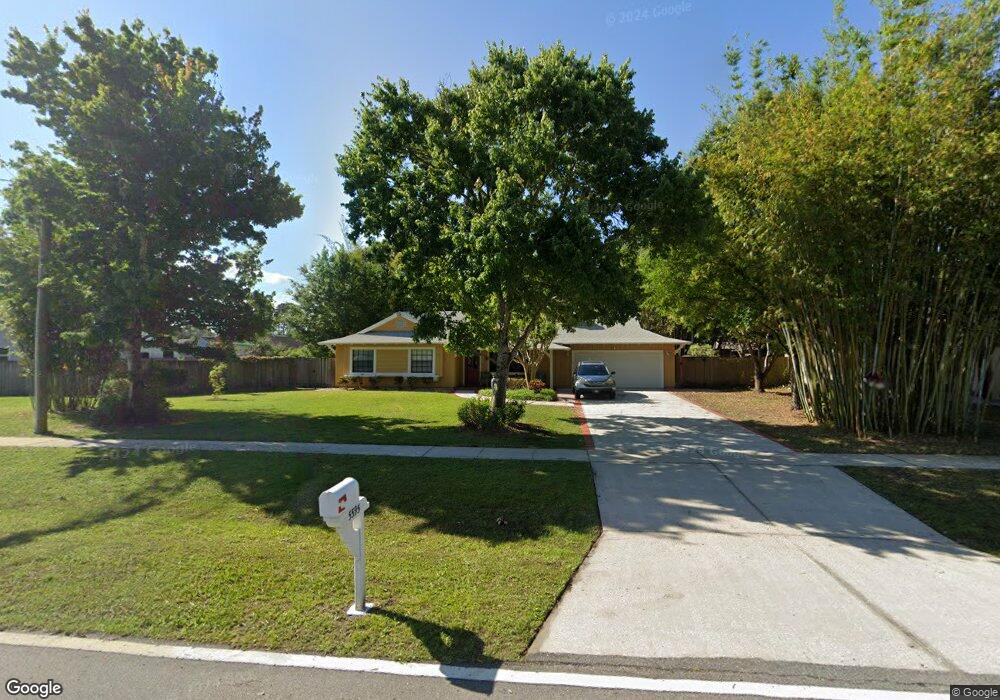
About This Home
This home is located at 5595 Falcon Blvd, Cocoa, FL 32927 and is currently estimated at $308,018, approximately $220 per square foot. 5595 Falcon Blvd is a home located in Brevard County with nearby schools including Enterprise Elementary School, Space Coast Junior/Senior High School, and Sculptor Charter School.
Ownership History
Date
Name
Owned For
Owner Type
Purchase Details
Closed on
Oct 23, 2015
Sold by
Kosar Ronald F and Kosar Andrea L
Bought by
Kyle Edward Dennis and Morrow Constance Kay
Current Estimated Value
Purchase Details
Closed on
Apr 23, 2001
Sold by
Dennis Morrow Constance K and Dennis Kyle Edward
Bought by
Dennis Morrow Constance K and Dennis Kyle Edward
Home Financials for this Owner
Home Financials are based on the most recent Mortgage that was taken out on this home.
Original Mortgage
$72,576
Interest Rate
6.98%
Mortgage Type
New Conventional
Purchase Details
Closed on
Apr 9, 1996
Sold by
Morrow Ronald L
Bought by
Morrow Constance K
Create a Home Valuation Report for This Property
The Home Valuation Report is an in-depth analysis detailing your home's value as well as a comparison with similar homes in the area
Home Values in the Area
Average Home Value in this Area
Purchase History
| Date | Buyer | Sale Price | Title Company |
|---|---|---|---|
| Kyle Edward Dennis | $8,500 | Island Title & Escrow Agency | |
| Dennis Morrow Constance K | $36,300 | -- | |
| Morrow Constance K | -- | -- |
Source: Public Records
Mortgage History
| Date | Status | Borrower | Loan Amount |
|---|---|---|---|
| Previous Owner | Dennis Morrow Constance K | $72,576 |
Source: Public Records
Tax History Compared to Growth
Tax History
| Year | Tax Paid | Tax Assessment Tax Assessment Total Assessment is a certain percentage of the fair market value that is determined by local assessors to be the total taxable value of land and additions on the property. | Land | Improvement |
|---|---|---|---|---|
| 2025 | $1,329 | $101,010 | -- | -- |
| 2024 | $1,294 | $98,170 | -- | -- |
| 2023 | $1,294 | $95,320 | $0 | $0 |
| 2022 | $1,203 | $92,550 | $0 | $0 |
| 2021 | $1,200 | $89,860 | $0 | $0 |
| 2020 | $1,149 | $88,620 | $0 | $0 |
| 2019 | $1,085 | $86,630 | $0 | $0 |
| 2018 | $933 | $75,210 | $0 | $0 |
| 2017 | $934 | $73,670 | $0 | $0 |
| 2016 | $943 | $72,160 | $18,000 | $54,160 |
| 2015 | $953 | $71,660 | $15,000 | $56,660 |
| 2014 | $958 | $71,100 | $11,000 | $60,100 |
Source: Public Records
Map
Nearby Homes
- 7230 Venus Ave
- 7065 Hundred Acre Dr
- TBD Freeport Rd
- 5730 Friendly St
- 7635 Fringe Place
- 7358 Crepe Myrtle Ct
- 7368 Crepe Myrtle Ct
- 7469 Hackberry Rd
- 7545 Fringe Place
- 5165 Patricia St
- 5155 Mayflower St
- 5130 Carter St
- 6760 Cairo Rd
- 5170 Everett St
- 6775 Buxton Ave
- 6615 Dock Ave
- 5200 Frisco St
- 6581 Bancroft Ave
- 7310 Joshua Place
- 7275 Durban Ave
- 5605 Falcon Blvd
- 5590 Datura St
- 5575 Falcon Blvd
- 5615 Falcon Blvd
- 5600 Datura St
- 7150 Oakwood Ave
- 5580 Datura St
- 5625 Falcon Blvd
- 7155 Bevil Ave
- 7080 Pluto Ave
- 5560 Datura St
- 7165 Oakwood Ave
- 7160 Oakwood Ave
- 5605 Datura St
- 5635 Falcon Blvd
- 5585 Datura St
- 5630 Datura St
- 5630 Datura St
- 7165 Bevil Ave
- 7150 Pluto Ave