5595 Long Branch Rd Tennessee Ridge, TN 37178
Estimated Value: $479,000 - $761,093
--
Bed
2
Baths
2,016
Sq Ft
$308/Sq Ft
Est. Value
About This Home
This home is located at 5595 Long Branch Rd, Tennessee Ridge, TN 37178 and is currently estimated at $620,047, approximately $307 per square foot. 5595 Long Branch Rd is a home located in Houston County.
Ownership History
Date
Name
Owned For
Owner Type
Purchase Details
Closed on
Dec 15, 2022
Sold by
Wolfe Clifford Keith and Wolfe Karen A
Bought by
Pulley Raymond
Current Estimated Value
Purchase Details
Closed on
Aug 15, 2014
Sold by
Irwin James A
Bought by
Wolfe Clifford K and Wolfe Karen A
Purchase Details
Closed on
May 1, 2013
Sold by
Irwin James A
Bought by
Cook John D and Cook Katherine H
Purchase Details
Closed on
Apr 22, 2013
Sold by
Cook John D
Bought by
Irwin James A
Purchase Details
Closed on
Sep 19, 2003
Bought by
Cook John D and Cook Katherine H
Purchase Details
Closed on
Feb 28, 1982
Bought by
Irwin James A
Purchase Details
Closed on
Dec 29, 1975
Bought by
Irwin James A
Create a Home Valuation Report for This Property
The Home Valuation Report is an in-depth analysis detailing your home's value as well as a comparison with similar homes in the area
Home Values in the Area
Average Home Value in this Area
Purchase History
| Date | Buyer | Sale Price | Title Company |
|---|---|---|---|
| Pulley Raymond | $40,000 | -- | |
| Wolfe Clifford K | $255,000 | -- | |
| Cook John D | -- | -- | |
| Irwin James A | -- | -- | |
| Cook John D | $300,600 | -- | |
| Irwin James A | -- | -- | |
| Irwin James A | -- | -- |
Source: Public Records
Tax History Compared to Growth
Tax History
| Year | Tax Paid | Tax Assessment Tax Assessment Total Assessment is a certain percentage of the fair market value that is determined by local assessors to be the total taxable value of land and additions on the property. | Land | Improvement |
|---|---|---|---|---|
| 2024 | $2,258 | $126,900 | $28,500 | $98,400 |
| 2023 | $2,258 | $126,900 | $28,500 | $98,400 |
| 2022 | $2,735 | $97,725 | $29,200 | $68,525 |
| 2021 | $2,735 | $97,725 | $29,200 | $68,525 |
| 2020 | $2,685 | $97,725 | $29,200 | $68,525 |
| 2019 | $2,685 | $84,175 | $23,600 | $60,575 |
| 2018 | $2,611 | $84,175 | $23,600 | $60,575 |
| 2017 | $1,042 | $32,650 | $20,275 | $12,375 |
| 2016 | $1,042 | $32,650 | $20,275 | $12,375 |
| 2015 | $1,042 | $32,650 | $20,275 | $12,375 |
| 2014 | -- | $32,653 | $0 | $0 |
Source: Public Records
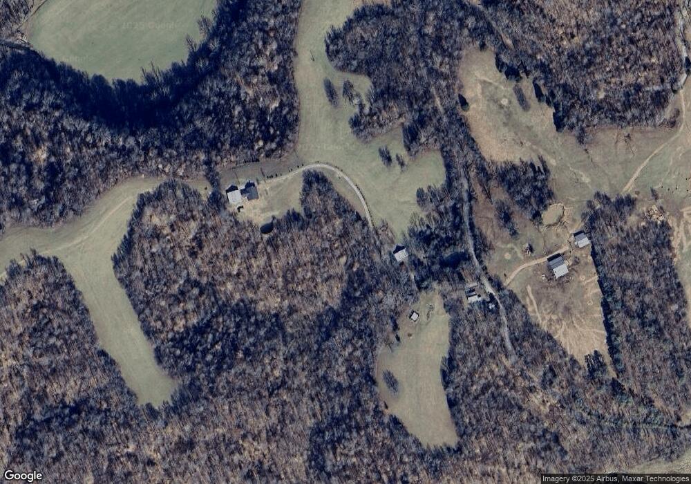
Map
Nearby Homes
- 0 Cooley Ford Rd Unit LotWP007 22557710
- 0 Cooley Ford Rd Unit RTC2974712
- 0 White Oak Rd Unit LotWP008 22557711
- 0 White Oak Rd Unit RTC2974711
- 0 White Oak Rd Unit RTC2974735
- 0 White Oak Rd Unit LotWP011 22557713
- 0 White Oak Rd Unit LotWP012 22557714
- 0 White Oak Rd Unit RTC2974718
- 0 White Oak Rd Unit LotWP010 22557712
- 0 White Oak Rd Unit RTC3050724
- 0 White Oak Rd Unit RTC2974736
- 0 White Oak Rd Unit RTC2974724
- 110 Peachtree St
- 1551 Tennessee Ridge Rd
- 0 W of Magnolia Rd Unit RTC2889836
- 155 Rolling Hills Dr
- 0 Carl Taylor Rd
- 0 Taylor St Unit RTC2764411
- 0 Taylor St Unit RTC2764420
- 0 Taylor St Unit RTC2764418