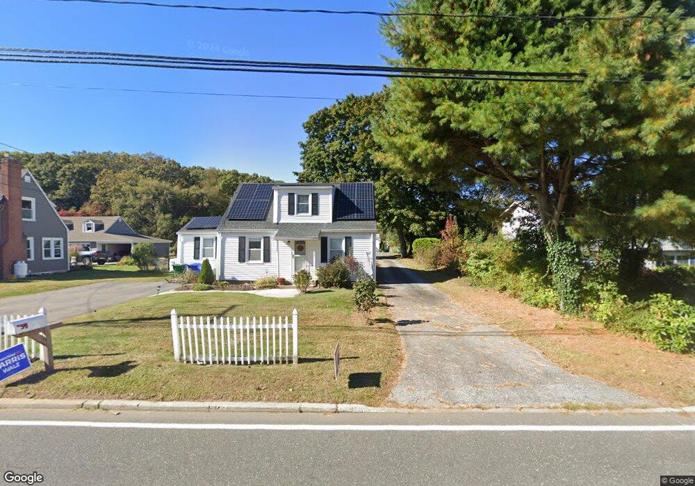
55R Fog Plain Rd Waterford, CT 06385
Estimated Value: $253,000 - $330,000
2
Beds
1
Bath
1,145
Sq Ft
$260/Sq Ft
Est. Value
About This Home
This home is located at 55R Fog Plain Rd, Waterford, CT 06385 and is currently estimated at $297,325, approximately $259 per square foot. 55R Fog Plain Rd is a home located in New London County with nearby schools including Clark Lane Middle School, Waterford High School, and New London High School Multi-Magnet Campus.
Ownership History
Date
Name
Owned For
Owner Type
Purchase Details
Closed on
Apr 1, 2011
Sold by
Romeo Mary J Est and Olmstead
Bought by
Tulloh Deborah S
Current Estimated Value
Home Financials for this Owner
Home Financials are based on the most recent Mortgage that was taken out on this home.
Original Mortgage
$118,000
Outstanding Balance
$82,317
Interest Rate
5.04%
Mortgage Type
Purchase Money Mortgage
Estimated Equity
$215,008
Create a Home Valuation Report for This Property
The Home Valuation Report is an in-depth analysis detailing your home's value as well as a comparison with similar homes in the area
Home Values in the Area
Average Home Value in this Area
Purchase History
| Date | Buyer | Sale Price | Title Company |
|---|---|---|---|
| Tulloh Deborah S | $147,200 | -- |
Source: Public Records
Mortgage History
| Date | Status | Borrower | Loan Amount |
|---|---|---|---|
| Open | Tulloh Deborah S | $118,000 |
Source: Public Records
Tax History Compared to Growth
Tax History
| Year | Tax Paid | Tax Assessment Tax Assessment Total Assessment is a certain percentage of the fair market value that is determined by local assessors to be the total taxable value of land and additions on the property. | Land | Improvement |
|---|---|---|---|---|
| 2025 | $3,155 | $135,080 | $50,410 | $84,670 |
| 2024 | $3,012 | $135,080 | $50,410 | $84,670 |
| 2023 | $2,864 | $135,080 | $50,410 | $84,670 |
| 2022 | $2,831 | $102,730 | $37,250 | $65,480 |
| 2021 | $2,839 | $102,730 | $37,250 | $65,480 |
| 2020 | $2,823 | $101,280 | $37,250 | $64,030 |
| 2019 | $2,834 | $101,280 | $37,250 | $64,030 |
| 2018 | $2,777 | $101,280 | $37,250 | $64,030 |
| 2017 | $2,820 | $104,330 | $39,450 | $64,880 |
| 2016 | $2,794 | $104,330 | $39,450 | $64,880 |
| 2015 | $2,695 | $104,330 | $39,450 | $64,880 |
| 2014 | $2,587 | $104,330 | $39,450 | $64,880 |
Source: Public Records
Map
Nearby Homes
- 267 Boston Post Rd
- 213 Boston Post Rd
- 140 Waterford Pkwy S
- 270 Boston Post Rd Unit 22
- 27 Mullen Hill Rd
- 310 Boston Post Rd Unit 86
- 16 Beechwood Dr
- 54 Rope Ferry Rd Unit H133
- 164 Stoneheights Dr Unit 164
- 41 5th Ave
- 14 N Phillips St
- 47 Phillips St
- 24 Stoneheights Dr
- 32 Stoneheights Dr Unit 32
- 172 Ashcraft Rd
- 168 Waterford Pkwy S Unit B25
- 9 Rock Ridge Rd
- 430 Vauxhall St
- 70 Morgan St
- 226 Colman St
- 55 Fog Plain Rd
- 53 Fog Plain Rd
- 8 Devonshire Dr
- 6 Devonshire Dr
- 10 Devonshire Dr
- 59 Fog Plain Rd
- 57 Fog Plain Rd
- 4 Devonshire Dr
- 63 Fog Plain Rd
- 12 Devonshire Dr
- 65 Fog Plain Rd
- 1 Mackenzie Rd
- 54 Fog Plain Rd
- 3 Devonshire Dr
- 56 Fog Plain Rd
- 52 Fog Plain Rd
- 14 Devonshire Dr
- 67 Fog Plain Rd
- 3 Mackenzie Rd
- 9 Devonshire Dr