56 address Unassigned Dayton, MN 55327
--
Bed
--
Bath
--
Sq Ft
11.91
Acres
About This Home
This home is located at 56 address Unassigned, Dayton, MN 55327. 56 address Unassigned is a home located in Hennepin County with nearby schools including Fernbrook Elementary School, Osseo Middle School, and Maple Grove Senior High School.
Ownership History
Date
Name
Owned For
Owner Type
Purchase Details
Closed on
Feb 14, 2023
Sold by
Menzies Highlands Llc
Bought by
Fisher Michael and Fisher Amanda
Purchase Details
Closed on
Oct 14, 2022
Sold by
Suzanne R Rawlings Revocable Trust
Bought by
Menzies Highlands Llc
Purchase Details
Closed on
Feb 19, 2021
Sold by
Rawlings Suzanne R
Bought by
Menzies Highlands Llc
Home Financials for this Owner
Home Financials are based on the most recent Mortgage that was taken out on this home.
Original Mortgage
$975,000
Interest Rate
4%
Mortgage Type
Land Contract Argmt. Of Sale
Purchase Details
Closed on
Jan 13, 2018
Sold by
Rawlings Suzanne R
Bought by
Rawlings Suzanne R and Suzanne R Rawlings Revocable Trust
Create a Home Valuation Report for This Property
The Home Valuation Report is an in-depth analysis detailing your home's value as well as a comparison with similar homes in the area
Home Values in the Area
Average Home Value in this Area
Purchase History
| Date | Buyer | Sale Price | Title Company |
|---|---|---|---|
| Fisher Michael | $550,000 | -- | |
| Menzies Highlands Llc | $3,400 | -- | |
| Menzies Highlands Llc | $1,000,000 | -- | |
| Menzies Highlands Llc | $1,000,000 | None Available | |
| Menzies Highlands Llc | $100,000 | None Available | |
| Rawlings Suzanne R | -- | None Available | |
| Rawlings Suzanne R | -- | None Available |
Source: Public Records
Mortgage History
| Date | Status | Borrower | Loan Amount |
|---|---|---|---|
| Previous Owner | Menzies Highlands Llc | $975,000 |
Source: Public Records
Tax History Compared to Growth
Tax History
| Year | Tax Paid | Tax Assessment Tax Assessment Total Assessment is a certain percentage of the fair market value that is determined by local assessors to be the total taxable value of land and additions on the property. | Land | Improvement |
|---|---|---|---|---|
| 2024 | $3,542 | $378,900 | $378,900 | -- |
| 2023 | $3,006 | $332,100 | $332,100 | $0 |
| 2022 | $3,272 | $310,200 | $310,200 | $0 |
| 2021 | $747 | $288,800 | $288,800 | $0 |
| 2020 | $743 | $140,300 | $140,300 | $0 |
| 2019 | $760 | $136,300 | $136,300 | $0 |
| 2018 | $789 | $135,800 | $135,800 | $0 |
| 2017 | $905 | $140,000 | $140,000 | $0 |
| 2016 | $1,092 | $160,900 | $160,900 | $0 |
| 2015 | $1,142 | $163,000 | $163,000 | $0 |
| 2014 | -- | $143,900 | $143,900 | $0 |
Source: Public Records
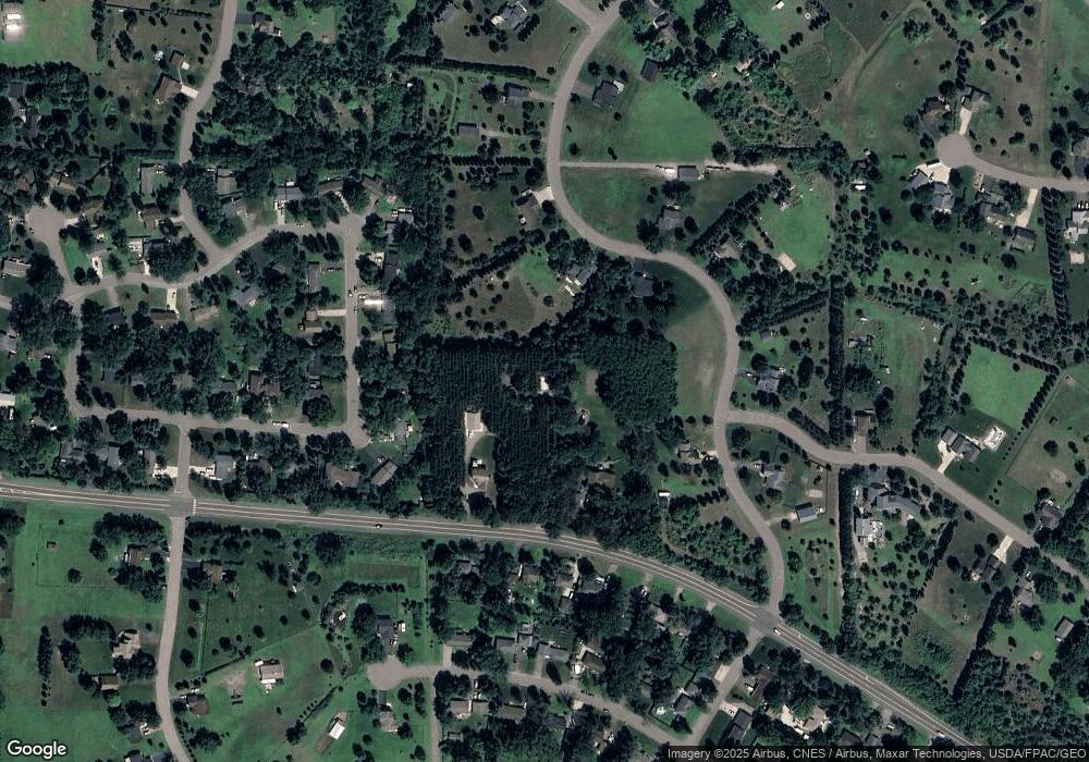
Map
Nearby Homes
- 10892 Territorial Trail
- 10888 Territorial Trail
- XXX Brockton Ln N
- 16480 Territorial Trail
- 11633 Minnesota Ln N
- 16400 County Road 81
- 16755 106th Place N
- 15981 Rush Creek Rd
- 18255 104th Cir N
- Aspen Plan at Evanswood
- Gibson Plan at Evanswood
- Kenton Plan at Evanswood
- Sutherland Plan at Evanswood
- Augustine Plan at Evanswood
- Kendall Plan at Evanswood
- Middleton Plan at Evanswood
- Riley Plan at Evanswood
- Victoria Plan at Evanswood
- 15916 116th Ave N
- 10352 Peony Ln N
- Unassigned County Highway #81
- 17300 Territorial Rd
- 17630 Territorial Rd
- 17501 113th Ave N
- 16850 Territorial Rd
- 17171 113th Ave N
- 16660 N 110th Ave
- 17620 113th Ave N
- 10941 110th Cir
- 16770 Territorial Rd
- 17100 Territorial Rd
- 18071 Territorial Rd
- 16790 111th Ave N
- 16791 111th Ave N
- 16791 112th Ave N
- 10905 Garland Place N
- 10903 Garland Place N
- 16780 111th Ave N
- 10930 Holly Ln N
- 16781 111th Ave N