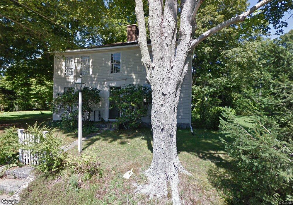
56 Bridge Rd Haddam, CT 06438
Estimated Value: $305,000 - $475,000
3
Beds
2
Baths
2,124
Sq Ft
$193/Sq Ft
Est. Value
About This Home
This home is located at 56 Bridge Rd, Haddam, CT 06438 and is currently estimated at $408,920, approximately $192 per square foot. 56 Bridge Rd is a home located in Middlesex County with nearby schools including Haddam-Killingworth High School.
Ownership History
Date
Name
Owned For
Owner Type
Purchase Details
Closed on
Jul 12, 2005
Sold by
Andersen David C and Andersen Grace A
Bought by
Bergin Joseph R and Bergin Amy S
Current Estimated Value
Home Financials for this Owner
Home Financials are based on the most recent Mortgage that was taken out on this home.
Original Mortgage
$210,000
Outstanding Balance
$109,976
Interest Rate
5.71%
Mortgage Type
Purchase Money Mortgage
Estimated Equity
$298,944
Create a Home Valuation Report for This Property
The Home Valuation Report is an in-depth analysis detailing your home's value as well as a comparison with similar homes in the area
Home Values in the Area
Average Home Value in this Area
Purchase History
| Date | Buyer | Sale Price | Title Company |
|---|---|---|---|
| Bergin Joseph R | $350,000 | -- |
Source: Public Records
Mortgage History
| Date | Status | Borrower | Loan Amount |
|---|---|---|---|
| Open | Bergin Joseph R | $210,000 |
Source: Public Records
Tax History
| Year | Tax Paid | Tax Assessment Tax Assessment Total Assessment is a certain percentage of the fair market value that is determined by local assessors to be the total taxable value of land and additions on the property. | Land | Improvement |
|---|---|---|---|---|
| 2025 | $5,532 | $161,060 | $47,870 | $113,190 |
| 2024 | $5,532 | $161,060 | $47,870 | $113,190 |
| 2023 | $5,455 | $161,060 | $47,870 | $113,190 |
| 2022 | $5,207 | $161,060 | $47,870 | $113,190 |
| 2021 | $5,180 | $161,060 | $47,870 | $113,190 |
| 2020 | $6,131 | $193,460 | $52,210 | $141,250 |
| 2019 | $6,131 | $193,460 | $52,210 | $141,250 |
| 2018 | $6,131 | $193,460 | $52,210 | $141,250 |
| 2017 | $6,131 | $193,460 | $52,210 | $141,250 |
| 2016 | $6,036 | $193,460 | $52,210 | $141,250 |
| 2015 | $6,385 | $204,640 | $52,210 | $152,430 |
| 2014 | $6,321 | $204,640 | $52,210 | $152,430 |
Source: Public Records
Map
Nearby Homes
- 163 Camp Bethel Rd
- 168 Camp Bethel Rd
- 159 Camp Bethel Rd
- 64 Bridge Rd
- 6 Bridge Ln
- 61 Bridge Rd
- 155 Camp Bethel Rd
- 160 Camp Bethel Rd
- 72 Connecticut 82
- 16 Bridge Ln
- 72 Bridge Rd
- 151 Camp Bethel Rd
- 71 Bridge Rd
- 17 Bridge Ln
- 180 Camp Bethel Rd
- 76 Bridge Rd
- 143 Camp Bethel Rd
- 149 Camp Bethel Rd
- 57 Bridge Rd
- 80 Connecticut 82
Your Personal Tour Guide
Ask me questions while you tour the home.